displaying 4561 results
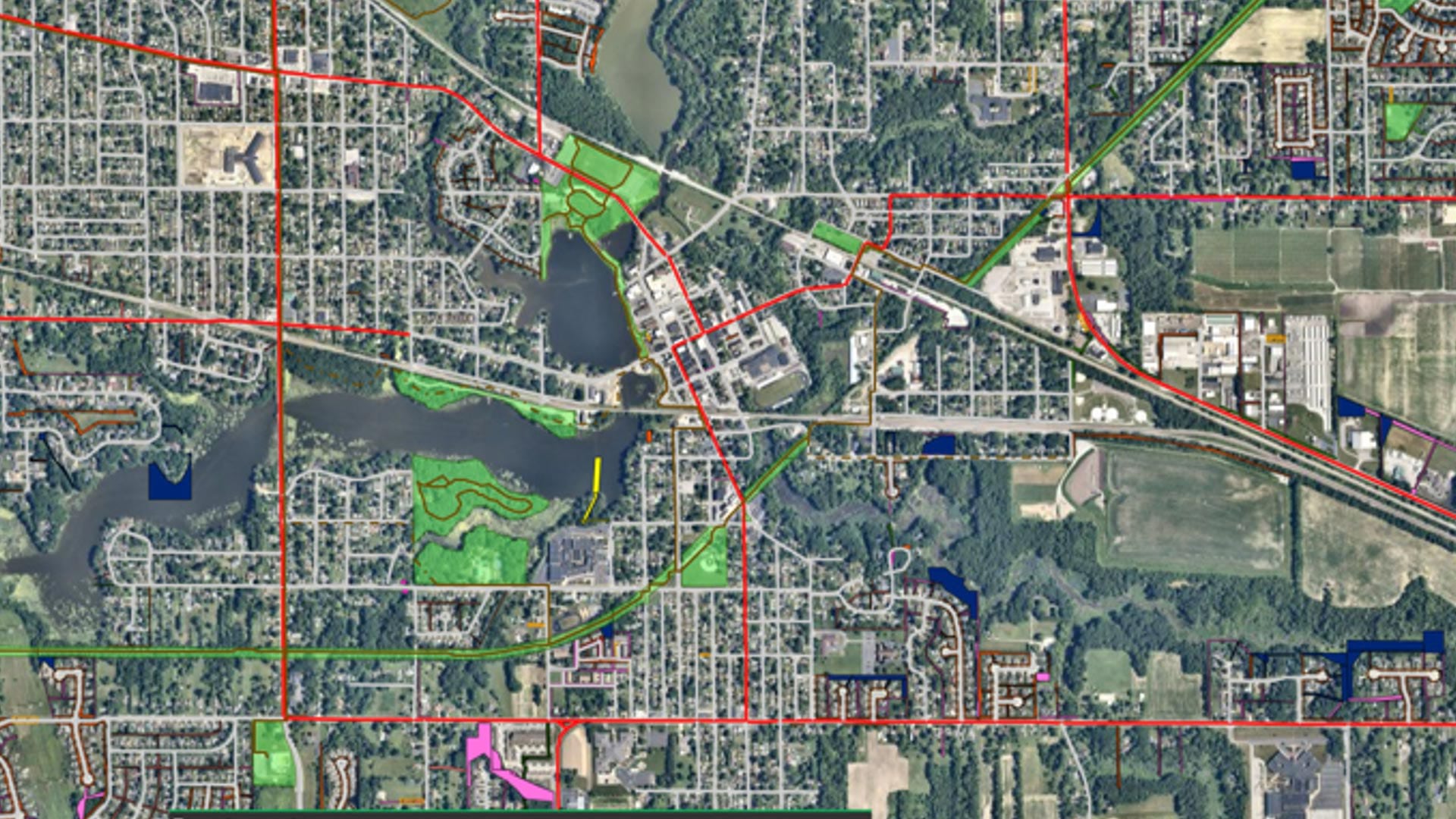
With help from Geographic Technologies Group, Hobart, Indiana, is building a sustainable, resilient, and scalable GIS for the whole city.
The Los Angeles Department of Water and Power is making spatial data more widely and readily available with ArcGIS Enterprise.
Organizations around the world are using GIS to build new housing, improve roads, and fix water supply issues—with help from Esri partners.
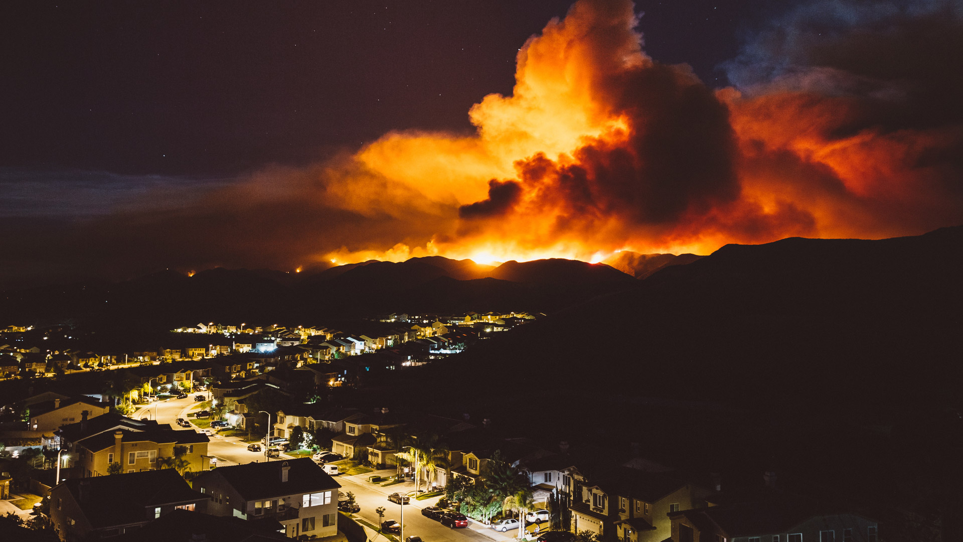
To act quickly when natural hazards strike, emergency service providers can now use First Due to bring together critical fire and EMS data.
Three newly-minted graduates who studied GIS at their colleges and universities offer some sage educational advice.
By making three significant enhancements to its policies and technology, Esri aims to get more people to use these high-priority datasets.
Learn how to visualize and analyze imagery, discover how to best prepare for change, and get motivated to take a certification exam.
Miami Beach, Florida, is one of the most vulnerable areas for sea level rise in the United States.
A big redevelopment project in Memphis, Tennessee, leveraged lots of geospatial technology—from apps to surveys—to aid with decision-making.
Advanced technology from Esri startup partner VODA.ai reduces nonrevenue water loss by finding pipe weaknesses before they fail.
Esri’s new racial equity initiative aims to help users leverage location intelligence to address issues that revolve around race.
In this time of global calamity, organizations should get ready for what may come next. Building resilience could make all the difference.
