displaying 999 results

Presenters at the 2023 Esri User Conference inspired the Plenary audience by demonstrating how they are using GIS to create a better future.

Terraformation is shaking up the reforestation game by using GNSS and ArcGIS technology to map plants that mimic the growth of native ecosystems.
This article is an abbreviated synopsis of the opening session of the 2007 Esri International User Conference.

For utilities with robust GIS infrastructure, using ArcGIS Monitor to track system performance and resources keeps things running smoothly.

Esri’s new Social Science Collaborative aims to help social scientists use GIS more regularly, especially for qualitative analysis.

At the 2022 Esri User Conference, presenters and attendees showed how innovative the GIS community can be when solving complex problems.

2022 marked the return of an in-person Esri User Conference, and presenters made a big comeback by demonstrating powerful uses of GIS.

Since the start of the COVID-19 pandemic, AAG has offered more than 100 varied events online. Here’s what the organization has learned.

A new broadband solution aims to help close the digital divide, the latest American Community Survey data is ready to use, and more.
Leaders have instituted a geographic approach to implementing, monitoring, and analyzing USAID activities throughout the country.
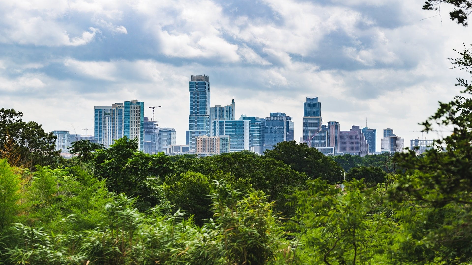
The city of Austin leveraged ArcGIS Dashboards to inventory thousands of trees in an effort to preserve and expand the city's urban forest.

The Clemson Center for Geospatial Technologies helps faculty and students implement GIS in ways that tackle global challenges creatively.