displaying 998 results
The first virtual Esri User Conference (Esri UC) engendered a global camaraderie and a hope for creating a geospatially literate society.

Science is part of Esri’s DNA, and what the world needs now is the power of deep, integrative geographic science.

The 2020 Esri User Conference is going virtual, and Esri is providing free software to a range of groups affected by COVID-19.
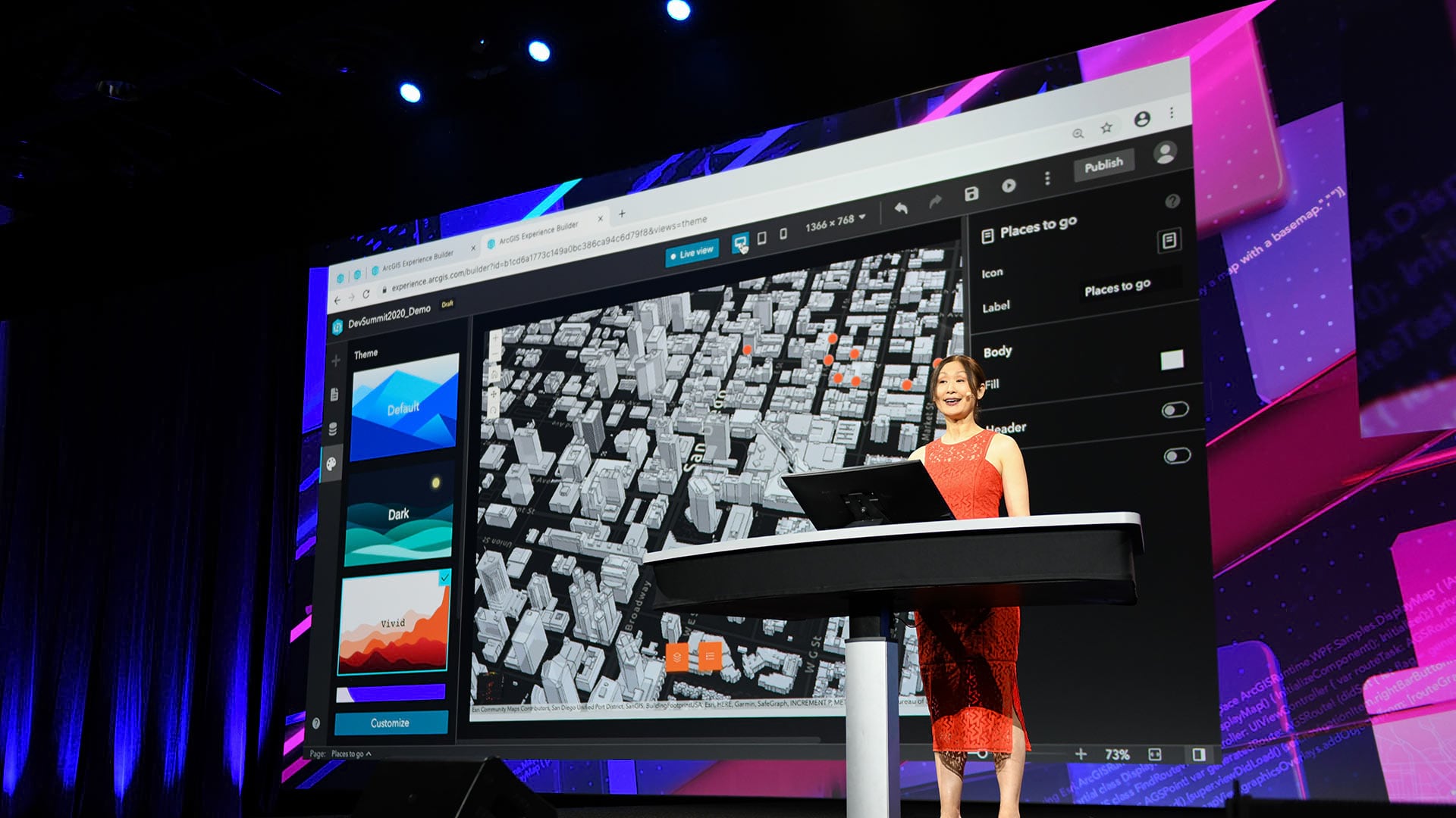
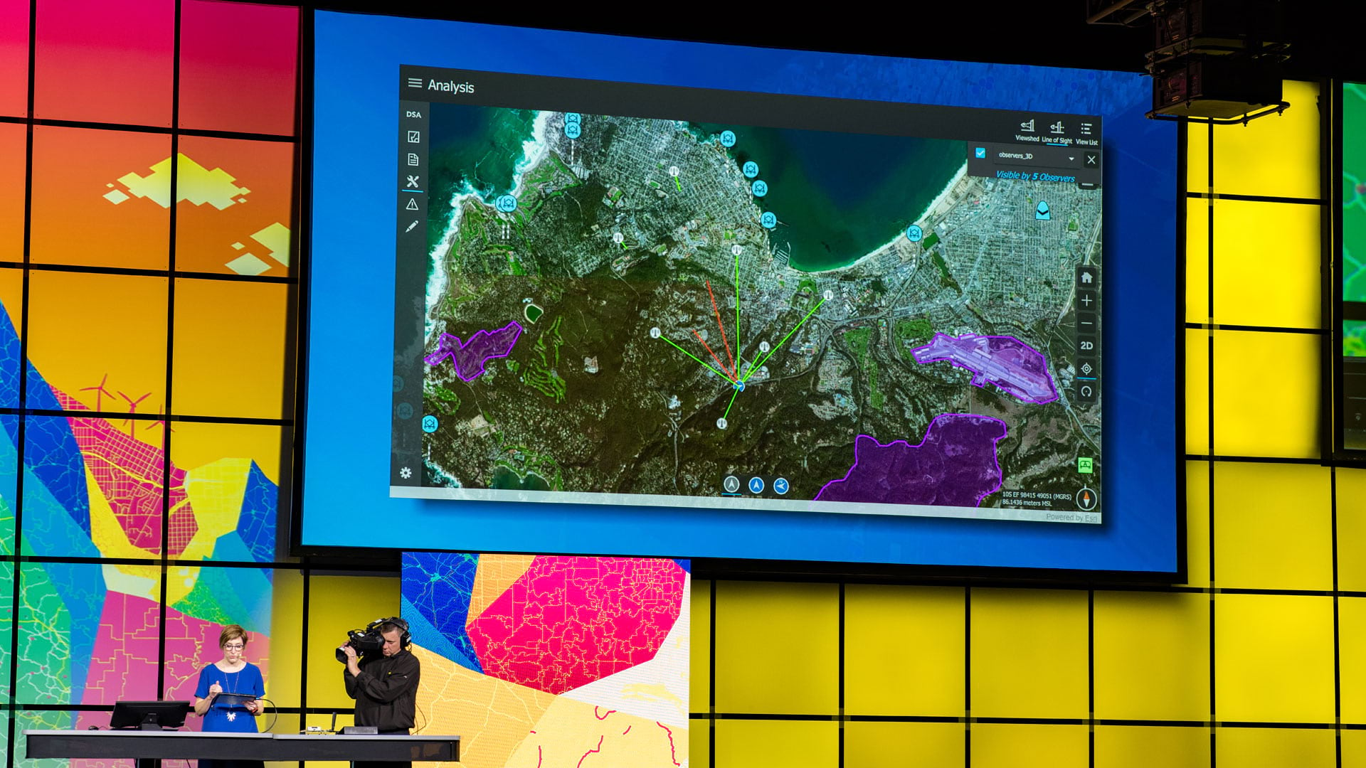
Developers who tuned into the 2020 Esri Developer Summit, held online, heard about the most up-to-date innovations in ArcGIS technology.

Numerous geodesign projects, including one to make a US Air Force base more climate resilient, were presented at the Geodesign Summit.
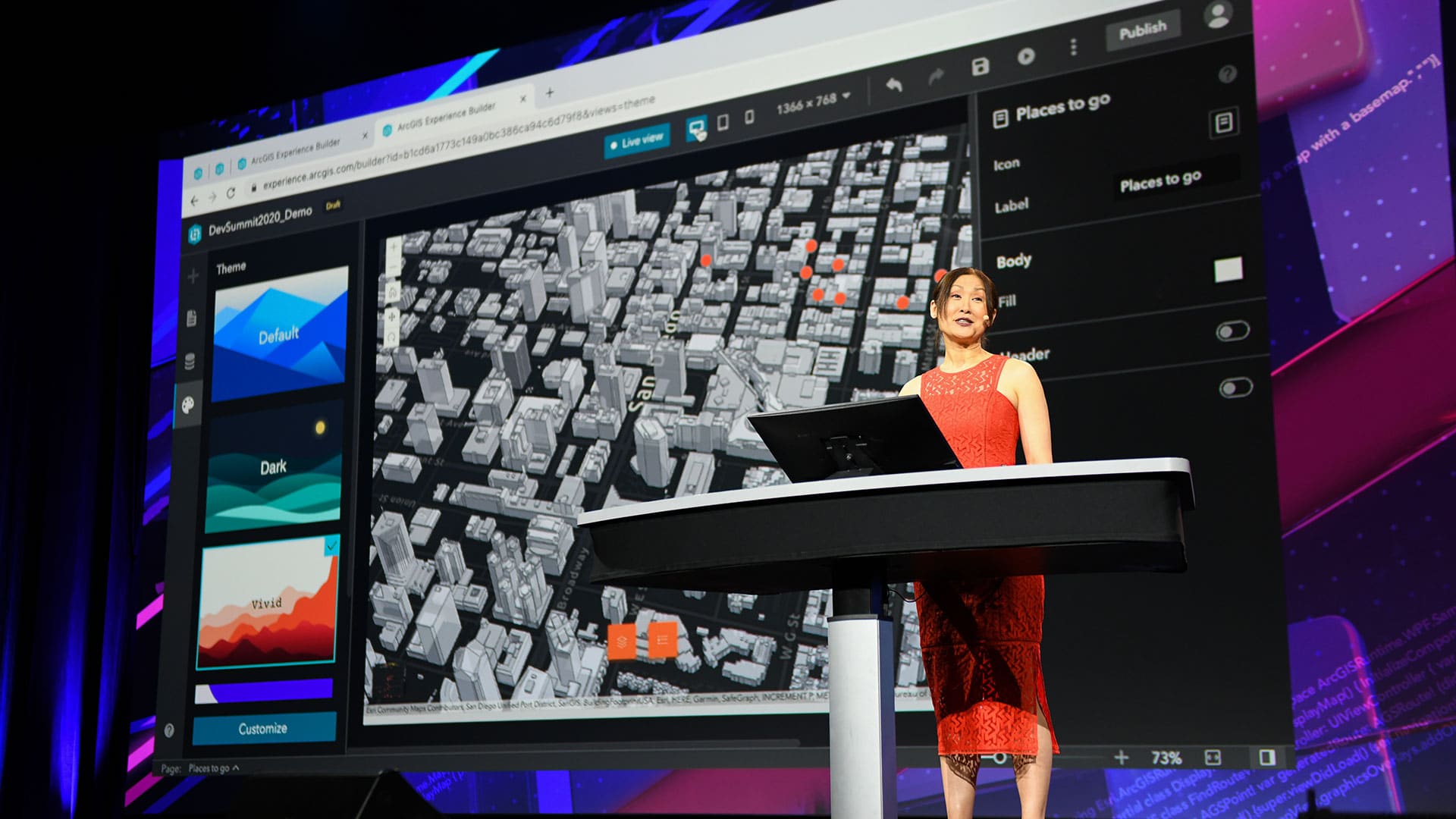
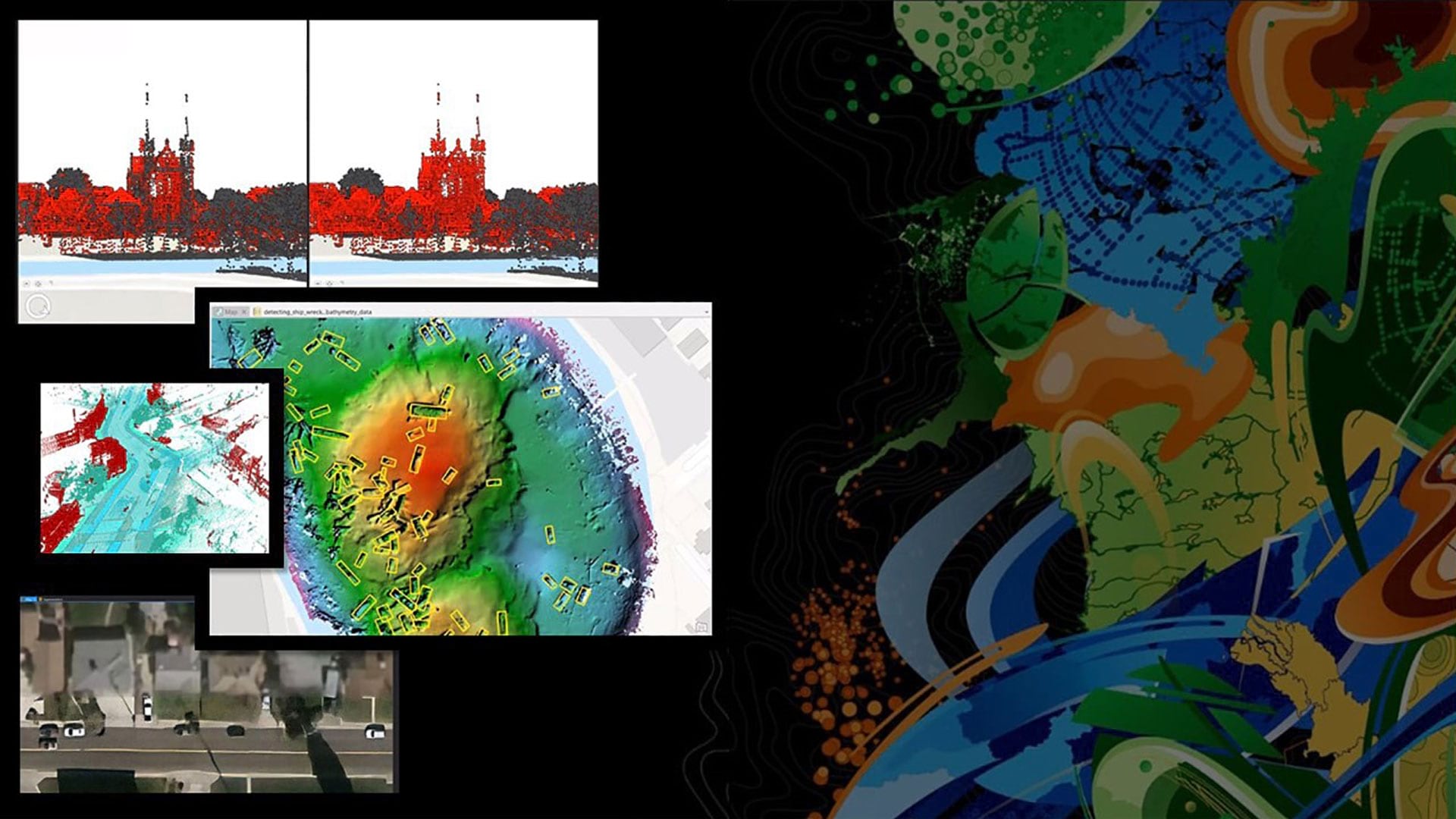
The Esri Developer Summit focused on new capabilities in ArcGIS including those in 3D mapping, natural language processing, and data science.
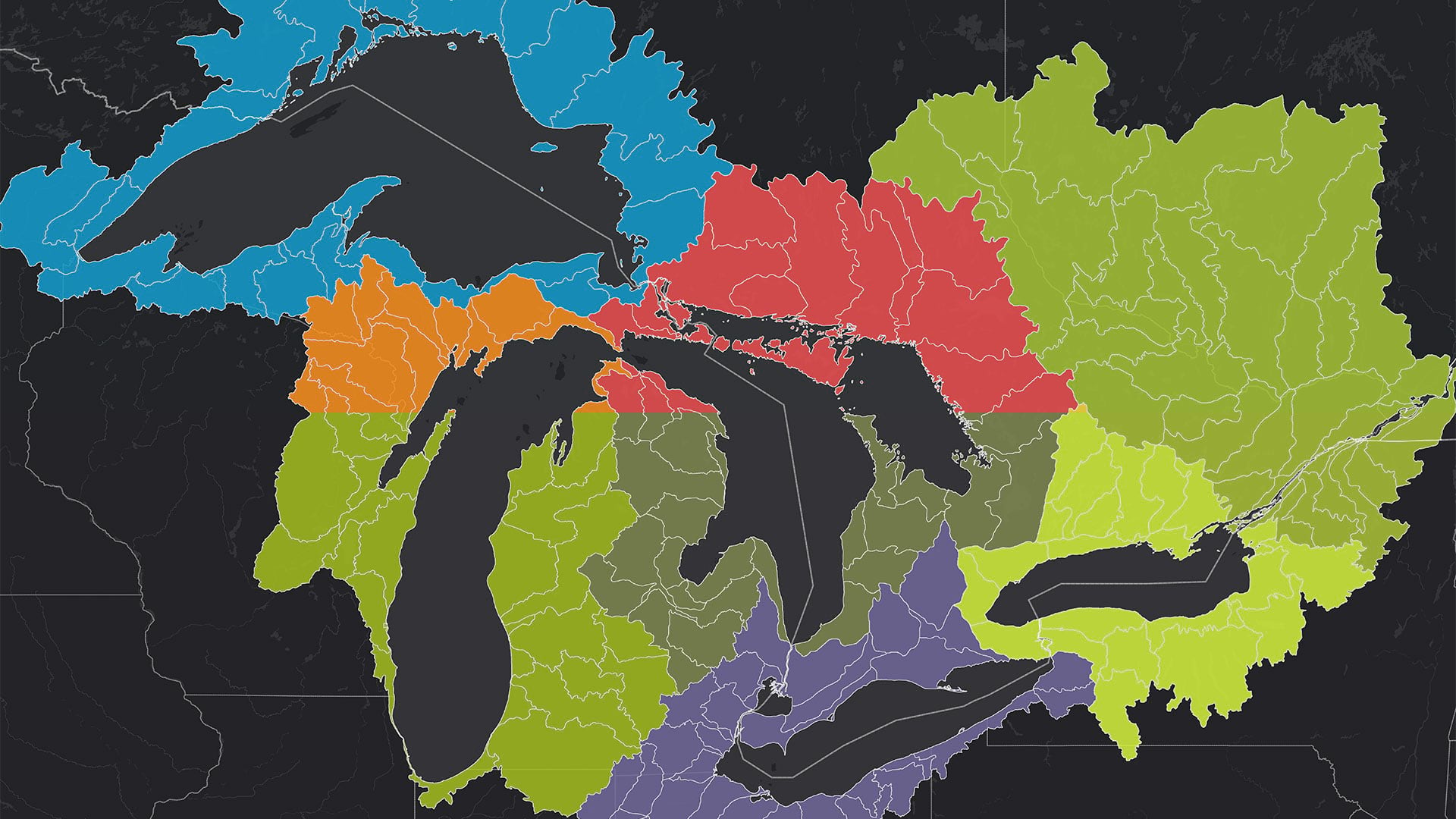
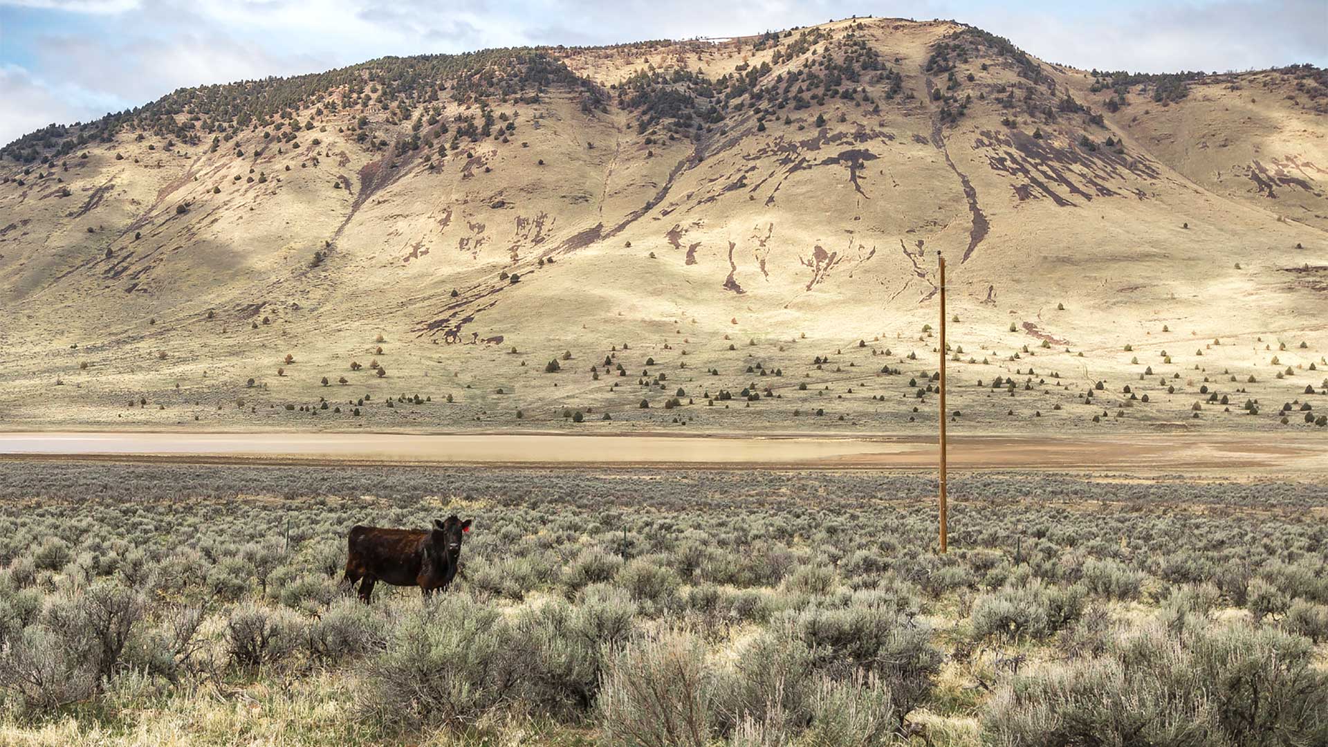
The Tipping Point Planner Program helps participants link watershed data to local decision-making processes to better plan for the future.
The office increased efficiency and data quality by implementing custom mobile data collection, data management, and reporting tools.

Esri Press has new books on GIS and science, the history of cartography, green infrastructure, and how to use GIS for governing.

To help solve real-world problems, SDSU’s Center for Human Dynamics in the Mobile Age does location-based analysis of social media posts.

Green infrastructure and network mapping are the focus of two new books published by Esri Press.
At the 2019 Esri Developer Summit, attendees learned how to best work with Esri technology and how their creations foster positive change.