displaying 410 results
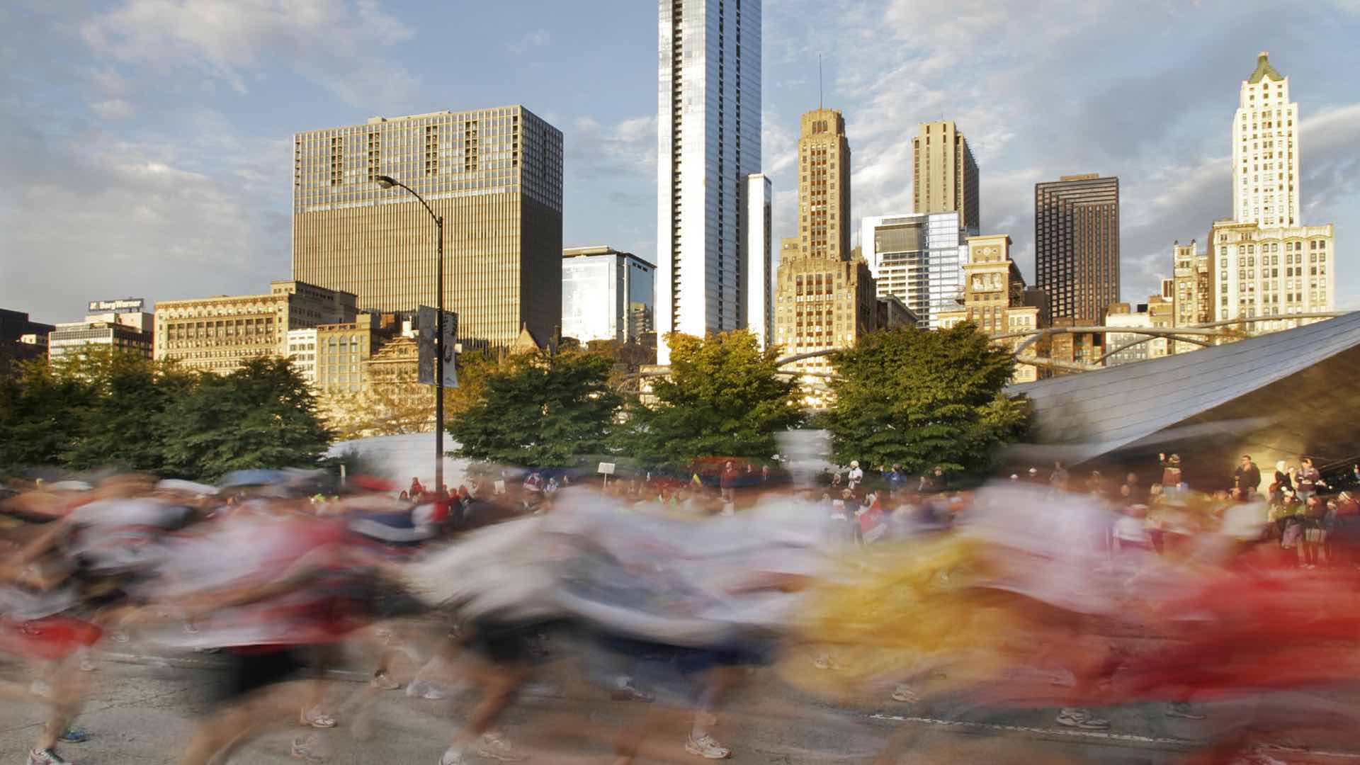
Connecting Chicago’s Emergency Operations Center to real-time runner locations on the course helps the Chicago Marathon run smoothly.
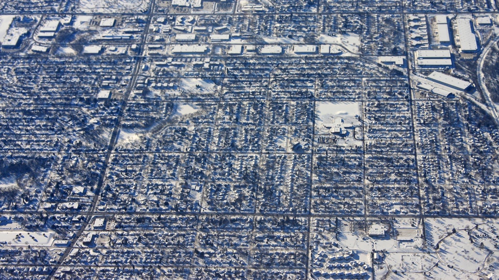
Mapping the history of racial segregation in Minneapolis reveals lasting impacts.
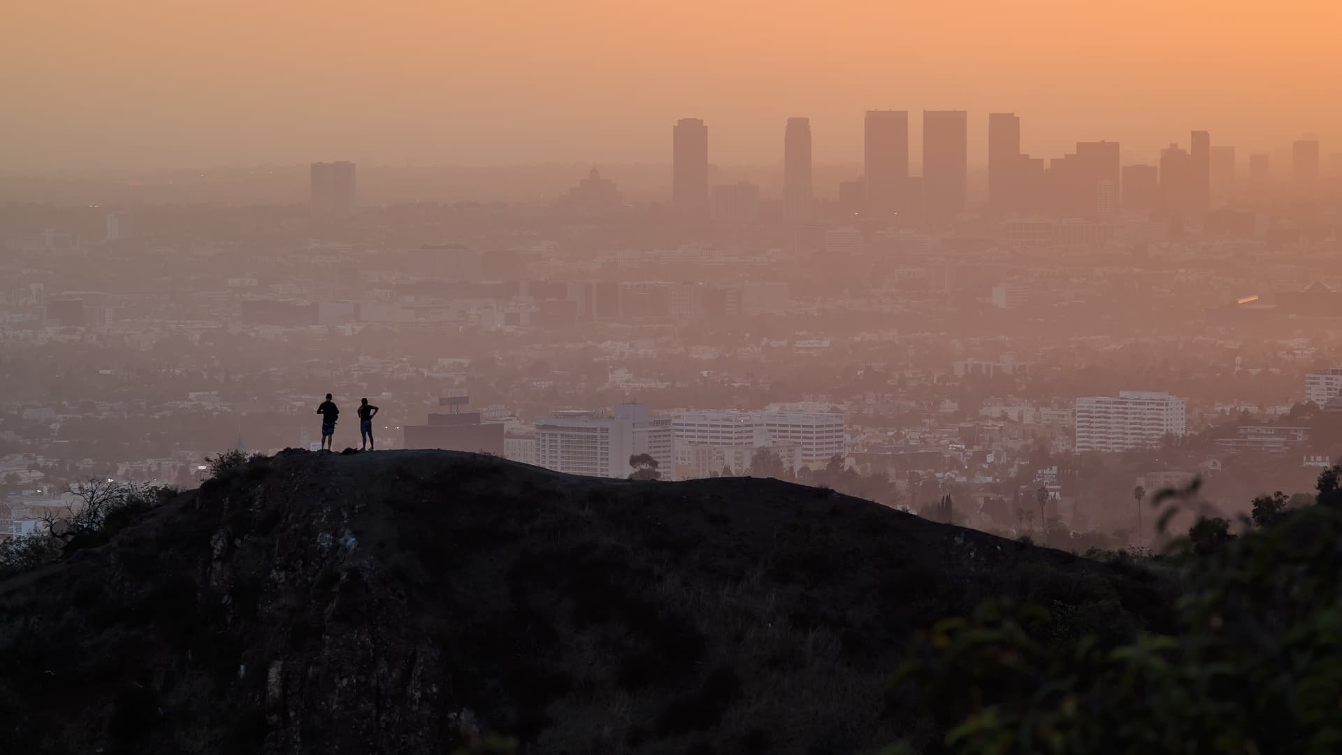
L.A. County's mapping process set community priorities, and maps conveyed the plan to the public.
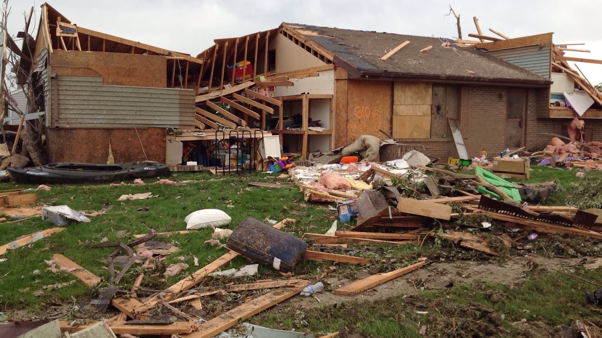
A speedy response after a tornado comforts the victims. Handheld apps ease their burden best.

The Trust for Public Land partners with cities nationwide to transform vacant land into parks, always factoring in equity.
Sean O’Brien of NatureServe interviews Esri chief scientist Dawn Wright about oceanography and the Map of Biodiversity Importance.
Esri and the Geneva International Centre for Humanitarian Demining will work together to modernize the software that helps countries plan...
One trillion trees. That's how many trees Felix Finkbeiner and the Plant-for-the-Planet initiative he leads hope will be planted.
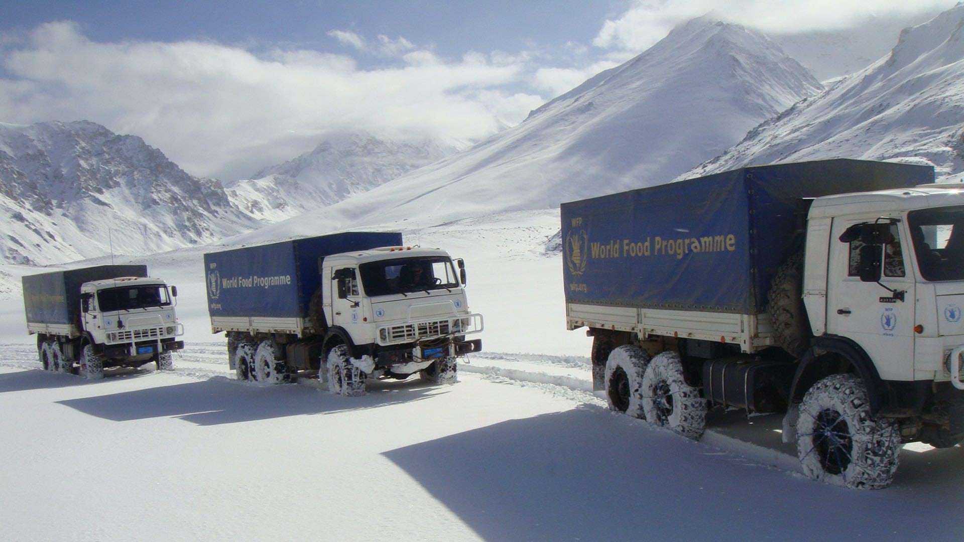
The World Food Programme uses maps, apps, and dashboards to gather and convey context and plan every mission in Afghanistan.

As religious services attract fewer attendees, those who tend the faith are using unconventional methods to find new ways to serve the community.
Local Voices, Local Choices: The Tacare , Measuring Up: The Business Case for GIS, Volume 3,
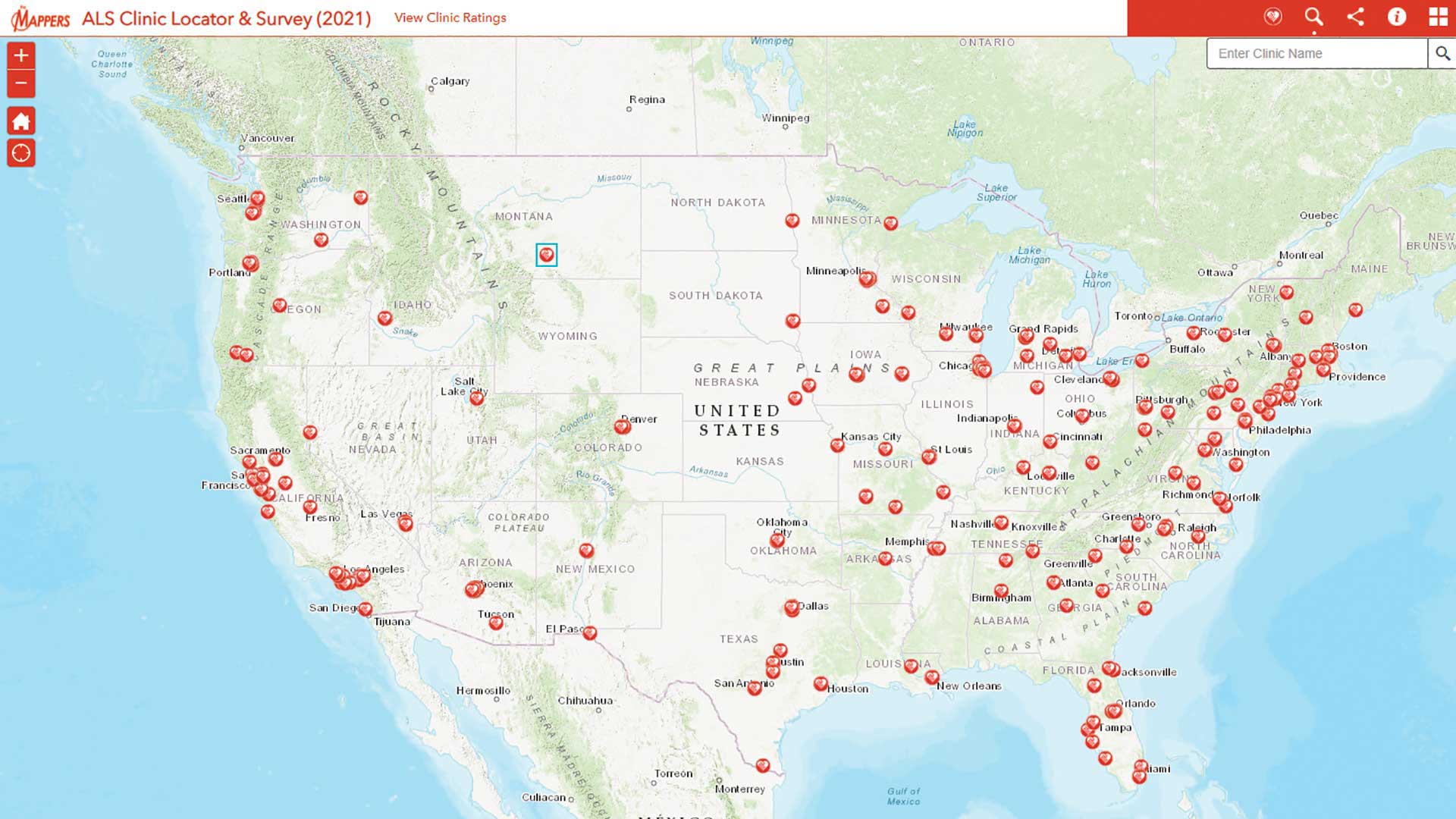
Pat Dolan used his GIS expertise to build tools to help the amyotrophic lateral sclerosis (ALS) community.