displaying 595 results
The Cumberland Trails Conference uses maps and apps to combine fragmented habitats into a network of trails and wildlife corridors.

The Jane Goodall Institute makes use of geospatial technology to increase the scale and pace of conservation impact.

At the 2022 Esri User Conference, presenters and attendees showed how innovative the GIS community can be when solving complex problems.
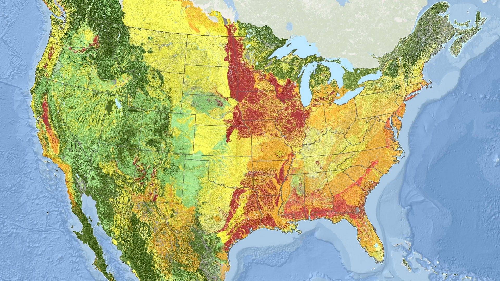
Using ArcGIS technology, NatureServe has applied a new standard for monitoring ecosystems at risk of collapse across North America.

By using established metrics and the latest geospatial technology to monitor progress, it is possible to curtail biodiversity loss.
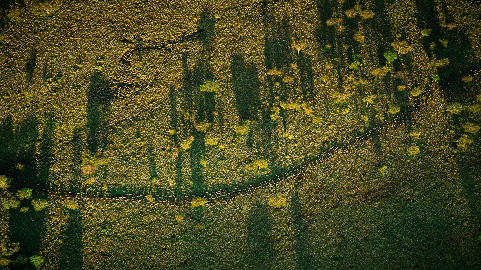
Laly Lichtenfeld from African People and Wildlife explains how technology is assisting inclusive conservation efforts in Tanzania.
Discover how ArcGIS Field Maps helped improve butterfly conservation efforts in Yamhill County, Oregon.

An early love of the sciences led Breece Robertson to a GIS career and to the creation of ParkScore, a database that scores US park systems.

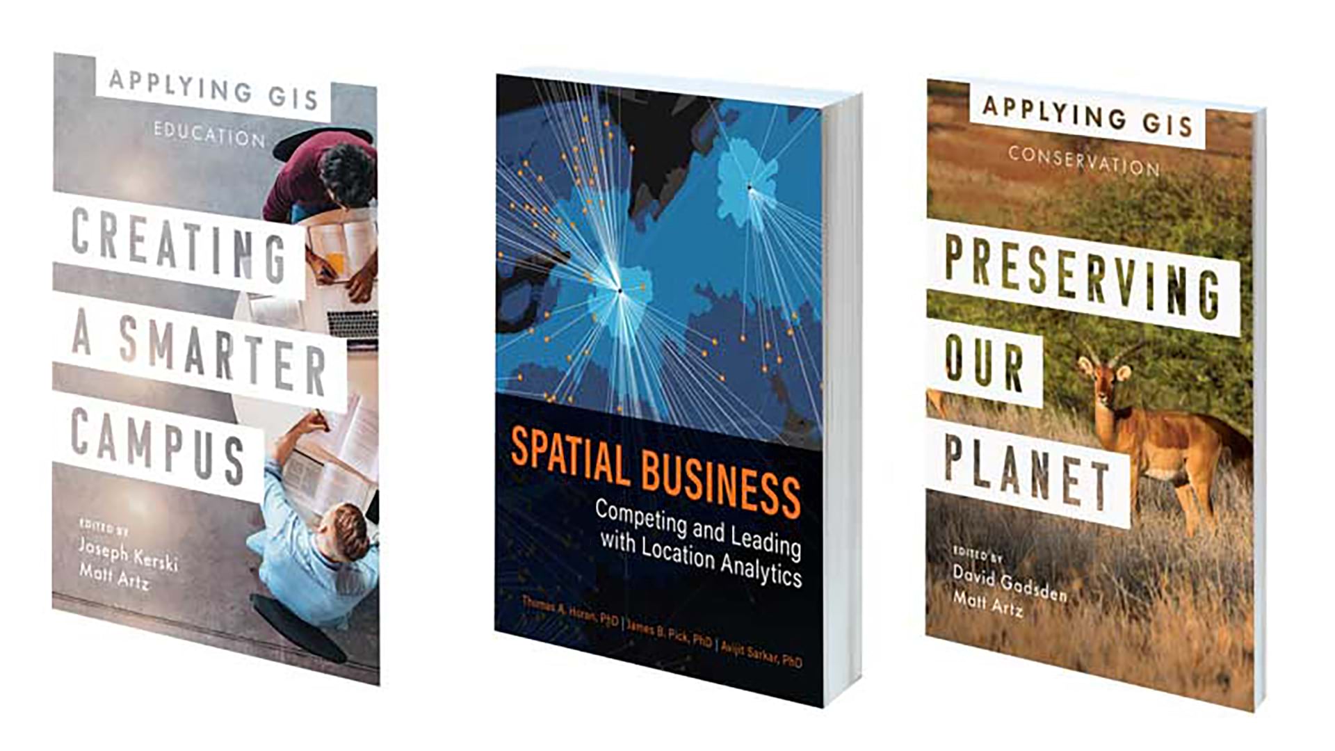
New books from Esri Press cover a range of topics, from how to design map interfaces to how to use GIS for conservation and education.
New books include one from the Jane Goodall Institute that details its holistic method for conservation, plus others on mapping and GIS.
Featured books from Esri Press focus on several topics including land and park conservation, emergency management, and crime mapping.