displaying 778 results
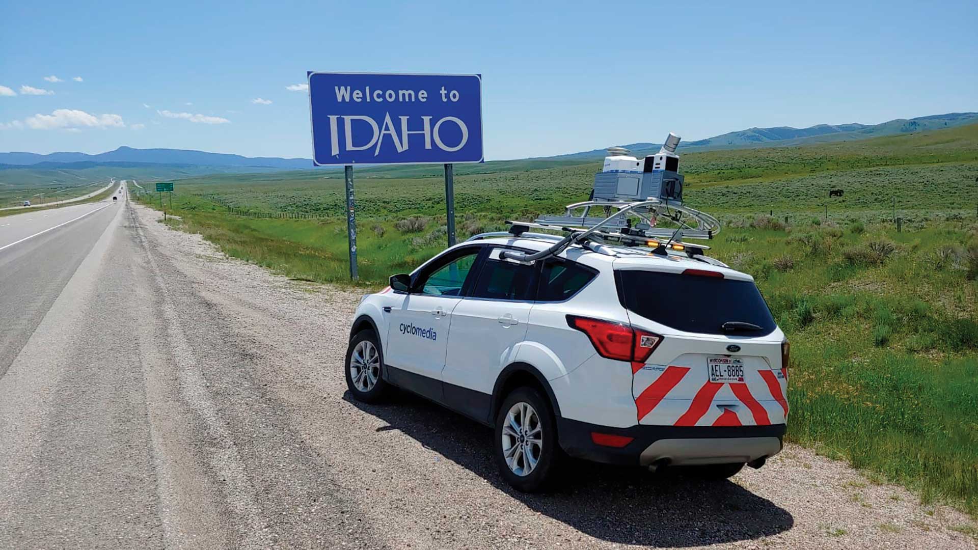
The Idaho Transportation Department (ITD) used mobile vehicle-based data collection and automated data extraction to document its highway system.
RTA applies location intelligence to understand changes in revenue and ridership to survive the pandemic.
Once considered part of the American Wild West, today the state of Idaho is a large, sparsely inhabited state.

The spread of COVID-19 in Whatcom County, Washington, required optimizing the placement of two advanced life support (ALS) response units.

To understand and mitigate the challenges caused by potential extreme events related to climate change, the Massachusetts Army National Guard...

Esri's Ian Koeppel discusses Rail Baltica, the high-speed rail project that will link the Baltic States to Europe.
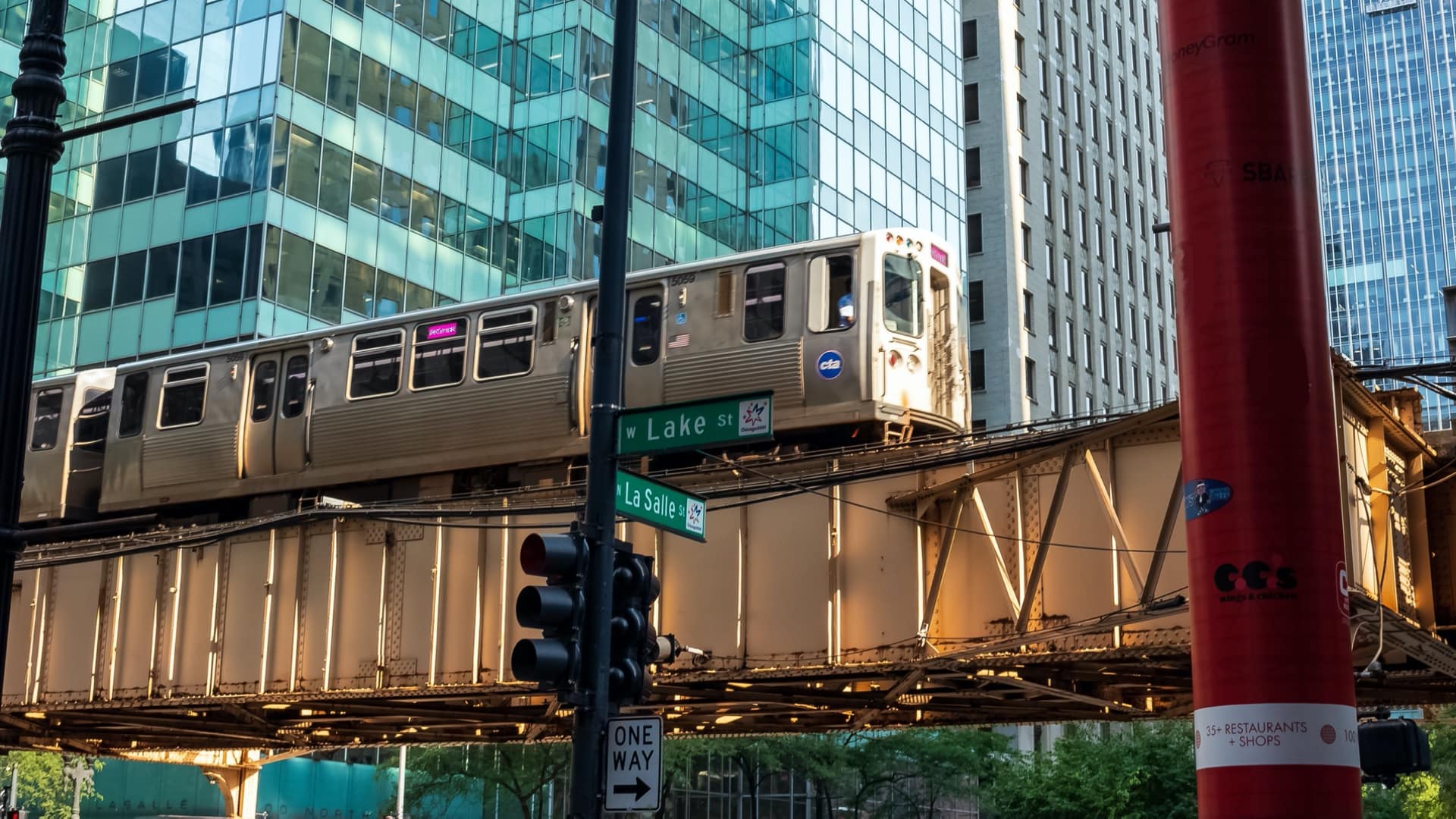
Web mapping applications created by an Illinois regional transportation authority have made it much more responsive to requests from both intern…
Presenters at the 2015 Geodesign Summit showed how geodesign technologies are moving into areas such as transportation, economic planning, and...

Fast growing Prague struggles to reconcile economic dynamism and historic preservation.

The Maryland Department of Transportation created a site called Project Portal to give the public a dynamic map of statewide roadway projects.

Using ArcGIS Online, the Michigan Department of Transportation cleaned graffiti off 76 highway signs in 35 days.