

February 15, 2022 |
Terry Bills | Infrastructure
February 7, 2023
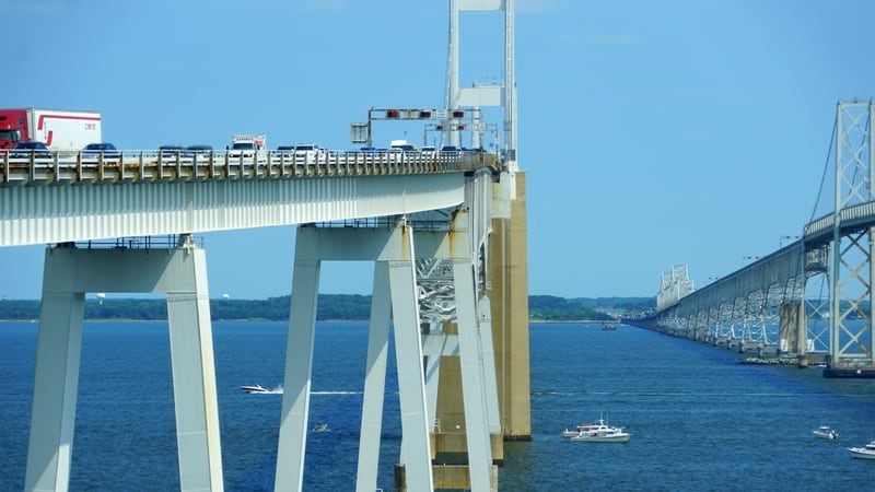
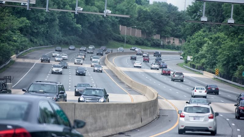
The US relies on a vast network of infrastructure to support its economy and keep its people moving. But an estimated one in five miles of highways and major roads, along with 45,000 bridges nationwide, are in need of repair. Transportation agencies are addressing these deficiencies to deliver a safe and sustainable network for their customers. Now, as states kick off massive repair and rebuild projects funded by the Bipartisan Infrastructure Law, they are keeping residents informed of improvements being made through the use of interactive smart maps.
Officials in Maryland share infrastructure project news and details with the state’s six million residents on the Maryland Department of Transportation State Highway Administration’s (MDOT SHA) Project Portal. The site uses geographic information system (GIS) technology to enhance transparency and improve internal staff communications with location-specific data.
“People do want to be involved, and they do care a lot about their roads,” said Elizabeth Harris, District 7 (Howard, Frederick, and Carroll counties) community relations manager for MDOT SHA. Harris credits the Project Portal for enabling stakeholders to become more engaged in the department’s maintenance process. “They want to know what’s going on in their neighborhood.”
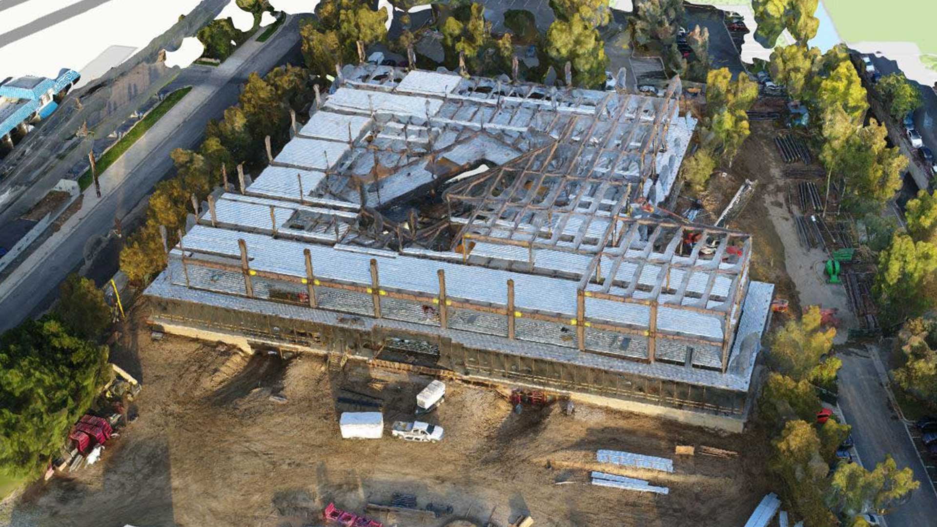
MDOT SHA’s Project Portal includes drone imagery and videos which Harris says have been valuable to show the progression of projects, like the start to finish of building a bridge. Metrics show more than 95,000 visits to the site in 2022—a 36 percent increase from the prior year. The MDOT SHA Office of Communications team monitors metrics to see how the overall site and specific pages are performing.
“It’s interesting for me to see which pages are doing well, and the projects that people care about most,” Harris said.
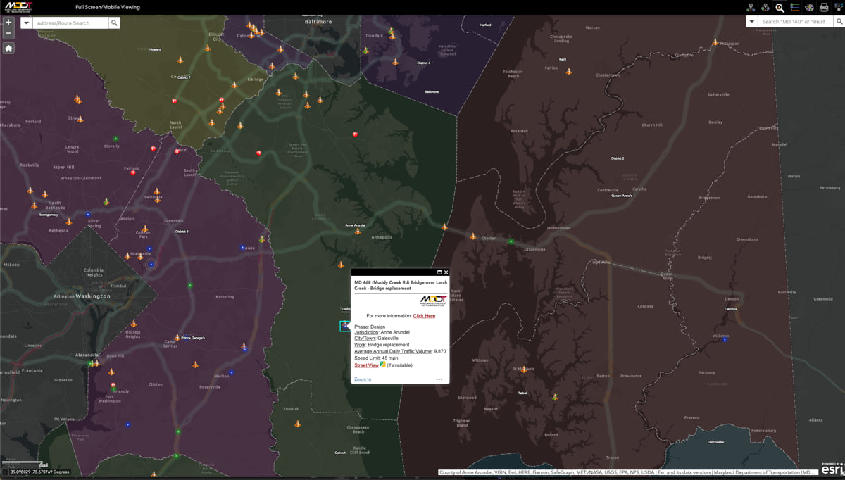
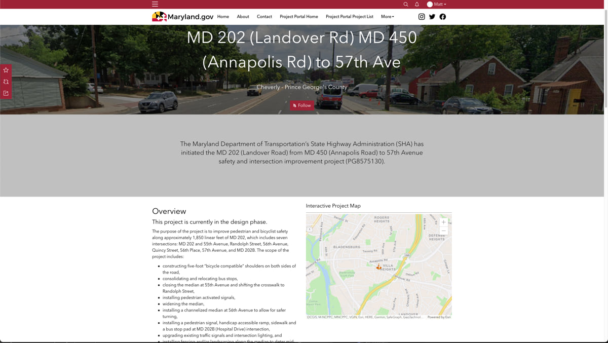
Site visitors can explore a map of more than 150 major roadway and bridge projects with up-to-date information including status, detailed plans and objectives, and any closures that may impact travel. Residents can also view project information from recent years and see details for what’s coming next. An estimated 10 years’ worth of project data can be stored on the site.
The portal has also been helpful for the Office of Communications. Now public outreach materials such as mailers and newsletters include QR-code links to the project page or calendar for more information. Residents can use the site’s calendar to access virtual and in-person meetings tied to a specific project.
“We decided to link the event calendar to the project page so the public can get information. Then after the event, everyone can see documents and PowerPoints and everything else from that meeting,” said Marshall Stevenson, GIS program manager for MDOT SHA.
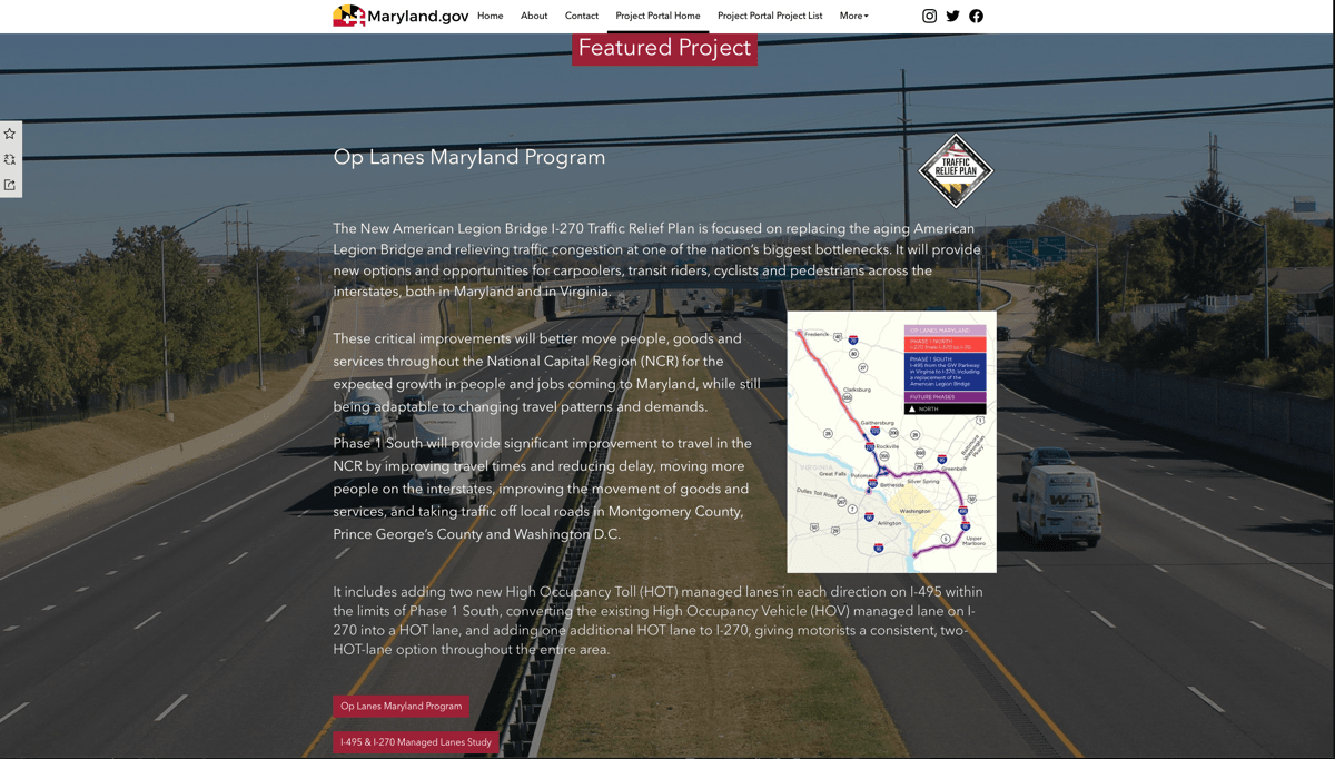
The site includes links to other applications such as MDOT SHA’s popular snowplow tracking site that shows active vehicles cleaning up after a storm. MDOT SHA also shares a featured project with details on high-profile roadway construction and a section on targeted beltway projects, with added details for residents who commute to Washington, D.C.
So far, feedback on the Project Portal has been positive, with the biggest benefit being increased transparency and improved communications. Shelby Blashford, Project Portal page manager for MDOT SHA, called it “a great tool to increase our engagement with the public.”
Maryland’s former roadway construction website contained mostly financial information related to ongoing and future construction projects and was based on internal needs and MDOT SHA business processes. Due to stakeholder needs, MDOT SHA sought to create a more user-friendly site that included progress photos and videos. Blashford says there is now more efficient communication between MDOT SHA headquarters and the seven district offices. Her department is more aware of updates on roadway projects and can better discuss details with state and local officials. Additionally, the site helps her team prepare for public meetings and provides reliable status updates on projects.
Information on the portal also helps senior leadership answer questions from constituents and stay abreast of updates. “It’s really been great to get the information out there, and just letting everyone use it as they need,” Stevenson said.
Learn more about how GIS is used to drive transportation efficiency and discover how you can align your community’s initiatives with federal funding objectives using GIS.