displaying 992 results
Listen as Allie Kelly, Executive Director of The Ray, explains the imperative of greenifying the US power grid.
Journalist Paul Salopek is interviewed by Esri chief marketing officer Marianna Kantor about his 21,000-mile walk around the world.
Geodesign methods and GIS technology can offer insights on pressing global issues. Find out how at the 2020 Geodesign Summit.
Fresh insights for logistics and transportation executives as profitability, consumer preferences, and sustainability goals shift

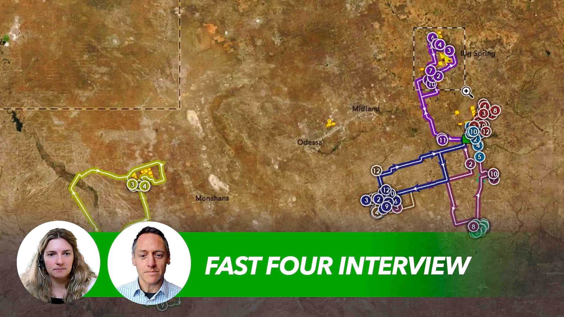
Natalie Stirrat, Technical Director at Arcadis, discusses the sweeping overhaul of infrastructure taking place in the US and around the world.
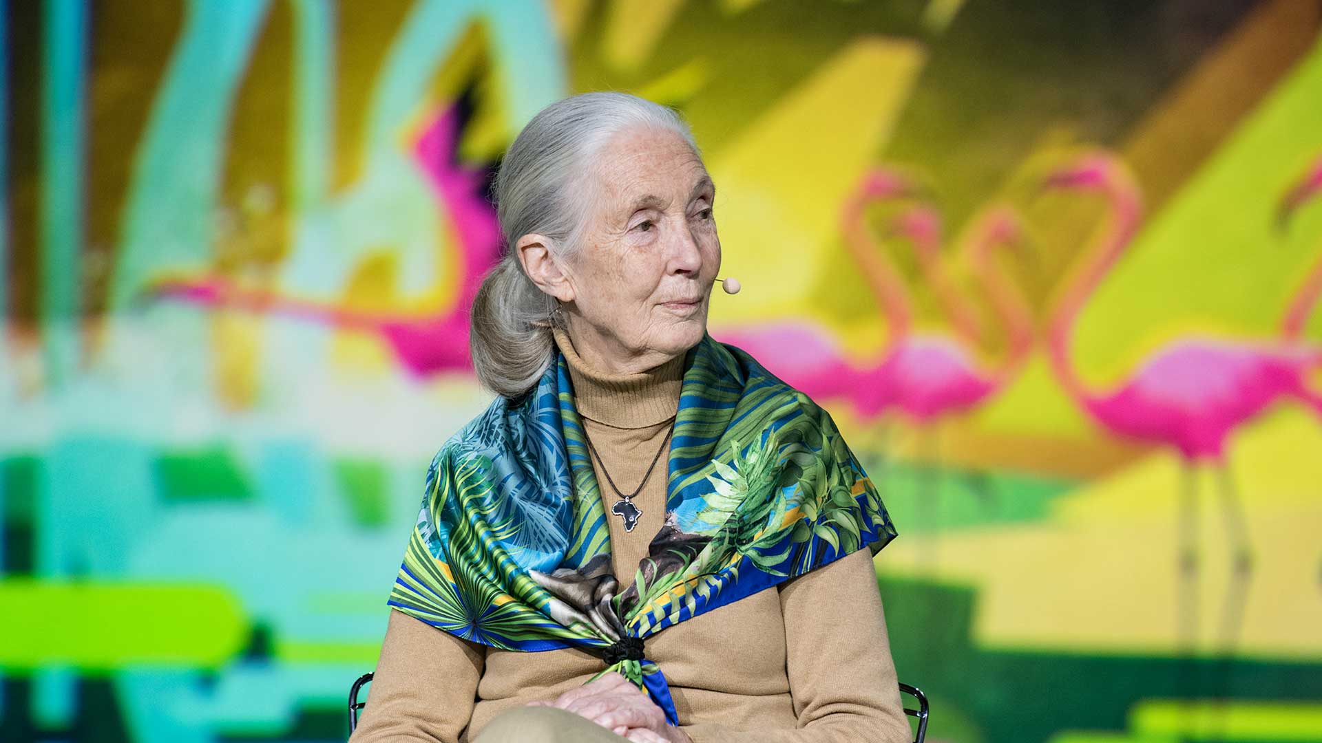
Anthropologist Jane Goodall talks about her research in the wild and the wisdom of conservation.
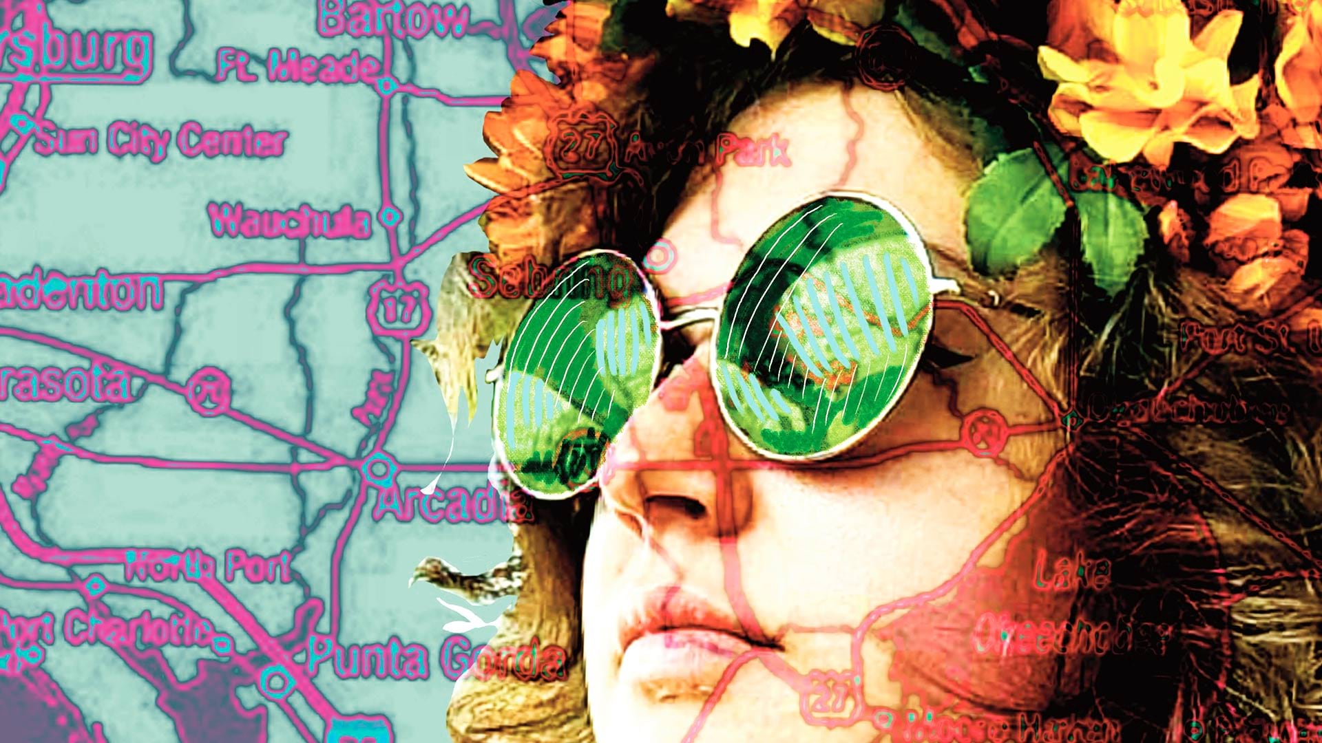
A Florida University combined geography and art in an innovative new class.

AutoCAD 2025 now features ArcGIS Basemaps and ArcGIS Living Atlas of the World data; Esri’s Maps.com highlights exceptional maps.
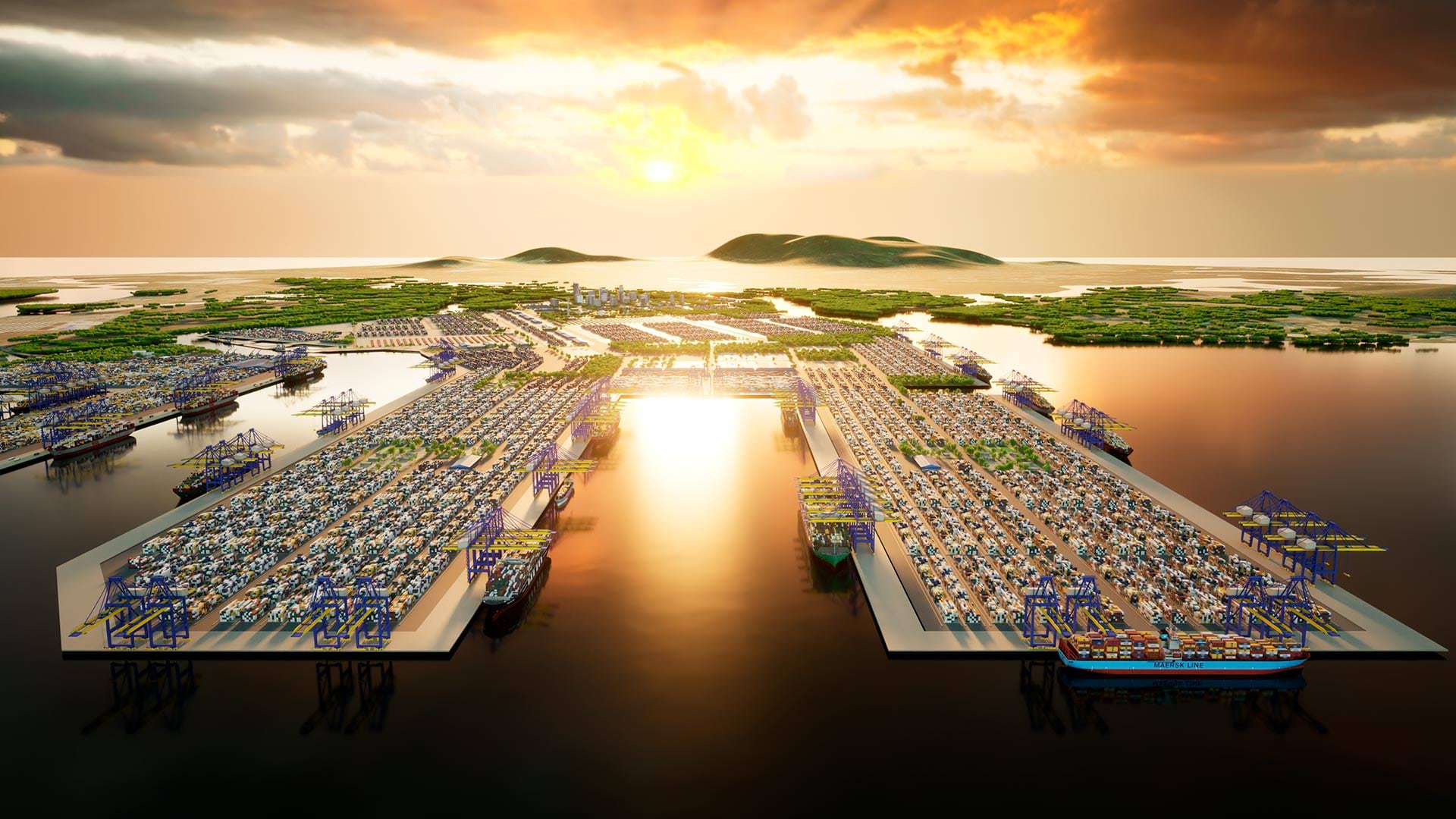
3D GIS workflows and models have created a digital twin to help guide development of port facilities in Vietnam.

New books from Esri Press cover geospatial technology in the field, GIS and wildland fire, and GIS for geospatial collaboration.
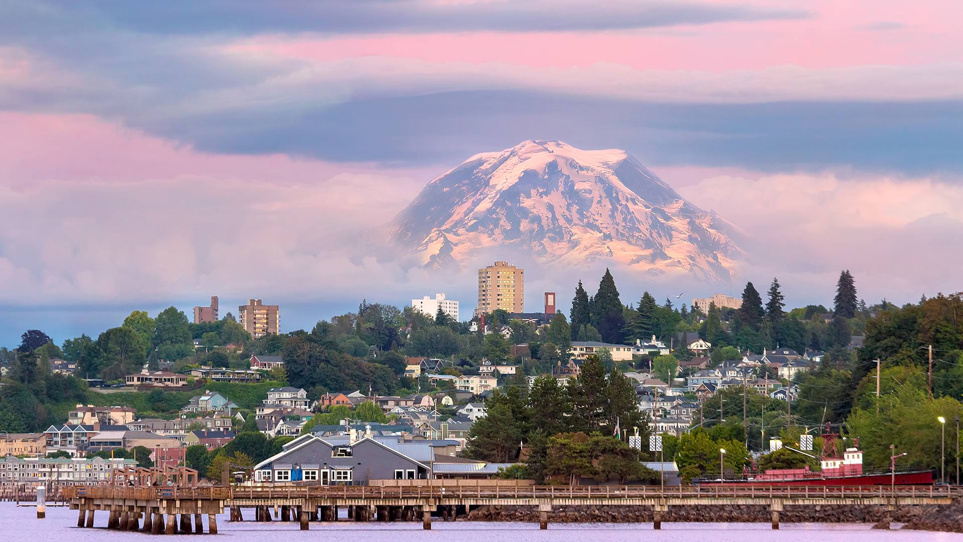
In Tacoma, Washington, the city’s chief technology officer led her team to create a GIS-powered equity map that helps guide city decisions.

A city in the Czech Republic used ArcGIS Hub to enable widespread use of dynamic city data in a variety of projects and systems.