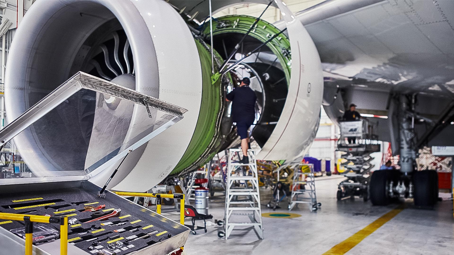
Route optimization may sound like the simple act of moving more quickly from point A to point B, but as Esri’s Agata Miszczyk explains in this Fast Four video, logistics and transportation companies have more to consider. As they move goods and employees among destinations, these firms are using the analytical and visualization capabilities of GIS software to balance the demands of customers, net-zero goals, and the bottom line.
In under five minutes, this Fast Four episode reveals how logistics providers are maneuvering in a shifting business climate—and how they create a business edge while dealing with:
- Changing consumer shopping patterns
- New modes of transportation
- The electrification of delivery fleets
Check out the Fast Four video or read the transcript below.
Chris Chiappinelli: Thanks for checking out the WhereNext Fast Four, where we discuss the enterprise technology known as GIS, or geographic information systems, and its impact on the business world. In this episode, we are talking logistics and transportation with Agata Miszczyk. Agata, logistics companies have a long history with GIS software. Can you tell us how that all began?
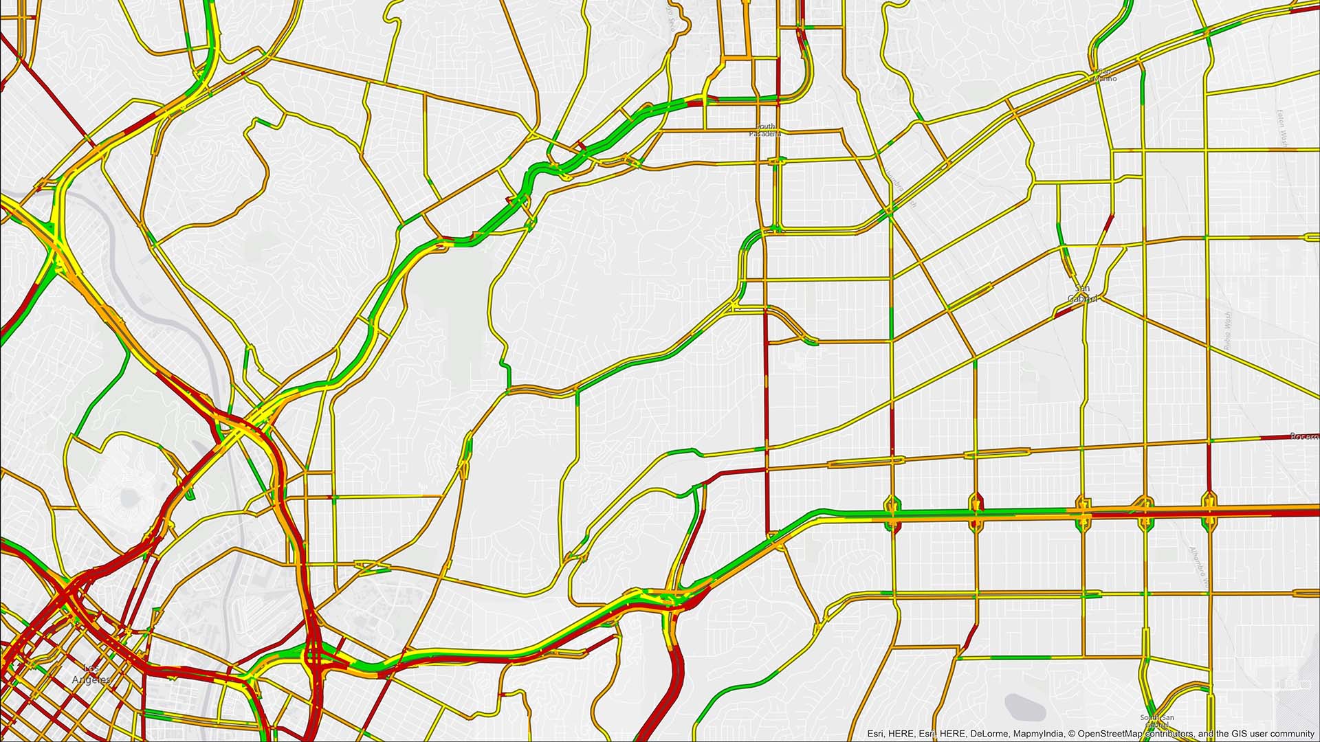
Agata Miszczyk: GIS really began in this space in basic route optimization, helping organizations figure out what the most efficient way to move goods or services to a destination is. And over time, route optimization has really evolved as technology has improved, and you can take more things into consideration and understand what optimization really means. Someone might be optimizing for the shortest distance, while another organization might be optimizing for shortest time or trying to reach a specific area in one route. But I think that’s where GIS has started and also where it’s really evolved.
Chiappinelli: So they needed to know where to go, and consider all the conditions to that. So that’s the basis, but what about today? How are they using technology like GIS now?
Miszczyk: Today, telemetry is a big focus in this space. More and more fleets are collecting some sort of information about what their vehicle is doing, where their vehicle is. And GIS can really help get some insights from that [telemetry] data and figure out what’s important about that data.
A transportation company that we’re working with is actually using that telemetry data to understand how long they’re spending at each customer site, and then being able to run some analysis on that to better understand different types of customers and help them plan for the future. And then we also have some companies that we’re working with that are using this telemetry data for tax purposes, for example, or accounting to better understand mileage traveled.
And then I would say the other big area where GIS is growing today is with network planning and site selection. So as our consumer habits have changed, retailers have had to adjust, and in turn, the logistics network has had to adjust how they’re delivering things, whether that’s to your home or to different stores. So we’ve seen a big need for site selection and understanding where to put new distribution centers, how to grow, how to better serve that customer demand, and using GIS for this kind of B2B site selection.
Chiappinelli: Where next? What do you see as the next use of GIS in logistics?
Miszczyk: I think looking towards the future, there’s been a lot of advances in technology and equipment and things like fleet electrification as well as alternative forms of mobility, and that’s leading to a whole host of geographic problems. When we think about electric vehicles and fleet electrification, where is the best spot for these electric vehicles, knowing that they travel a little bit differently than fuel-powered vehicles and their range is different. So how do we adjust operations for that?
We’ve also worked on alternative mobility, things like robot delivery, drone delivery. That’s another area where geography is really important to understand where those can function, how to route those types of alternative delivery vehicles, and where those would be efficient. So I think that’s an area where we’re going to see a lot more use of location intelligence in the future.
Chiappinelli: So those customer demands are mixed in with things like decarbonization and efficiency. Very interesting. Thank you for the context, Agata.
Miszczyk: Thanks for having me.
Chiappinelli: If you’d like to learn more about these or other aspects of logistics and transportation, you can check out the web page on the screen or in the article. Thank you, as always, for joining us on the Fast Four. We will see you next time.
The Esri Brief
Trending insights from WhereNext and other leading publicationsTrending articles

December 5, 2024 |

March 3, 2026 |

March 17, 2026 |

June 23, 2026 |

April 7, 2026 |
January 4, 2018 |