displaying 594 results
Economist Jeffrey Sachs talks about the pivotal role advanced technologies can play in environmental sustainability and crisis resolution.
Esri chief scientist Dawn Wright is interviewed about Earth Day, oceans, and how the COVID-19 pandemic may affect environmental policies.
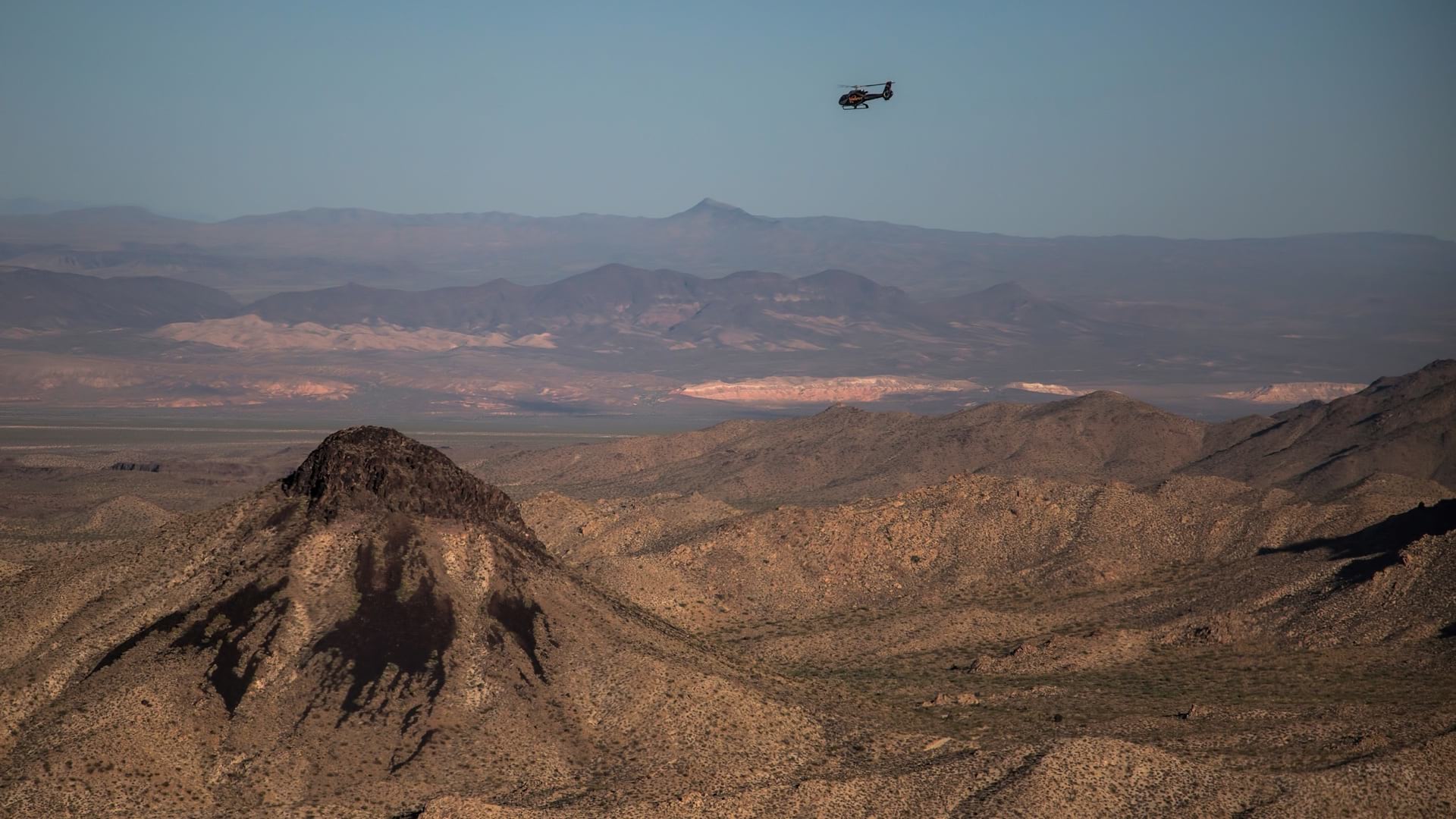
Nevada Department of Wildlife biologists use GIS to piece together a landscape-level understanding of wildlife and ecosystem health.
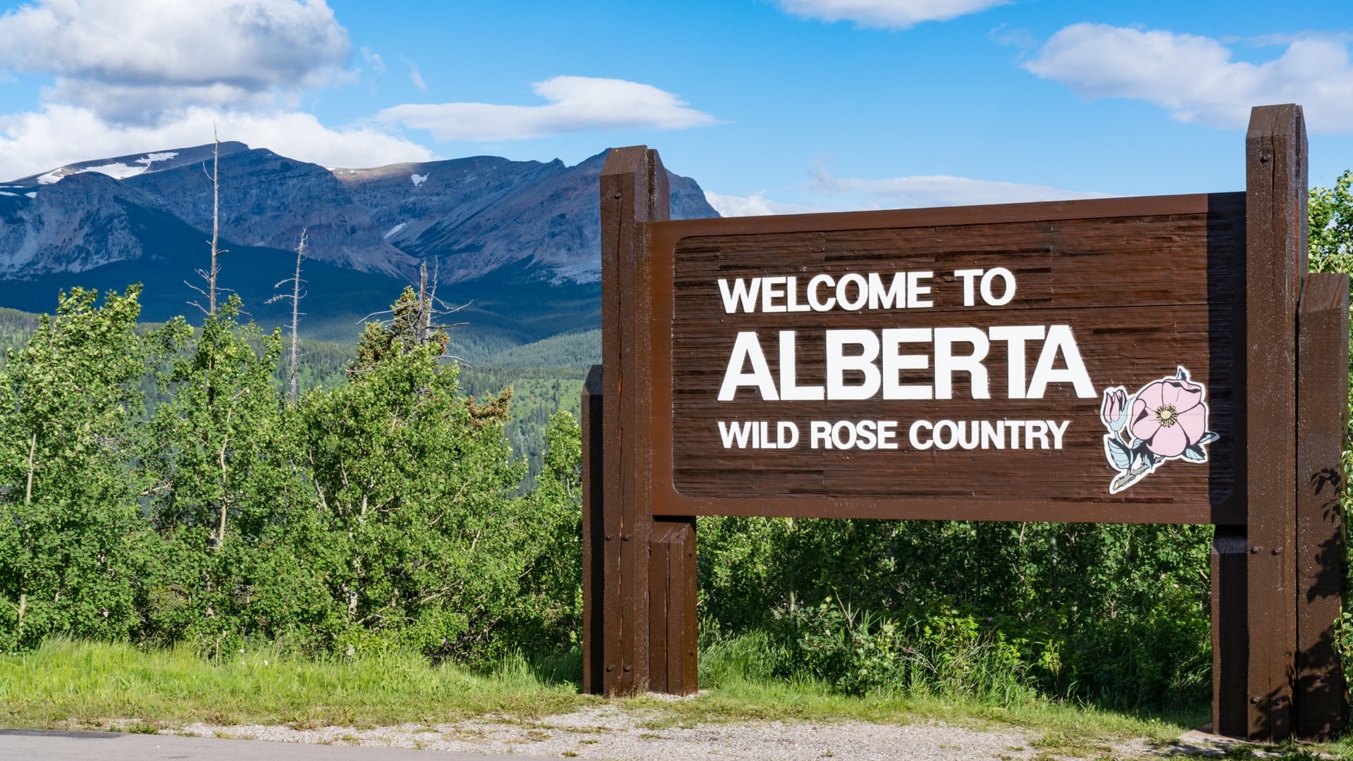
The wall-to-wall biodiversity and human footprint inventory are unique datasets found only at the Alberta Biodiversity Monitoring Institute.
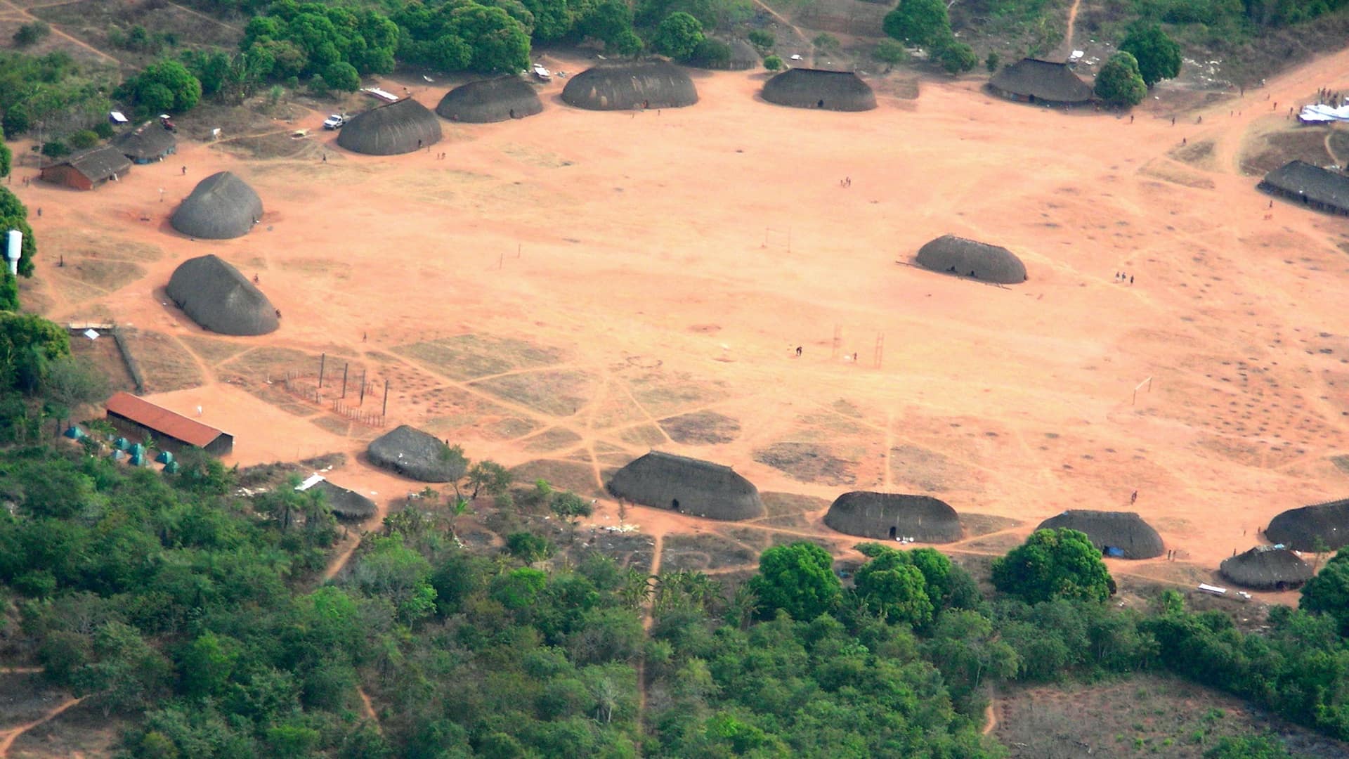
The Kuikuro tribe in Brazil’s Amazon rainforest turn from mapping their ancestors to using the same tools to protect themselves.

Protect Our Winters uses GIS to research the economic impacts of low snow totals, using dollars and cents as a motivator in their outreach.
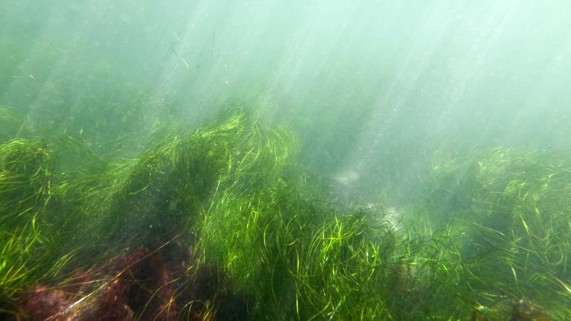
Researchers use GIS to collect data from drones and other means to better understand eelgrass wasting disease.
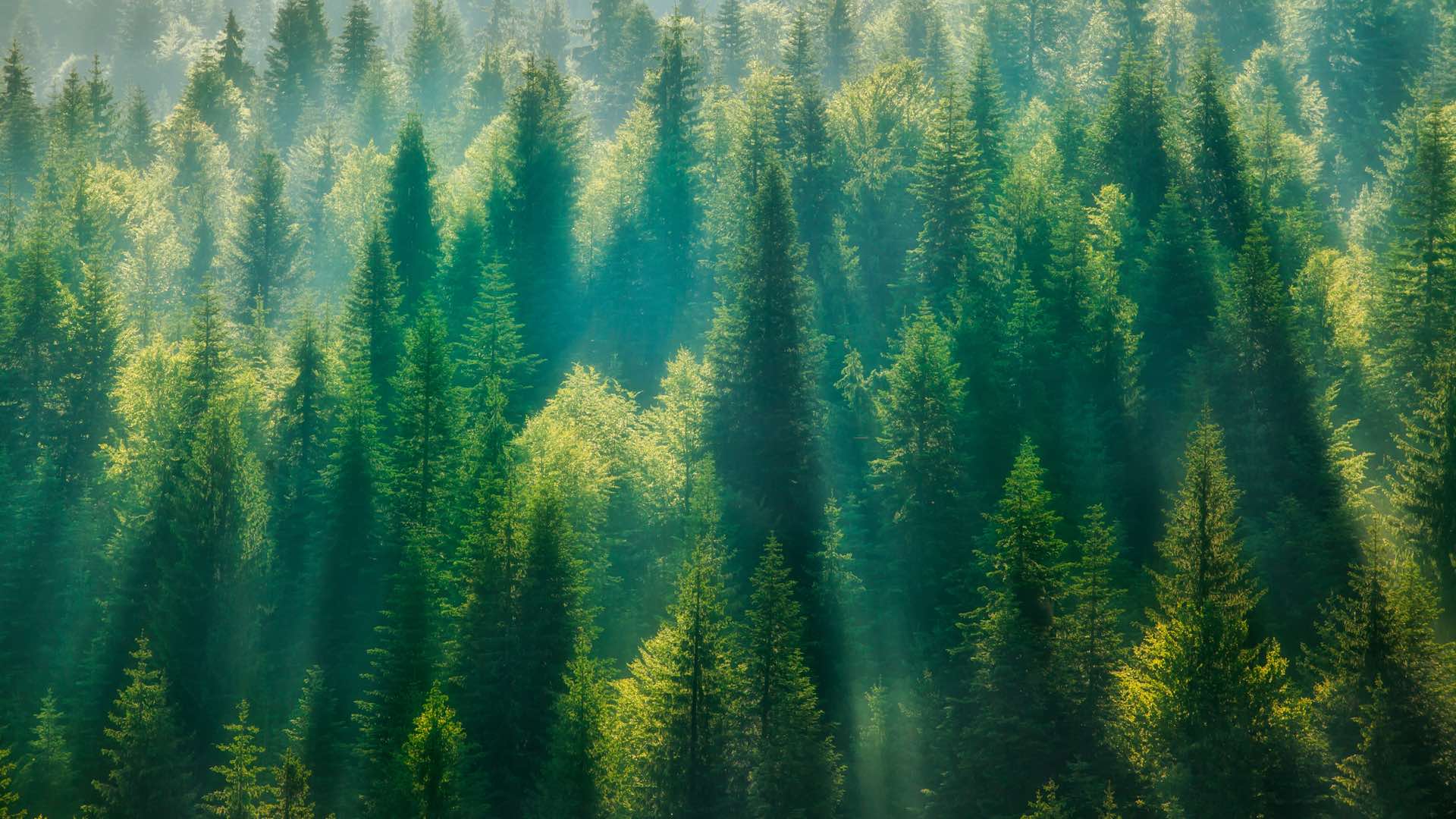
The combination of on-the-ground forest plot data from GIS and satellite data provides a whole new vision of the global forest system.
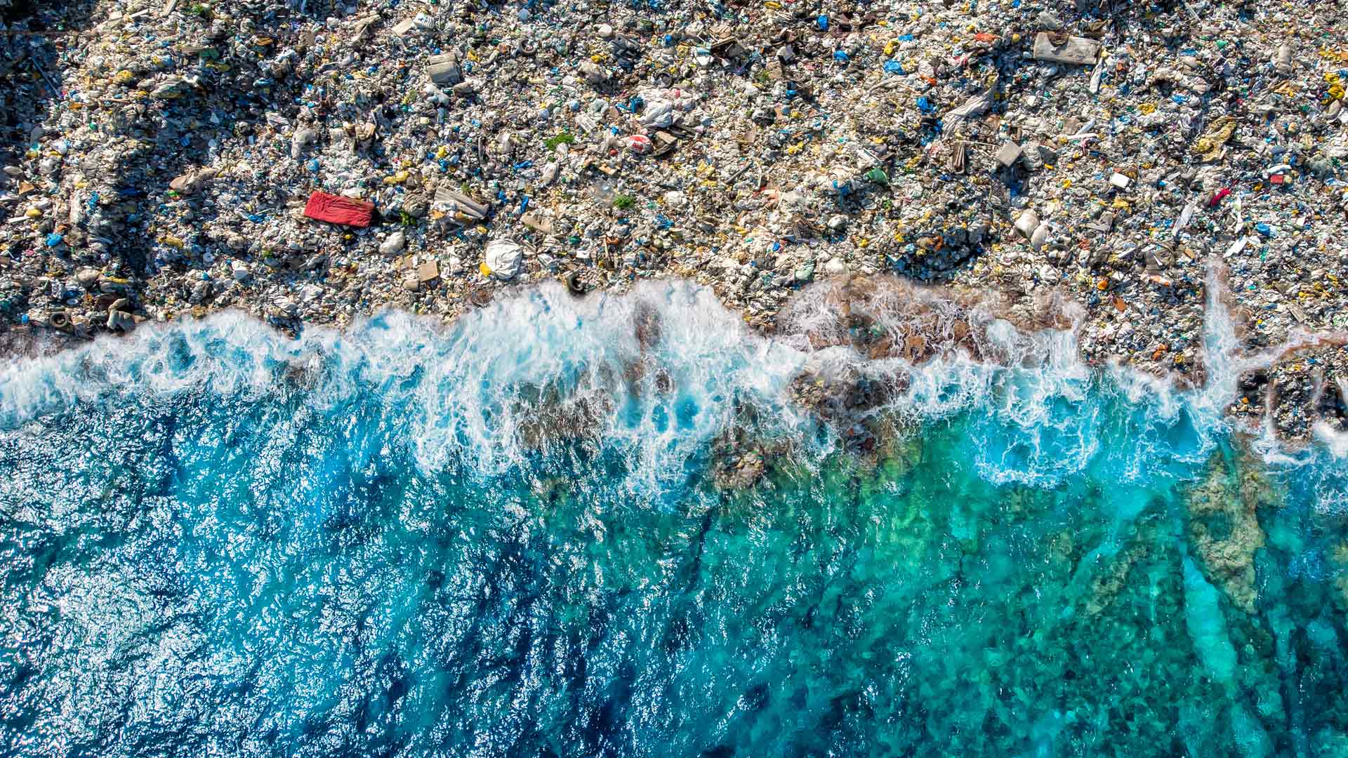
The GIS user community is key to figuring out which beaches around the world are consistently fouled by plastic and how to clean them up.
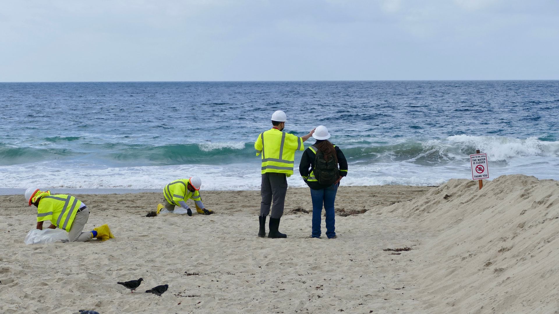
After 25,000 gallons of crude oil spewed into the Pacific Ocean, the Surfrider Foundation leveraged location to streamline data collection.

Scientists know more about the dark side of the moon than they do about Earth’s ocean depths. Seabed 2030 seeks to change that.