displaying 4007 results

A comprehensive ArcGIS Hub site aggregates data on waterways, making it accessible to the public and easier to use for collaboration.
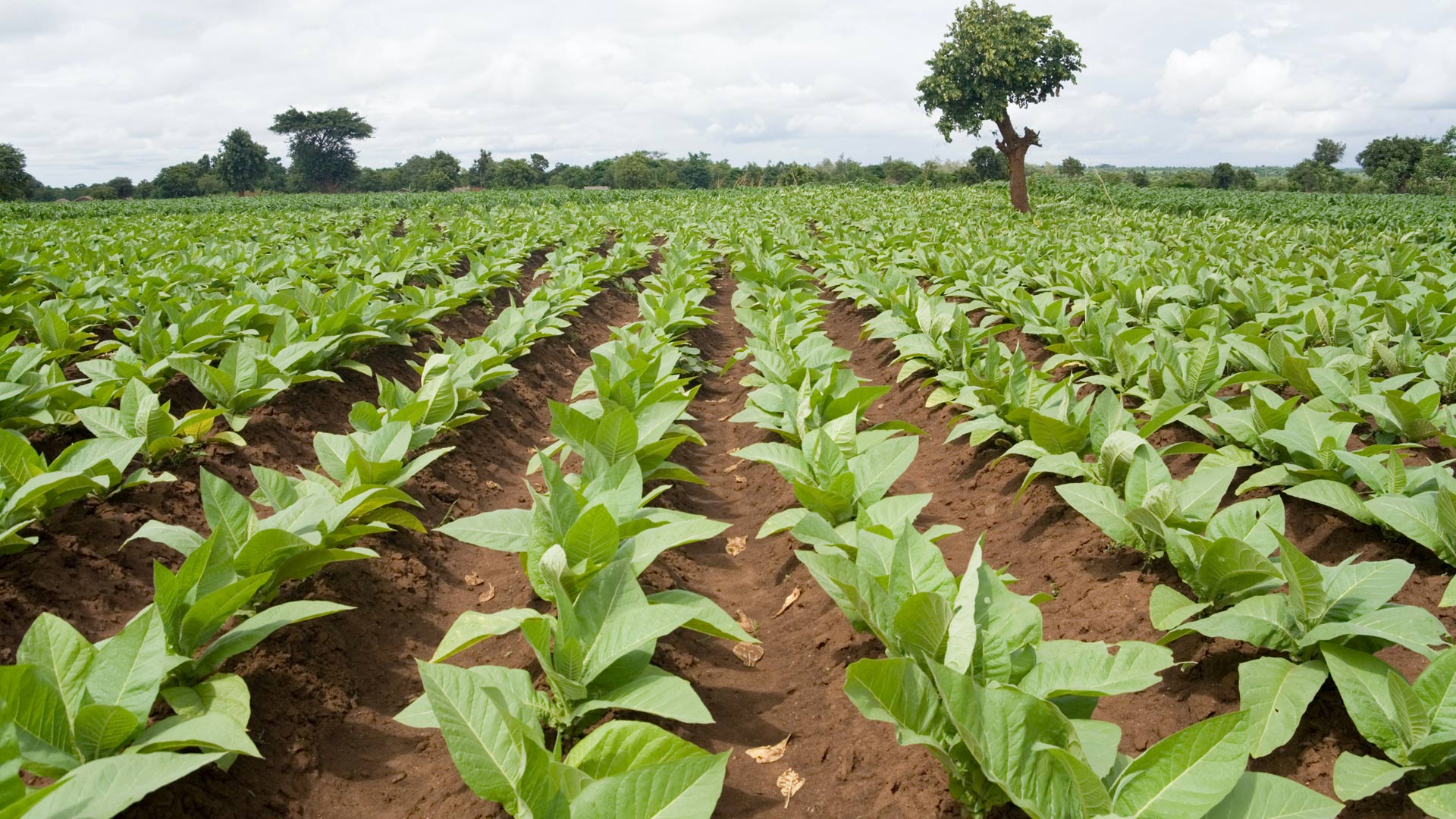
In Malawi, NASA Harvest used ArcGIS Survey123 to collect ground truth data on small farms. The results will help bolster food security.

Water and Sewer Company of Thessaloniki S.A. (EYATH) integrated infrastructure and customer aspects of the business using GIS.

To help save priority North American species and their habitats, an online land-use planning solution got upgraded to an open data website.

Geospatial data allows us to understand our current state, forecast challenges, and identify root causes of climate change.

Residents, students, and businesses now have easy access to public information.
The latest release of ArcGIS is big. Get to know what’s new.

The State of Oregon's GIS data standards development program works because it is rooted in cooperation, given that standards are built.

The Southern California Association of Governments (SCAG) launched an ambitious cross-jurisdictional mapping initiative.
Californians will require comprehensive information about their local and regional health care delivery systems more than ever as a result of…
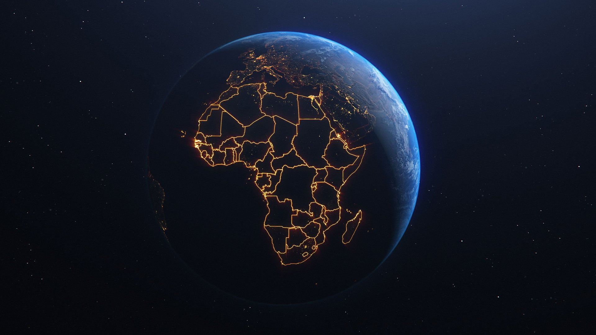
Those who live in or work on topics related to Africa now have a robust, community-based geospatial platform for the whole continent.