displaying 962 results

Differential correction techniques for data collected using global positioning system (GPS) explained.

Utah County, Utah, used ArcGIS Dashboards and ArcGIS QuickCapture to securely manage and track real-time election data.

Location-based surveys and dashboards helped citizens, local agencies, and international organizations work together.
When a power outage occurs, GIS and dashboards can give utility managers up-to-the-minute access to real-time, accurate information...

Atlanta deployed real-time GIS to manage the many public safety demands of the Super Bowl and surrounding events.

Orange County, California, has one of the most innovative local government GIS implementations.

Overwatch Aero employs long-endurance unpiloted aerial systems (UAS) to provide firefighting agencies with live situational awareness.
All local governments need to collect measurements in the field quickly, accurately, and safely.
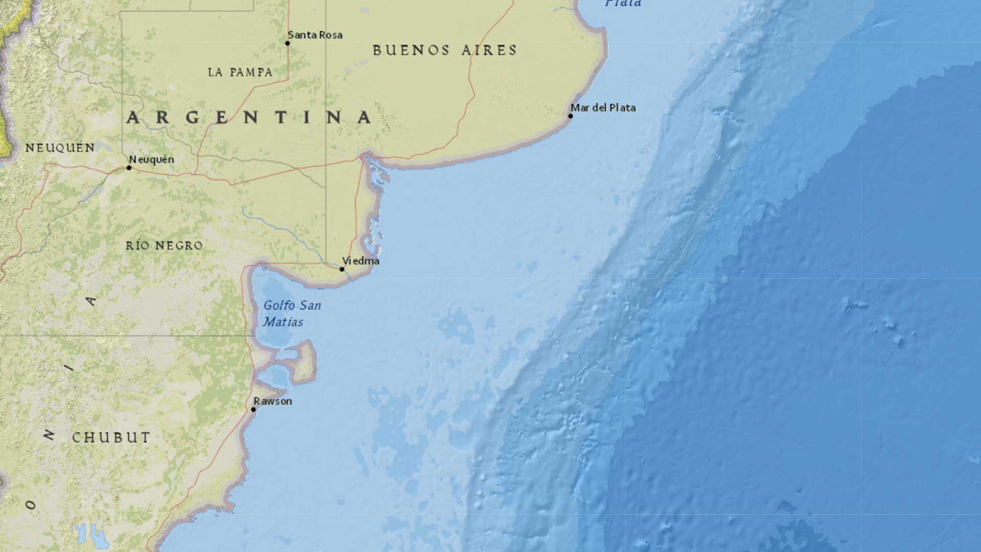
Prefectura Naval Argentina monitors millions of square kilometers of coastline with help from ArcGIS.

During the Ferguson Fire, ArcGIS technology transformed resource advising from a cumbersome process into a near real-time operation.

During the 2015 Boston Marathon, ArcGIS Online provided 500 people from 60 agencies with real-time location information to manage security.
Learn about weather concepts and how to create a map of real-time weather data in this ArcGIS Lesson.