displaying 778 results

In cities where cars are uncommon, being in the right place takes on new dimensions for business executives.
One of the objectives for the Massachusetts Department of Transportation (MassDOT) is to create a cleaner, more efficient, and sustainable...

District Five of the Florida Department of Transportation uses ArcGIS Server log files to monitor and improve GIS usage within the organization.

The Vermont Agency of Transportation (VTrans) adopted a GIS-based mobile data collection system for its rail crossing inspections that cut the...

As the US gets serious about improving its infrastructure, high-speed trains are back in the spotlight, with new implications.

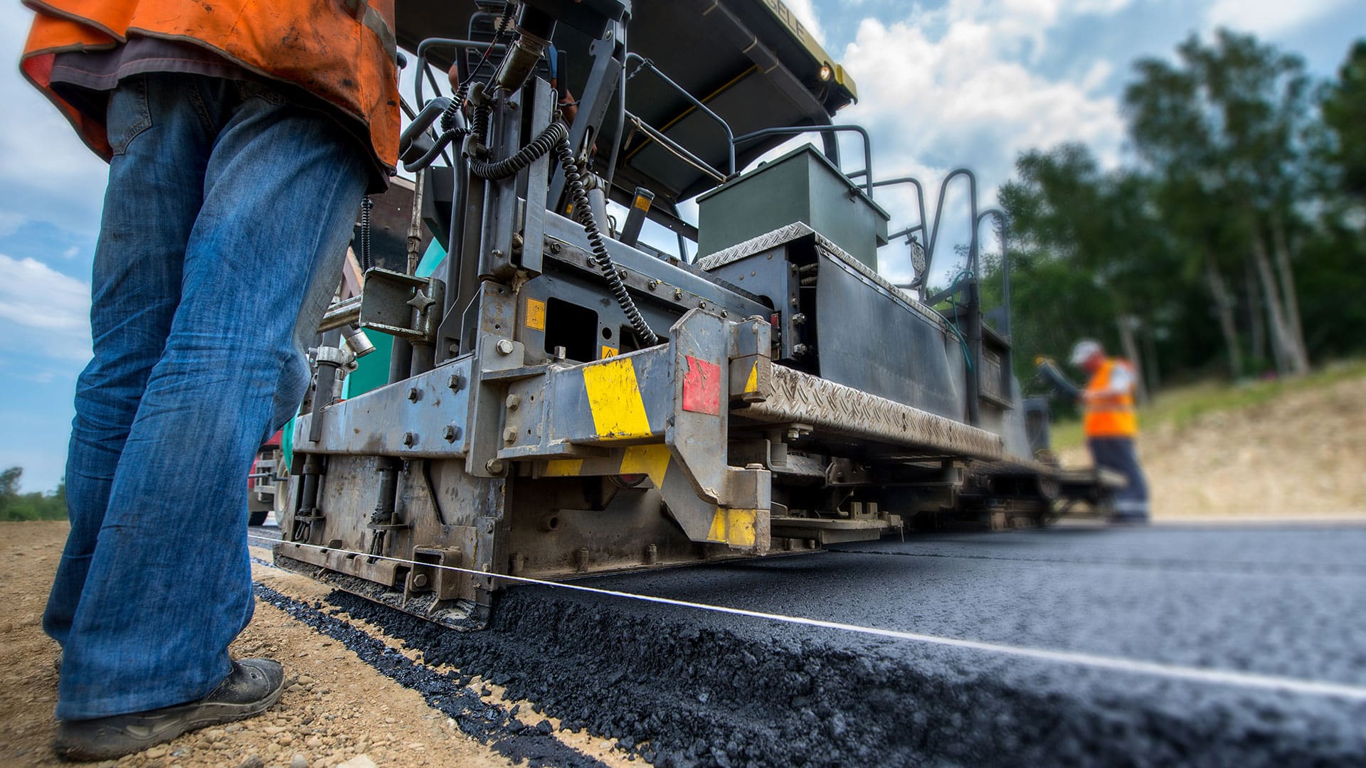
To better identify sections that need maintenance or could become commerce choke points, Esri partner SymGEO implemented ArcGIS Dashboards.

A new bike route map app powered with Esri ArcGIS will take you places in San Diego County.
The City of High Point, North Carolina, received its name due to its once being the highest point on a stretch of the North Carolina Railroad.
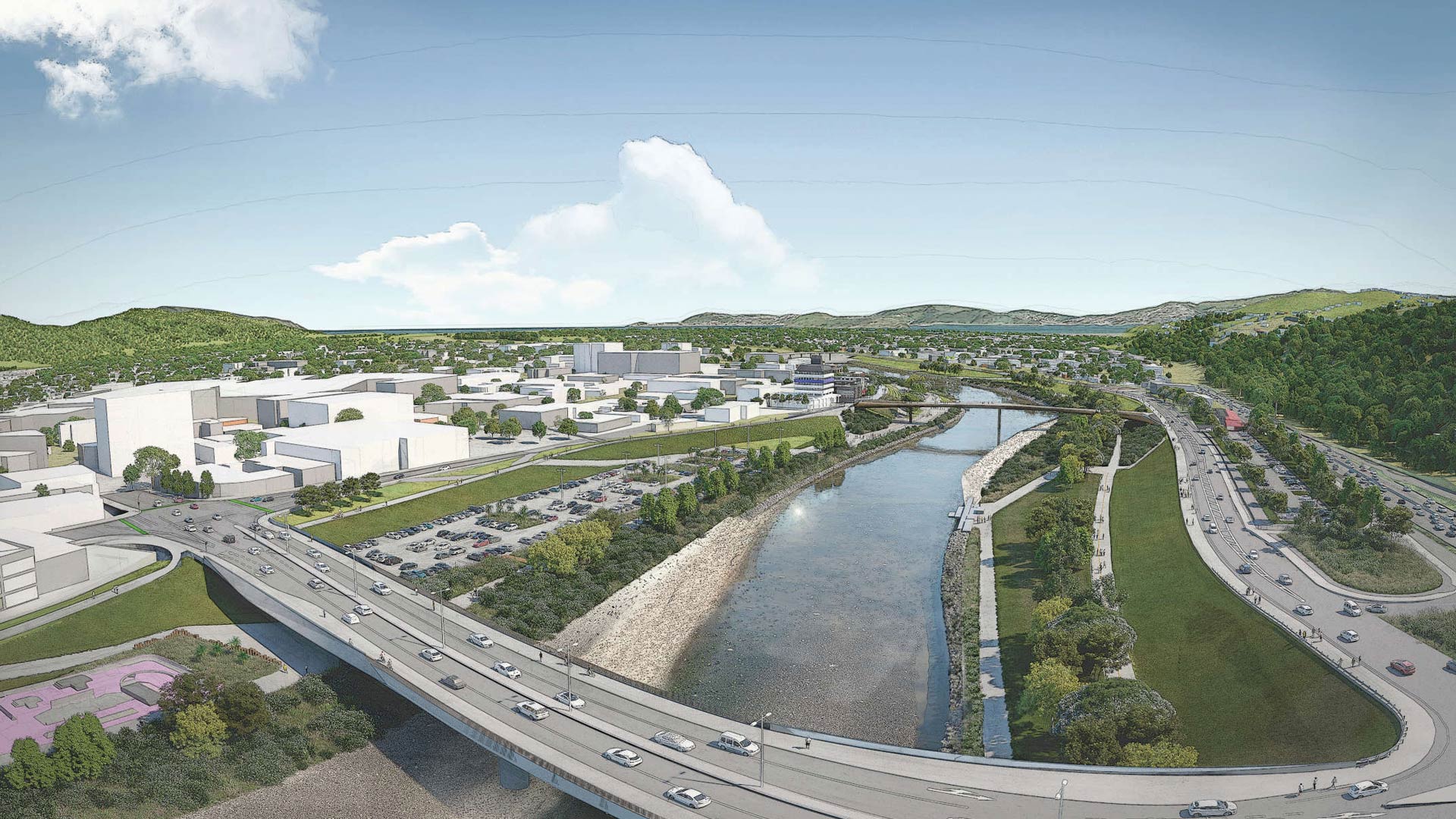
Esri startup partner Reveal helped a New Zealand community with flood protection, transportation upgrades, and urban revitalization.
Maryland Department of Transportation communicates with the public via a website that features details on all active state roadway projects.