The Esri Brief
Get location tech news in your inbox
Trending articles


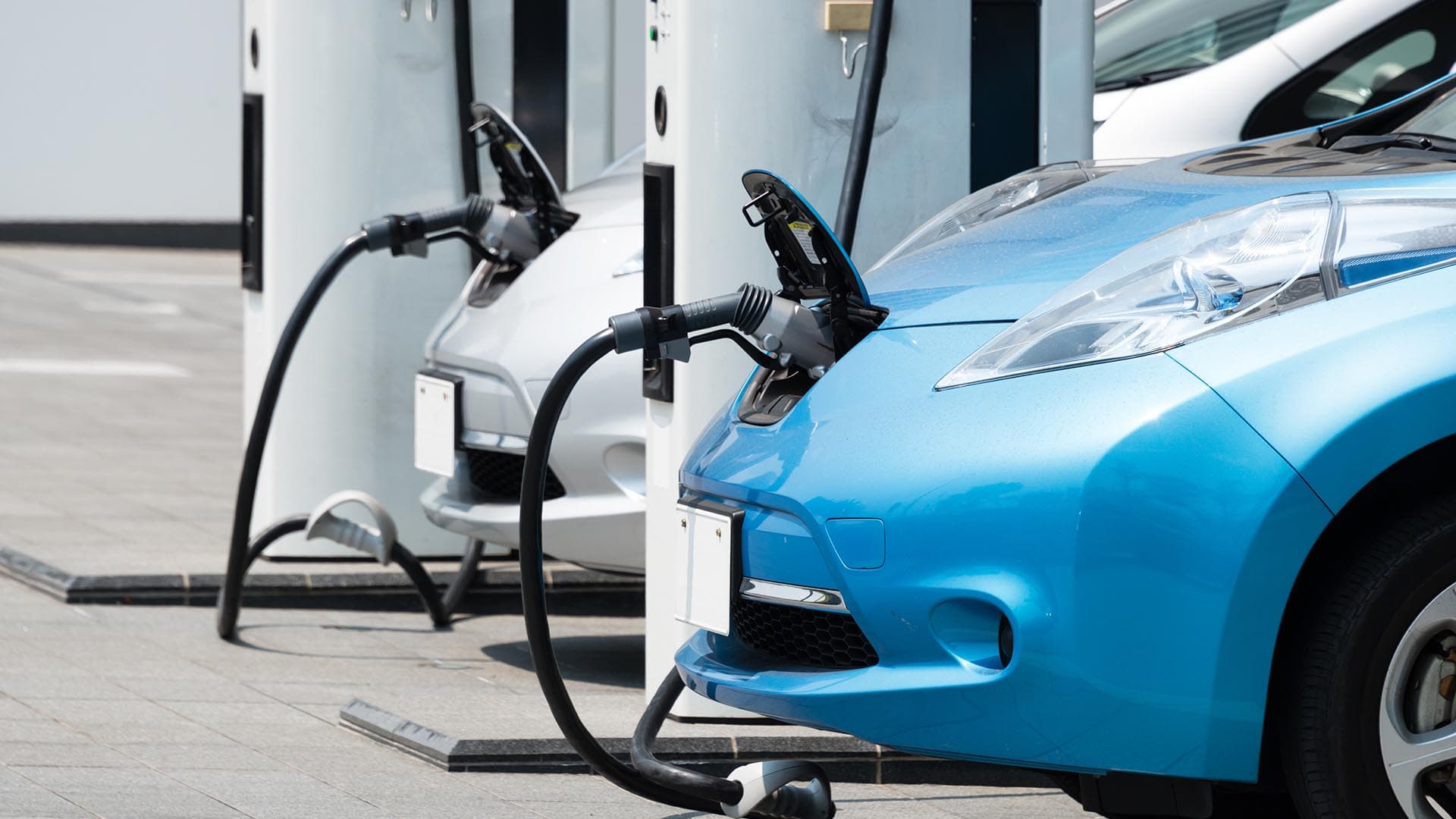
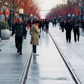
The United States has approximately 2 billion parking spaces to accommodate 250 million vehicles. That was an oversupply even before COVID-19 lockdowns downsized car travel and inspired mayors to open streets to pedestrians. Now those pandemic-inspired changes, combined with a trend toward alternative travel methods, are raising the prospect of carless cities. Business leaders, meanwhile, must rethink how to reach customers.
In urban settings, the country’s auto-centricity feels especially pronounced. Roughly a third of Los Angeles County, or 340 square miles, is taken up by parking lots, streets, and freeways, according to one report. New York City is similarly accommodating of cars. Thirty percent of public space in Manhattan is devoted to roadways and parking lots—even though fewer than half of NYC households own a car.
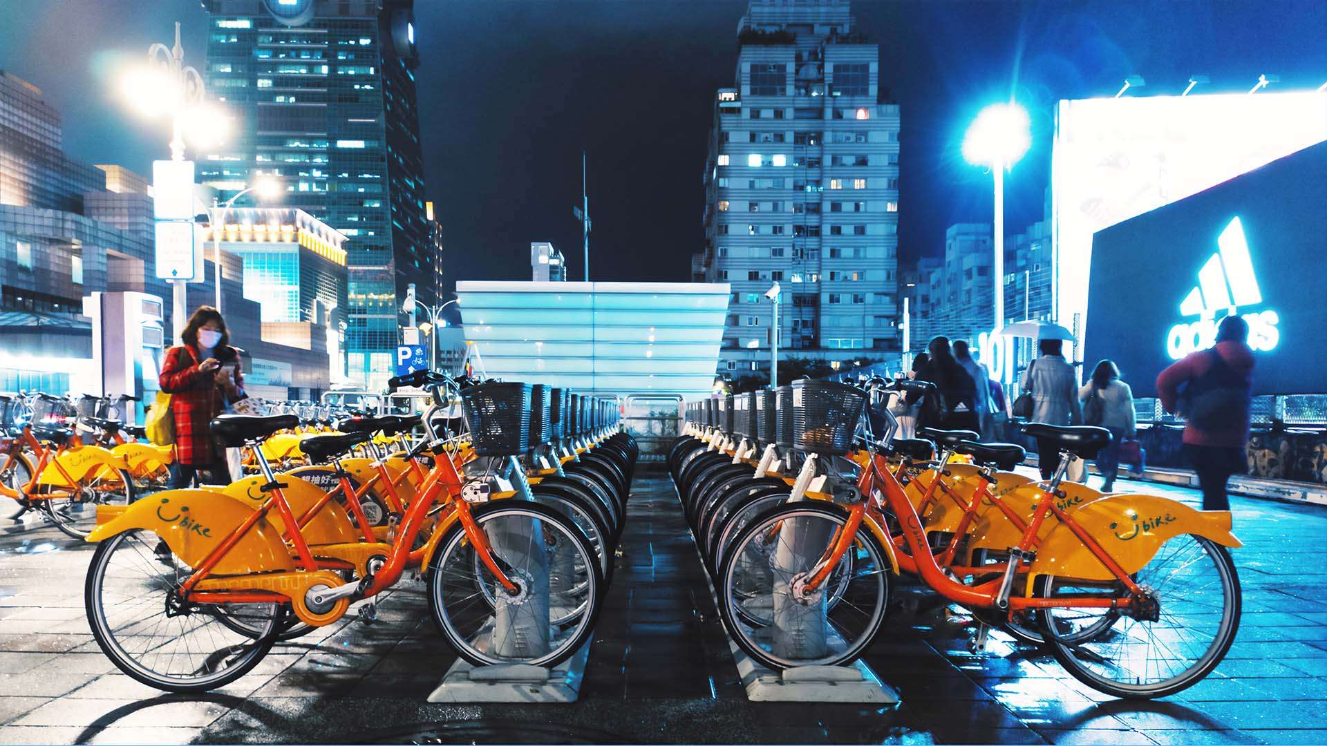
The pandemic-fueled need for social distance has spurred many officials to go carless—banning vehicles from certain streets and ushering in outdoor diners, pedestrians, bicyclists, and other low-impact modes of transportation. Some experts—including proponents of the 15-minute city concept—suggest that cities where cars are treated as guests should be more than a pandemic trend. They envision a future where sidewalks are expanded, bike lanes reign, green spaces abound, and social service offices are set up in areas convenient to pedestrians.
These emerging conditions—along with a decline in personal vehicle ownership—will affect every business in an urban core. Traditional methods of planning a location, including analyzing customer drive times, will remain important, but new metrics like walking distance, daytime foot traffic, and even nearby scooter hubs will complicate matters. It’s a reality that forward-thinking business leaders need to start planning for now.
Cruising to Carless
A carless city is closer than many people may imagine. In 2018, the city of Madrid created a 472-hectare zone free of nearly all vehicles. The prohibition has opened space to pedestrians, bicyclists, and businesses and even improved air quality. An attempt by a more conservative city government to dismantle the program was thwarted after thousands of residents rallied in support of the car-free environment.
Officials in Oslo, Norway, haven’t banned cars from their city center, but they’ve made it less attractive to drive private vehicles by replacing parking spots with bike lanes, outdoor seating, and gardens. Meanwhile, Shenzhen, China, is using sophisticated data analysis to plan a 22-million-square-foot district called Net City that will be home to residences, offices, and green spaces—but no cars.
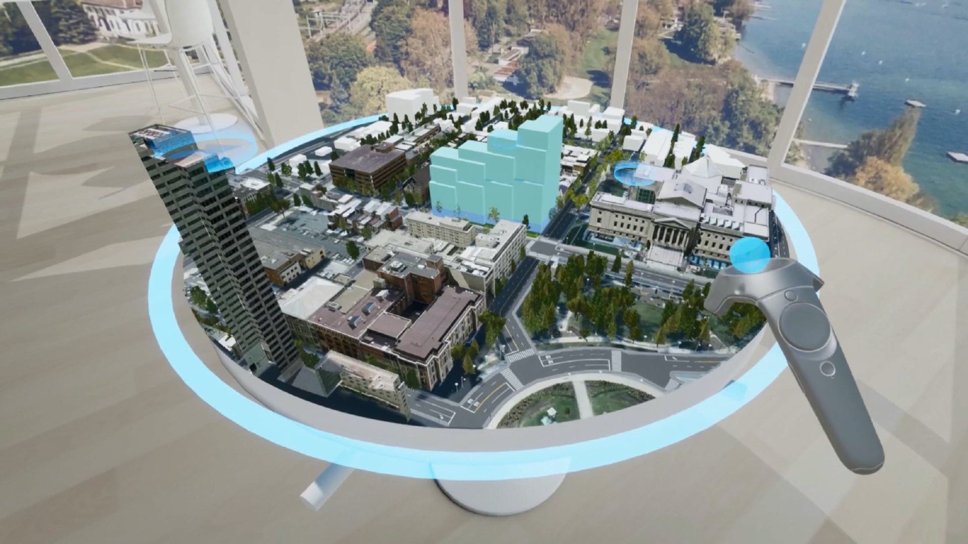
Just as city officials rely on advanced technology and analysis to make intelligent planning decisions, so too will business owners as they adapt to carless cities. Location intelligence indicates where customers are coming from; how far they travel; and available transportation options including roadways, bike lanes, sidewalks, and public transportation.
As cities adopt policies that favor alternative transportation such as bikes and scooters, elevated walkways over busy intersections, and carless roads, location analysts can use GIS technology—the engine of location intelligence—to model the impact of proposed changes.
One likely impact will be that residents and visitors in walkable neighborhoods will need help getting purchases home. To accommodate them, businesses can offer the convenience of home delivery for items bought in store. Industry leaders often address those last-mile delivery challenges with GIS-powered algorithms. [For more, see the section “Managing Customer Expectations in Real Time in this WhereNext article.]
Mindful of those and other characteristics of carless trade areas, business leaders can make informed decisions about the best store locations based on the needs of customers, employees, and vendors. Once a destination is chosen, GIS-powered demographics reveal which amenities would suit the local customer base, including bike racks, storage lockers for belongings traditionally kept in a car, or an on-site gym or day care.
COVID-19, Climate Change, and Social Equity
In Oakland, California, the pandemic helped jump-start a “Flex Streets” initiative, in which the city closes certain streets to traffic and allows companies to conduct open-air business. Paris, Rotterdam, New York, London, and other cities have initiated similar programs.
COVID-19 quarantines have also highlighted just how unhealthy cars are on city residents. It’s estimated that one plan for a private-car-free New York City could reduce air pollution in Manhattan by half. Given that a climate emergency has been declared by 1,788 jurisdictions in 31 countries, including Boston, Chicago, San Diego, and Miami in the US, scrutiny of vehicle pollution will likely grow.
Reduced dependence on private cars could also create space for more equitable, inclusive, and accessible modes of transportation, including dedicated bus lanes that quickly and affordably move people through cities without contributing to gridlock.
Pedestrian-friendly initiatives, and the fact that there are fewer cars on the road, may prompt consumers to advocate for alternatives to auto-dominated spaces.
Thinking in Terms of Micromobility
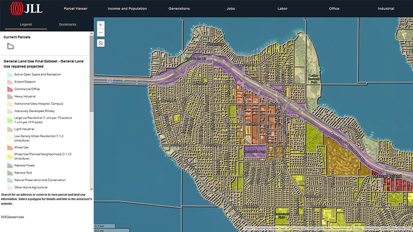
As cities and mobility trends evolve, location intelligence can help business leaders perform what-if scenarios on proposed business locations. For instance, GIS-based maps showing daily foot traffic—gathered anonymously from cell phones—reveal how patterns of mobility are shifting in certain communities and which locations are becoming more or less popular with certain demographics.
Businesses will also have to think about how a carless city may affect employees. Is a store or office situated close enough to public transportation options? Does it make sense to shorten the workday or allow flex hours to accommodate employees commuting via alternative transportation?
Data-driven analysis will help business owners address these and other important concerns as the complexion of cities comes of age in a new reality.