displaying 1009 results

Learn how to manage GIS data with confidence, ensure efficient multiuser workflows, and gain support for GIS initiatives.

With ArcGIS technology, the National Museum of the United States Army created a searchable app to display and highlight donors’ artifacts.

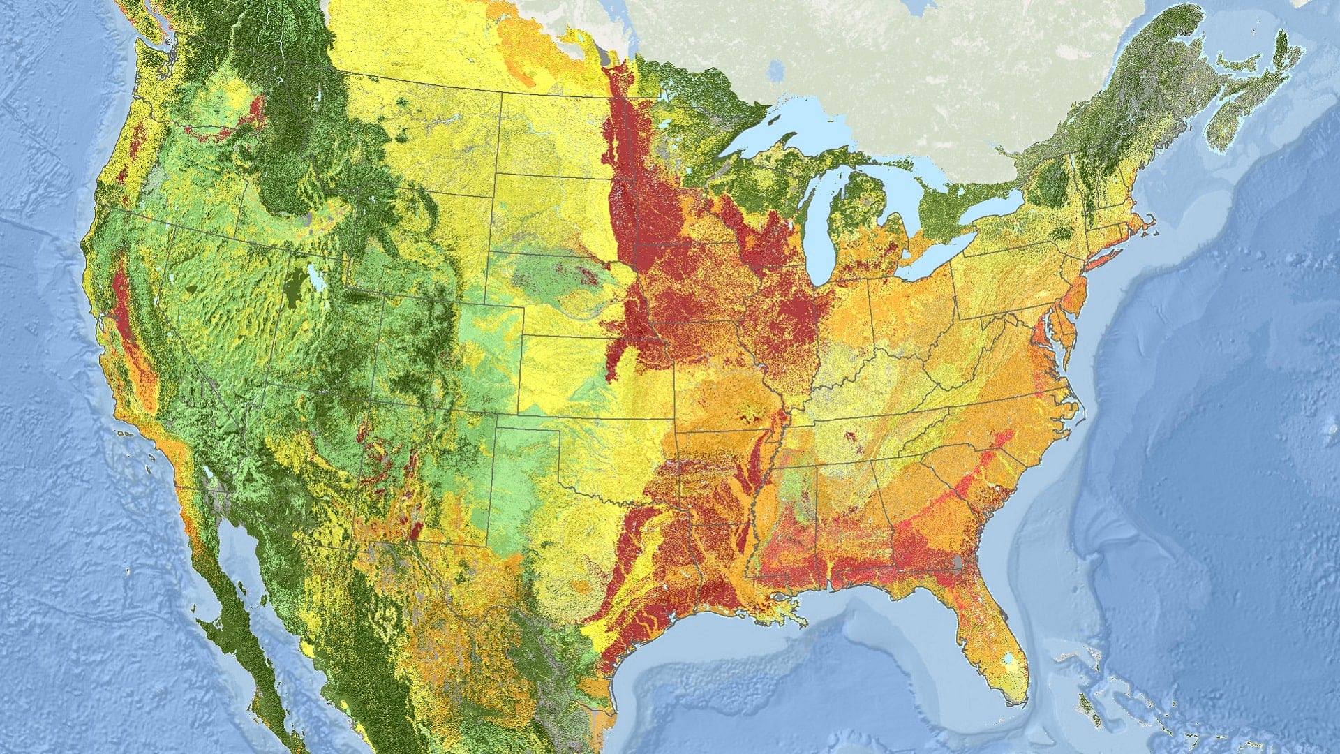
A GIS-based system for conducting site suitability assessments is helping Indonesia determine the best locations for solar plants.
Using ArcGIS technology, NatureServe has applied a new standard for monitoring ecosystems at risk of collapse across North America.

For a team of archaeologists, GIS offers an effective way to collect data and quickly disseminate project findings in compelling formats.
When presenting data to various groups, it may be a good idea to make different apps for different people. ArcGIS App Builders can help.
A GIS-based system for conducting site suitability assessments is helping Indonesia determine the optimum locations for solar plants.

ArcGIS Living Atlas of the World is a collection of curated content you can use to populate a custom basemap gallery. Here's how.

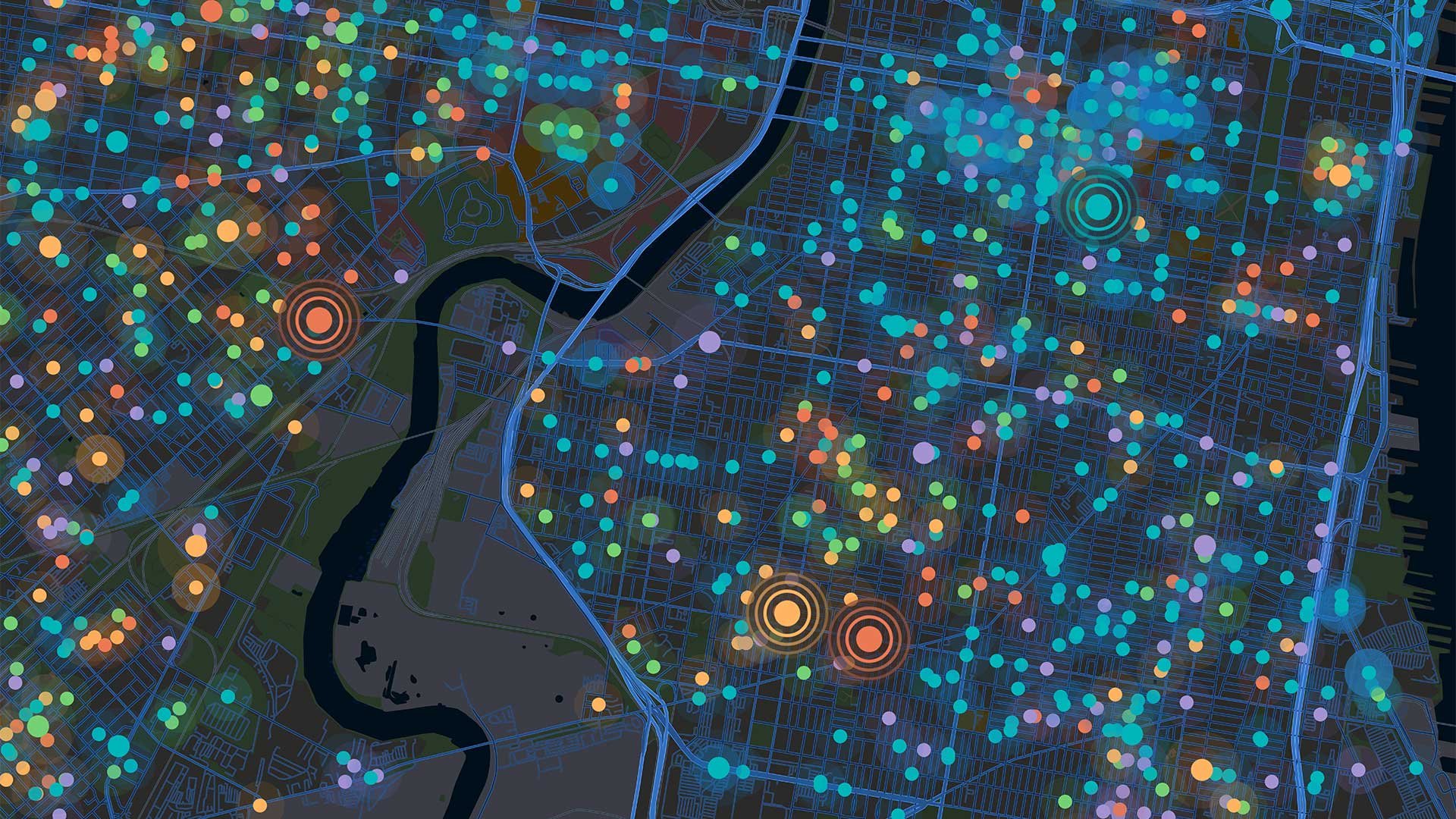
Tasked with helping police locate hot spots for traffic stops and collisions, David Ho used ArcGIS Experience Builder to visualize the data.

The GIS user community is key to figuring out which beaches around the world are consistently fouled by plastic and how to clean them up.

Government agency Infrabel developed two GIS-based apps that track train and worker movements—in some cases, down to the subfoot level.

Esri’s chief scientist became the first person of African descent to dive to Challenger Deep, where she surveyed its Western Pool.