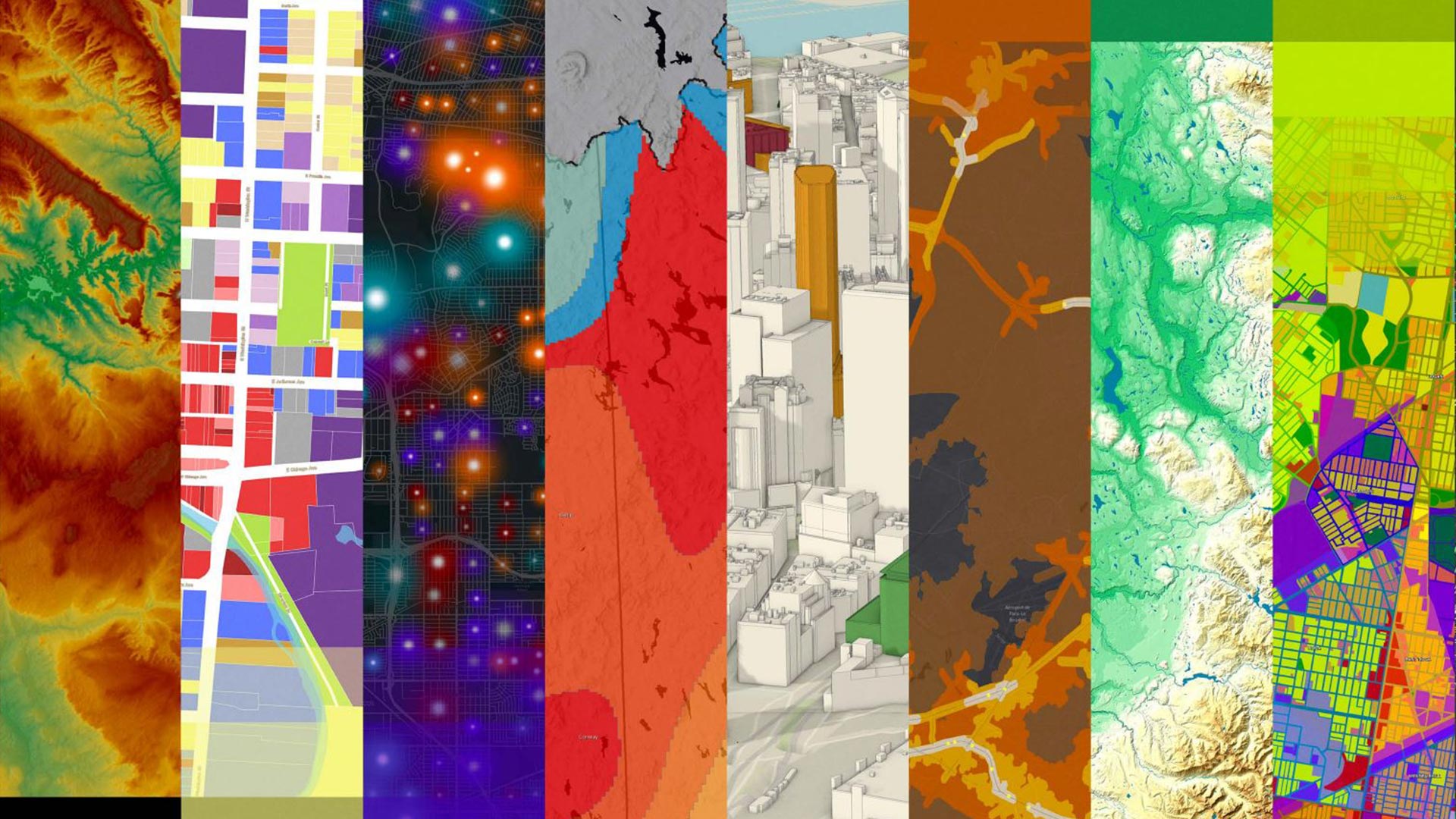
displaying 1006 results

Organizations around the world are using GIS to build new housing, improve roads, and fix water supply issues—with help from Esri partners.

Esri has many interactive web app builders that users can choose from. But first, app creators should consider four important questions.

Residents of Emerald Isle now have a real-time view of where yard debris trucks are at any given time, improving government transparency.

Broadcast news and notices to your organization's members and visitors via information banners and access notices.
Our list of 99 ideas for how to celebrate GIS Day will kick start your creative juices.

Explorers and leaders met online with Esri president Jack Dangermond to talk about how they are advocating for and creating a sustainable future.

Residents of Emerald Isle, North Carolina, use a GIS web app to find out when trucks collecting yard debris are in their neighborhood.
By making three significant enhancements to its policies and technology, Esri aims to get more people to use these high-priority datasets.

GIS is advancing quickly, benefiting software developers in many ways. That was made evident at the 2021 Esri Developer Summit.

Esri Press has nine new books that cover everything from conservation strategies to GIS for health professionals.
The release of ArcGIS Enterprise on Kubernetes was just one of several noteworthy announcements at the 2021 Esri Developer Summit.
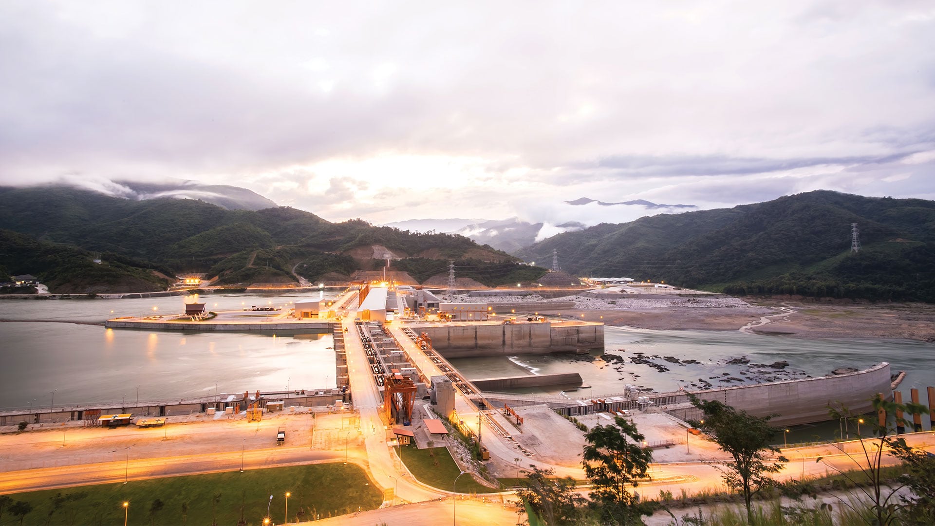
Scientists at the Stimson Center monitor the impact of hydroelectric power projects on the Mekong River in Asia.