displaying 1363 results

2022 marked the return of an in-person Esri User Conference, and presenters made a big comeback by demonstrating powerful uses of GIS.
Group on Earth Observations (GEO), Esri, and many other organizations and nations work together to reduce disaster risks worldwide.

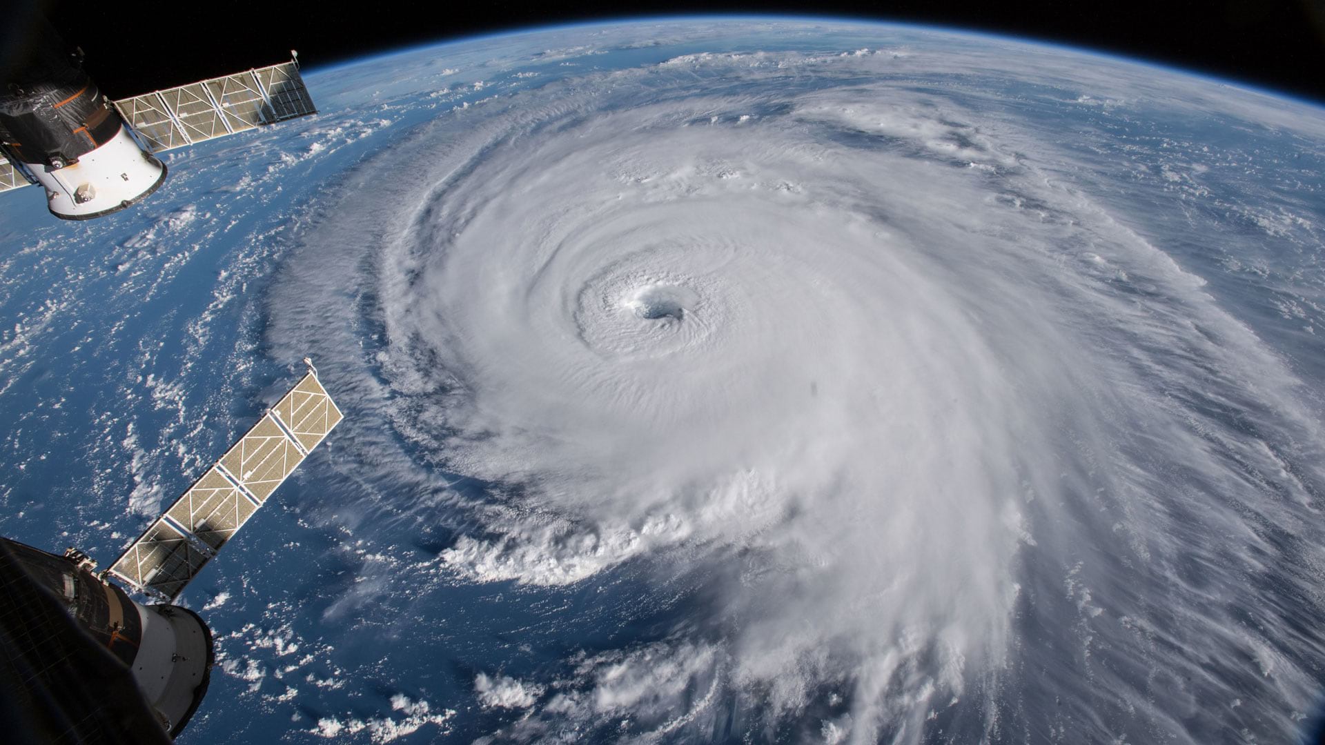
One way to cope with climate change on a global scale is by continuous, near real-time mapping and monitoring of the face of the Earth.

Even with many canceled events being rescheduled in 2020, the Esri science team still virtually contributed to scientific ideas and research.
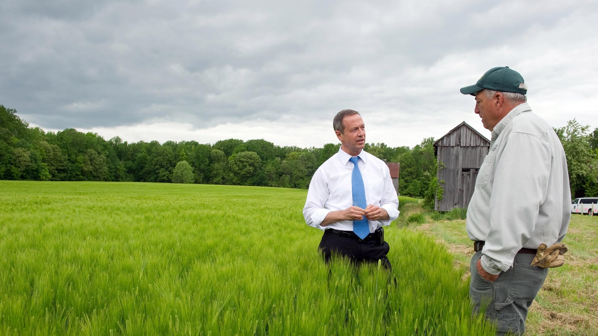
In his new book Smarter Government, former Maryland governor Martin O'Malley explains the role of GIS in good governance.
Technology Provides the Tools

Caving experts from around the world and more than 10,000 Thai volunteers came together using maps to conduct an awe-inspiring rescue.
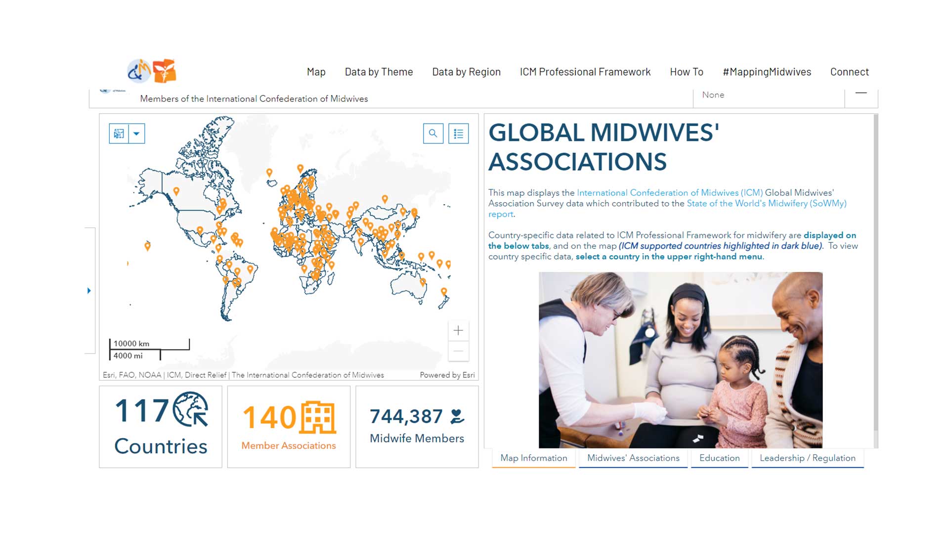
GISCorps volunteers aids Direct Relief to create a data sharing site for the International Confederation of Midwives.
A new book from Esri Press illustrates how a geographic approach can help solve “wicked” problems because of their complexity.
ArcGIS is at a turning point. It is becoming the platform for the organization.
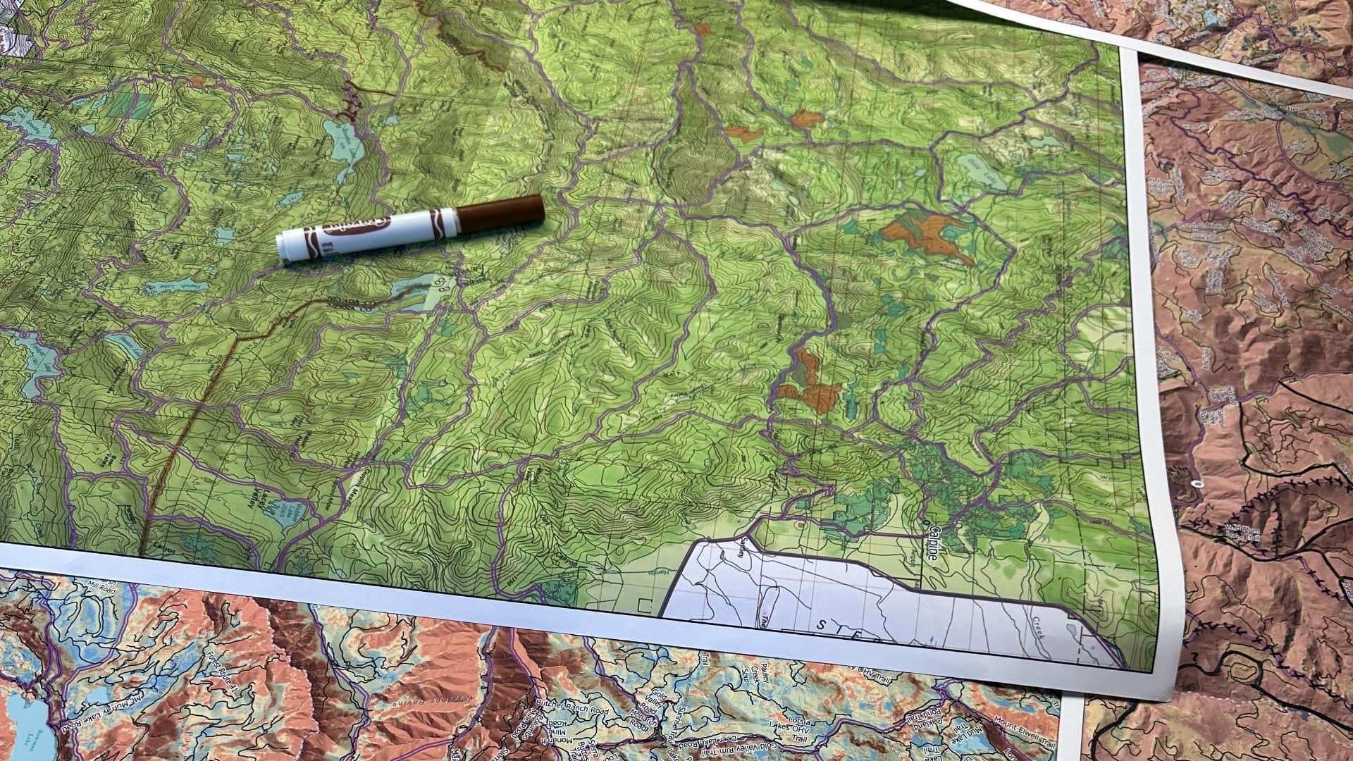
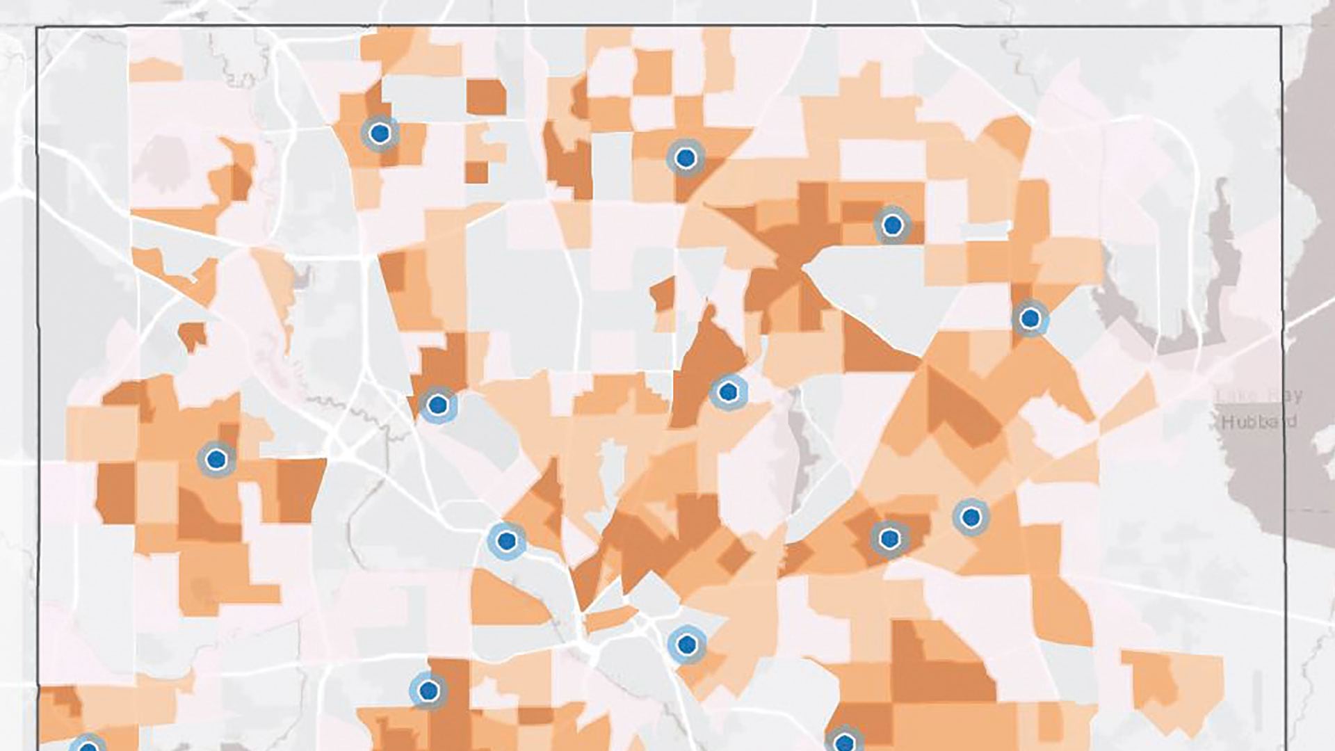
Map-based planning helps firefighters be more strategic about wildfire engagements, leading to better outcomes.

Armed with the understanding that trees and shade improve health, Los Angeles works with partners to plant new trees equitably.