displaying 992 results
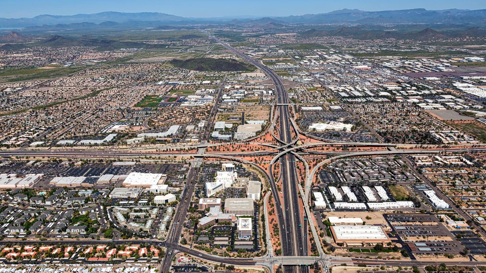
The Ten Across initiative promotes resilience and adaptation along the US Interstate 10 corridor using maps to focus on common challenges.

One way to cope with climate change on a global scale is by continuous, near real-time mapping and monitoring of the face of the Earth.

"Geodesign is both an ancient idea and a new idea supported by new and advancing technology," said Esri president Jack Dangermond, as he welcomed
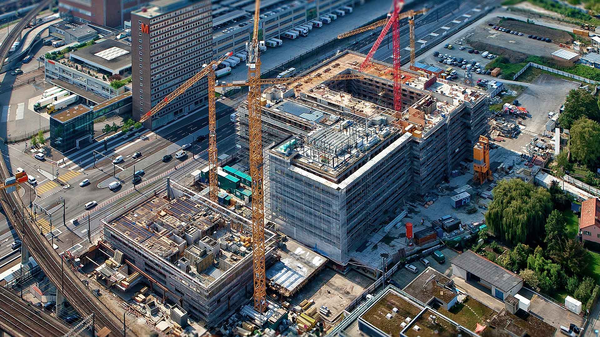
As one of the largest waste producers in the US, the construction industry can improve its sustainability with innovative new technology.
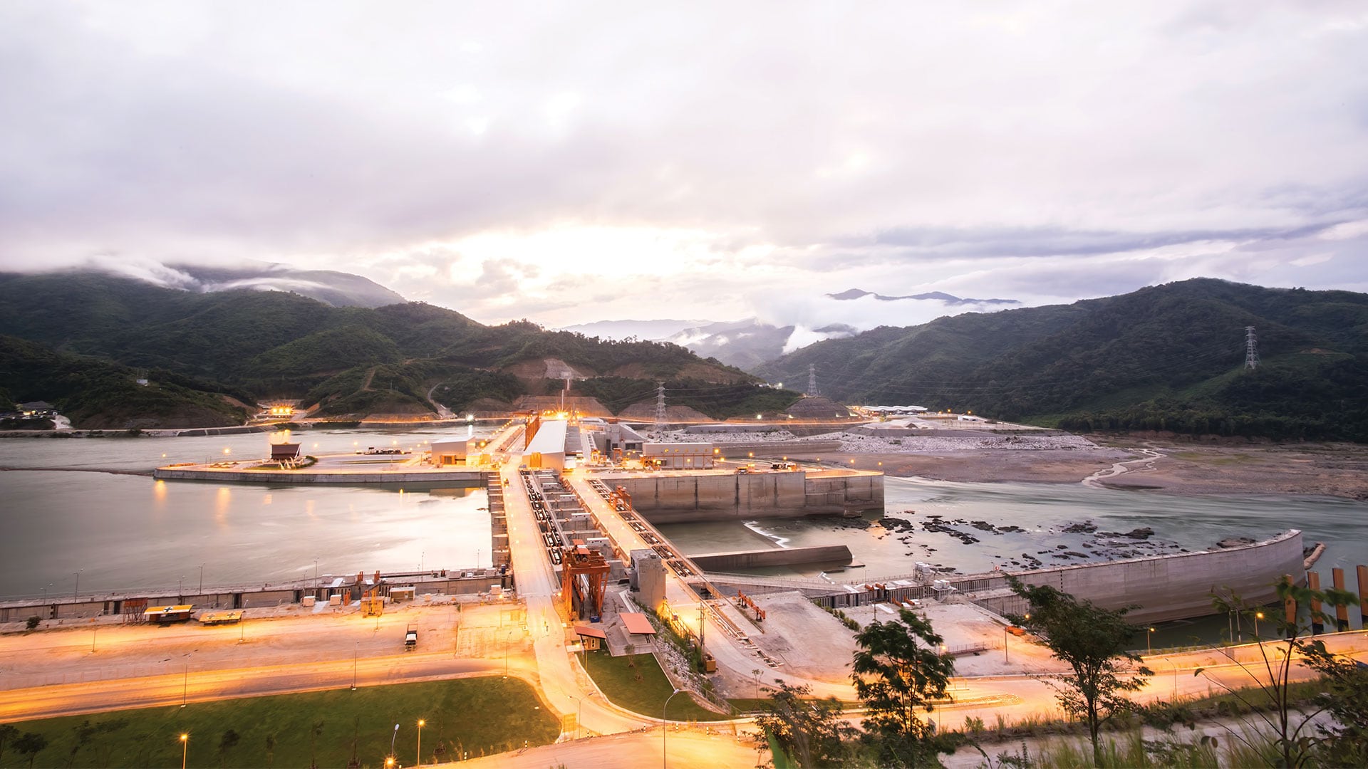
Scientists at the Stimson Center monitor the impact of hydroelectric power projects on the Mekong River in Asia.
The European Union (EU) requires that fisheries be sustainable and not jeopardize fish stocks for future generations.
geographic approach is guiding natural resource executives through a major global conflict and a seismic transition to clean energy.
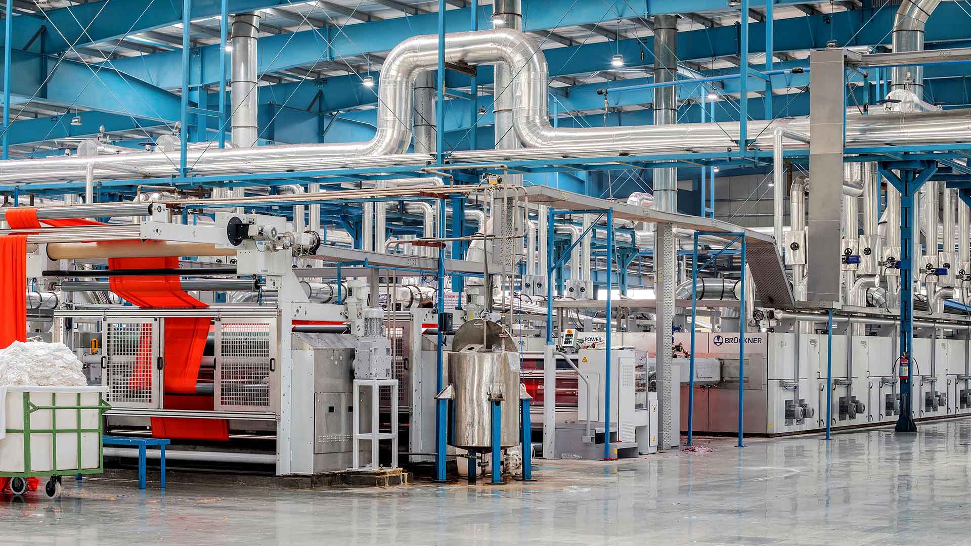
A new survey of manufacturing executives highlights the geographic dynamics that complicate global trends on sustainability and data analysis.

An inside look at BP's digital transformation, with lessons on successfully deploying enterprise software.
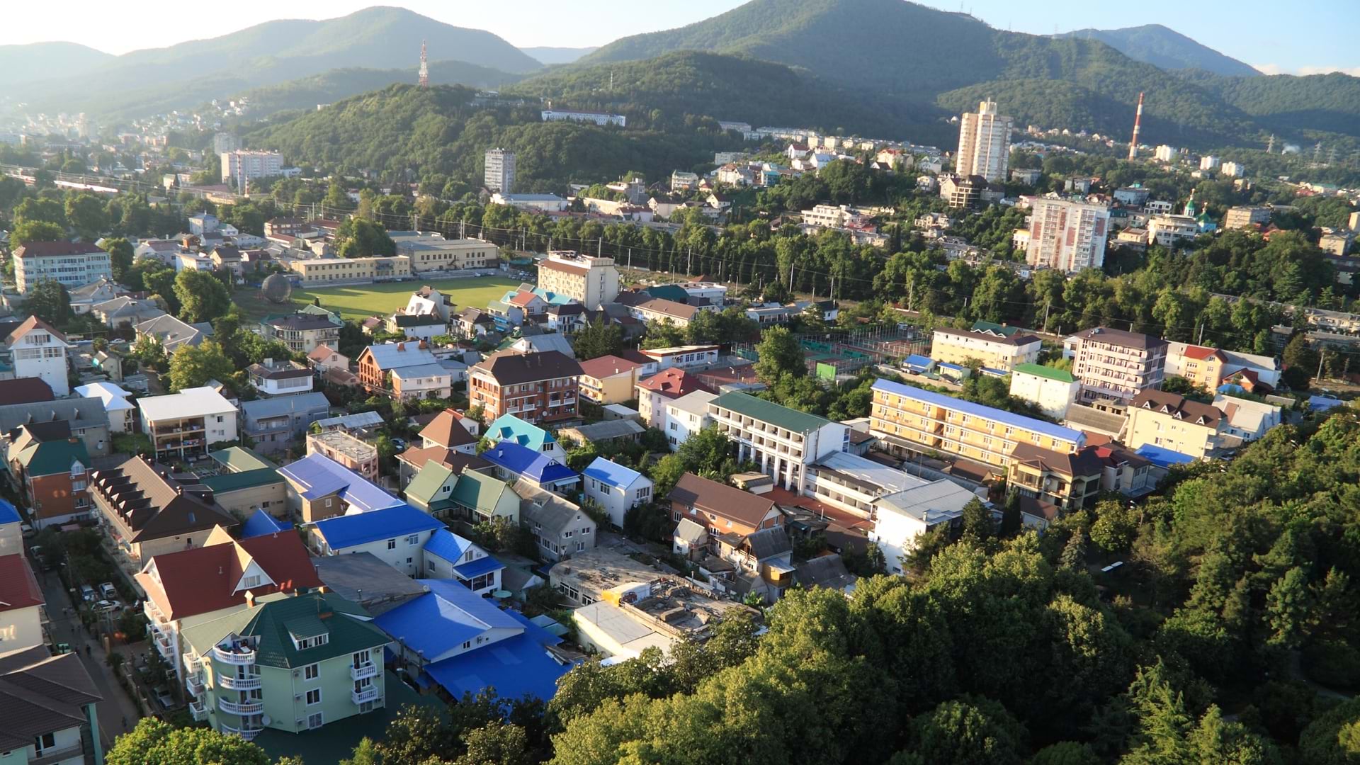
GIS and facility mapping provide powerful insights into how we use, manage, and design our built environment.
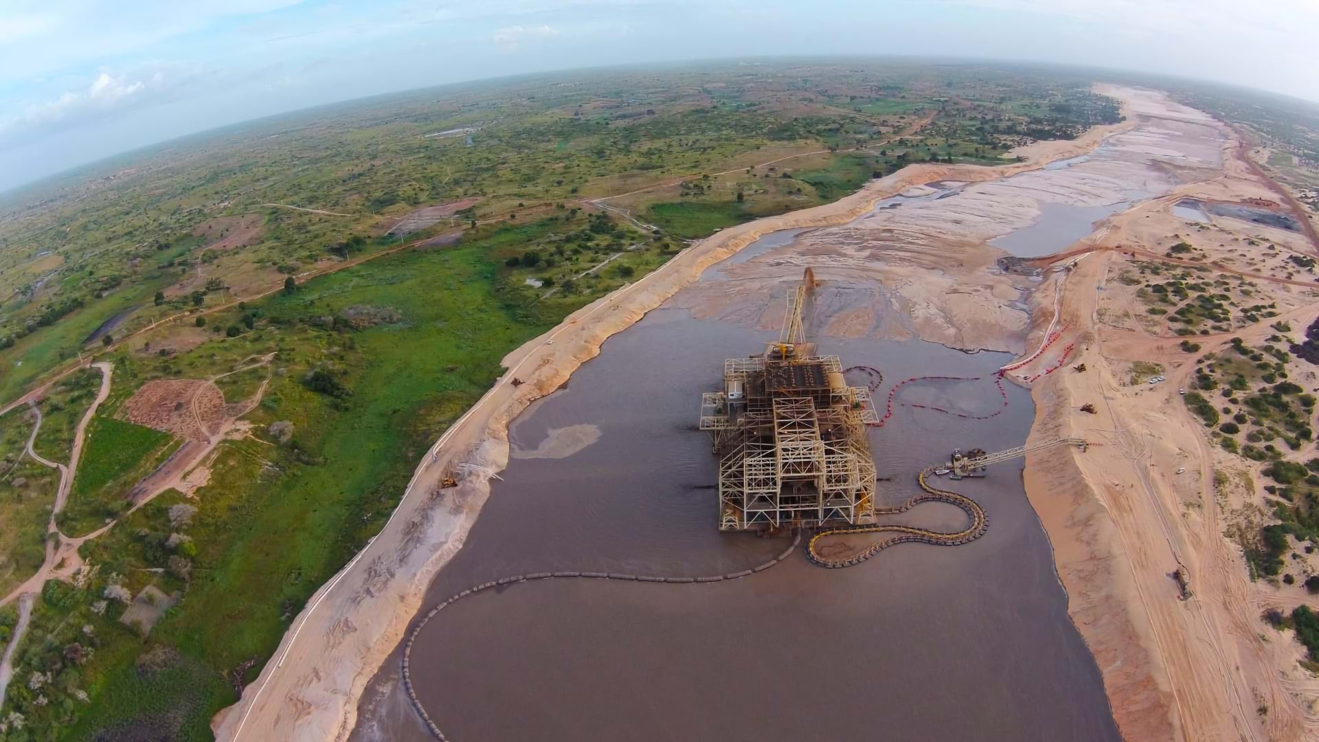
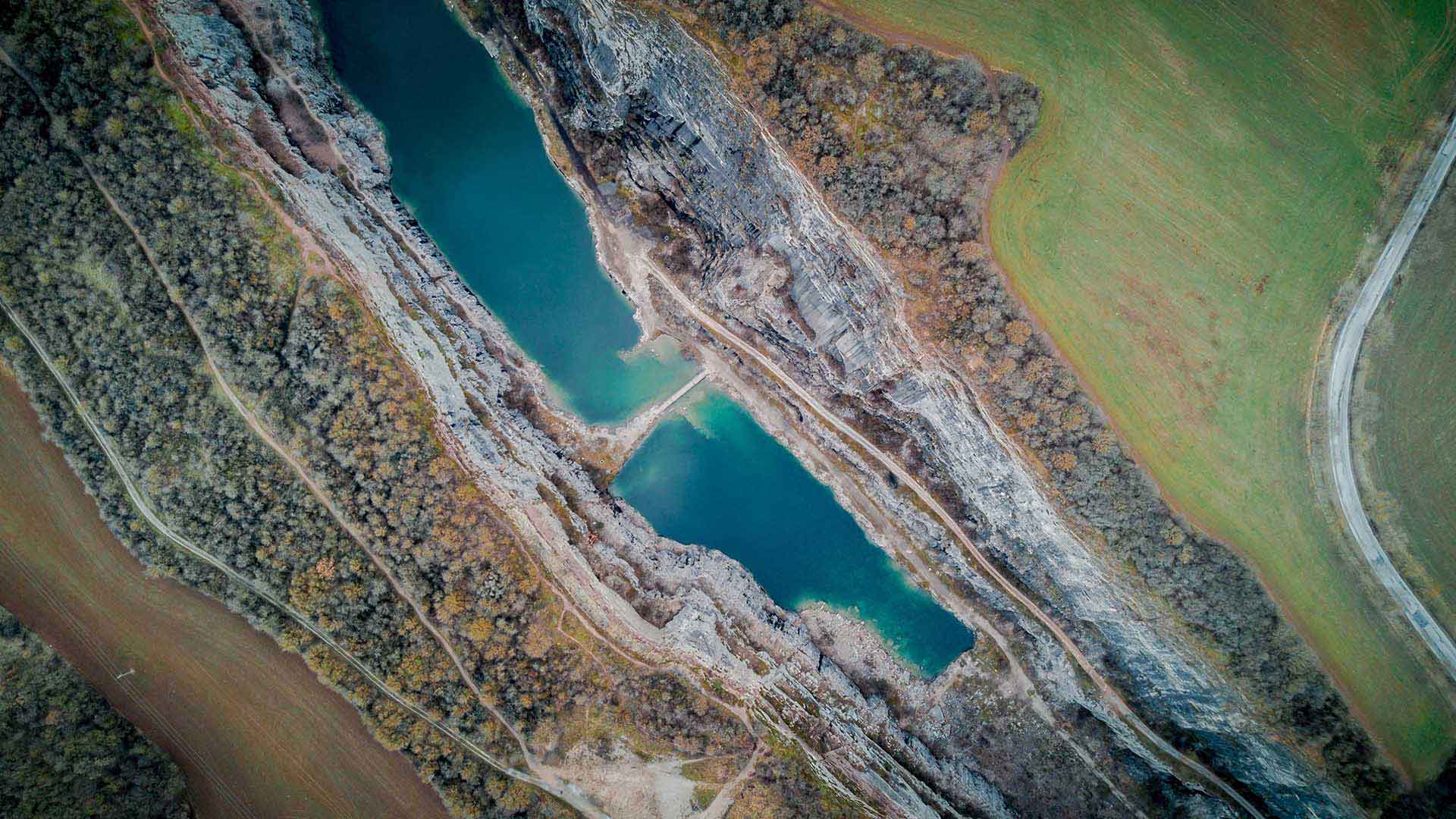
Eramet has embraced GIS as an enterprise tool to monitor environmental impacts and achieve EU-level regulatory compliance worldwide.