displaying 1377 results

As former senator and bill sponsor Orrin Hatch writes, the new law will increase collaboration and improve oversight.
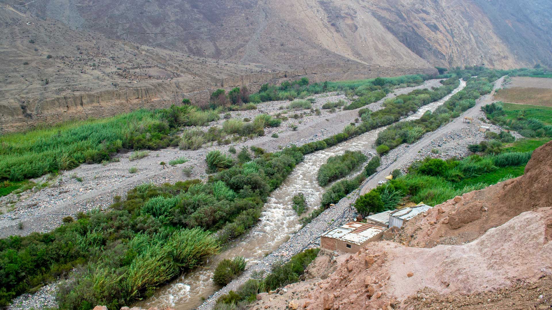
GIS-based 3D models are helping the Peruvian government rebuild public infrastructure after widespread flooding and plan for the future.

See how four Esri partners helped several organizations improve operations, update planning procedures, and streamline data management.

Find out when to choose one over the other—or when it adds value to employ the two products together.

Esri Press has eight new books that cover everything from Python scripting to introducing children to the GIS profession.
The latest release of ArcGIS is big. Get to know what’s new.

Military bases lacked standard addresses, so the US Navy mapped out all the streets on naval bases and gave military buildings E911-compliant.
Our world is experiencing a unique confluence of issues, innovations, and opportunities that is encouraging a hospitable academic atmosphere…
Online education programs like Penn State University's Master of Professional Studies in Geodesign gives busy working professionals...
Maps that will be used to help fight disease, lift people out of poverty, and provide humanitarian aid after natural disasters...

The Esri UC urged attendees to consider not only what’s next in GIS but also how to address the world’s challenges at many scales.
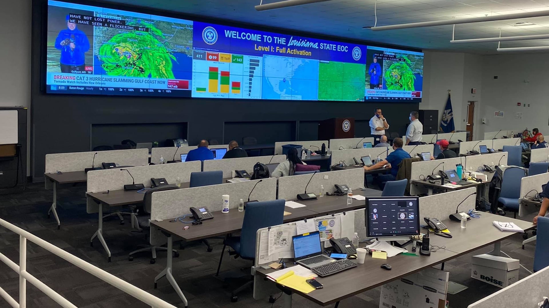
Louisiana uses GIS to better prepare for emergencies and coordinate actions across agencies.