displaying 998 results
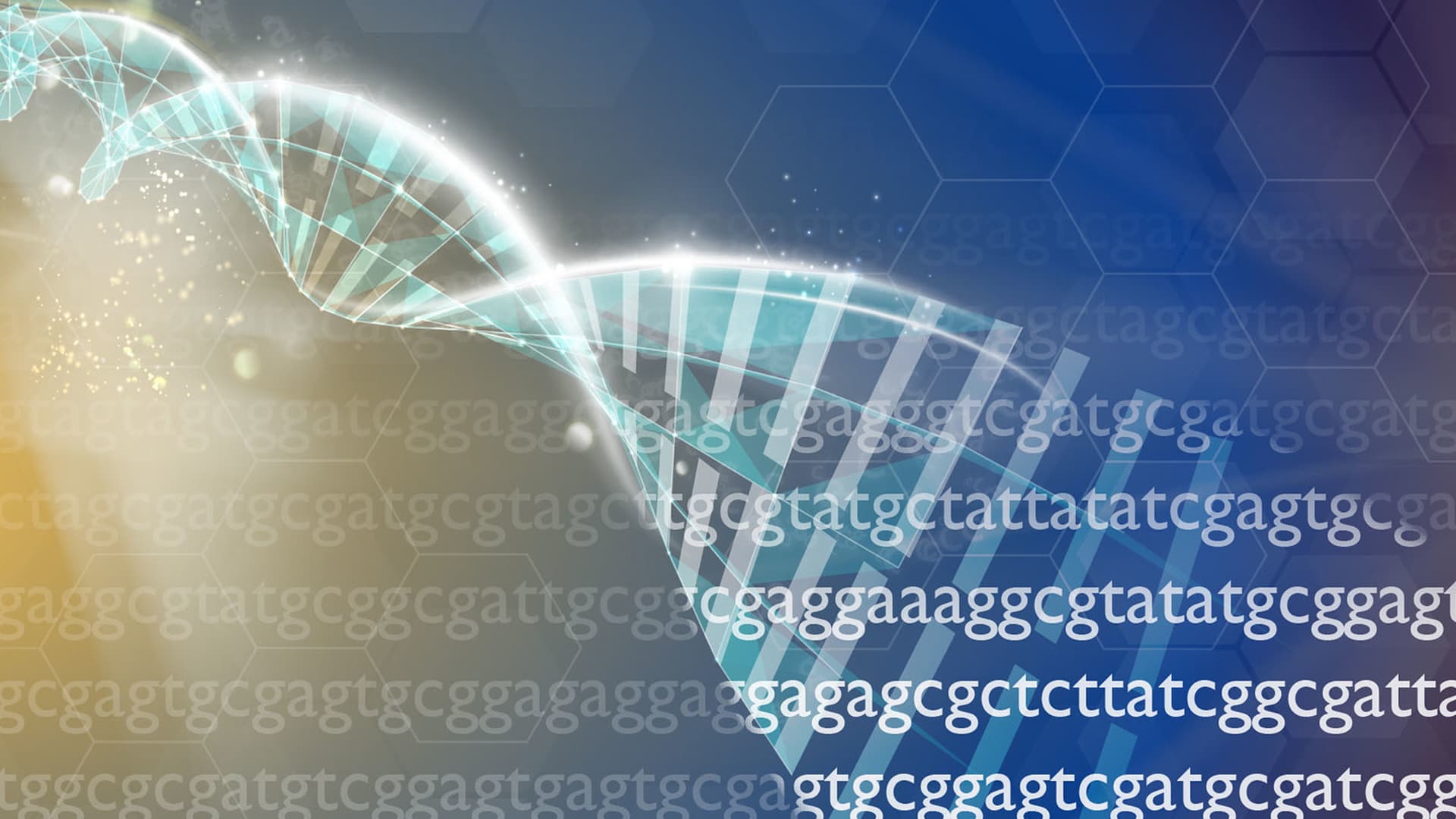
Alice Rathjen has spent a career contemplating new ways to study human genetic information. Now she has a plan.
The social and environmental characteristics of the communities where patients live can be used to inform future treatment options.
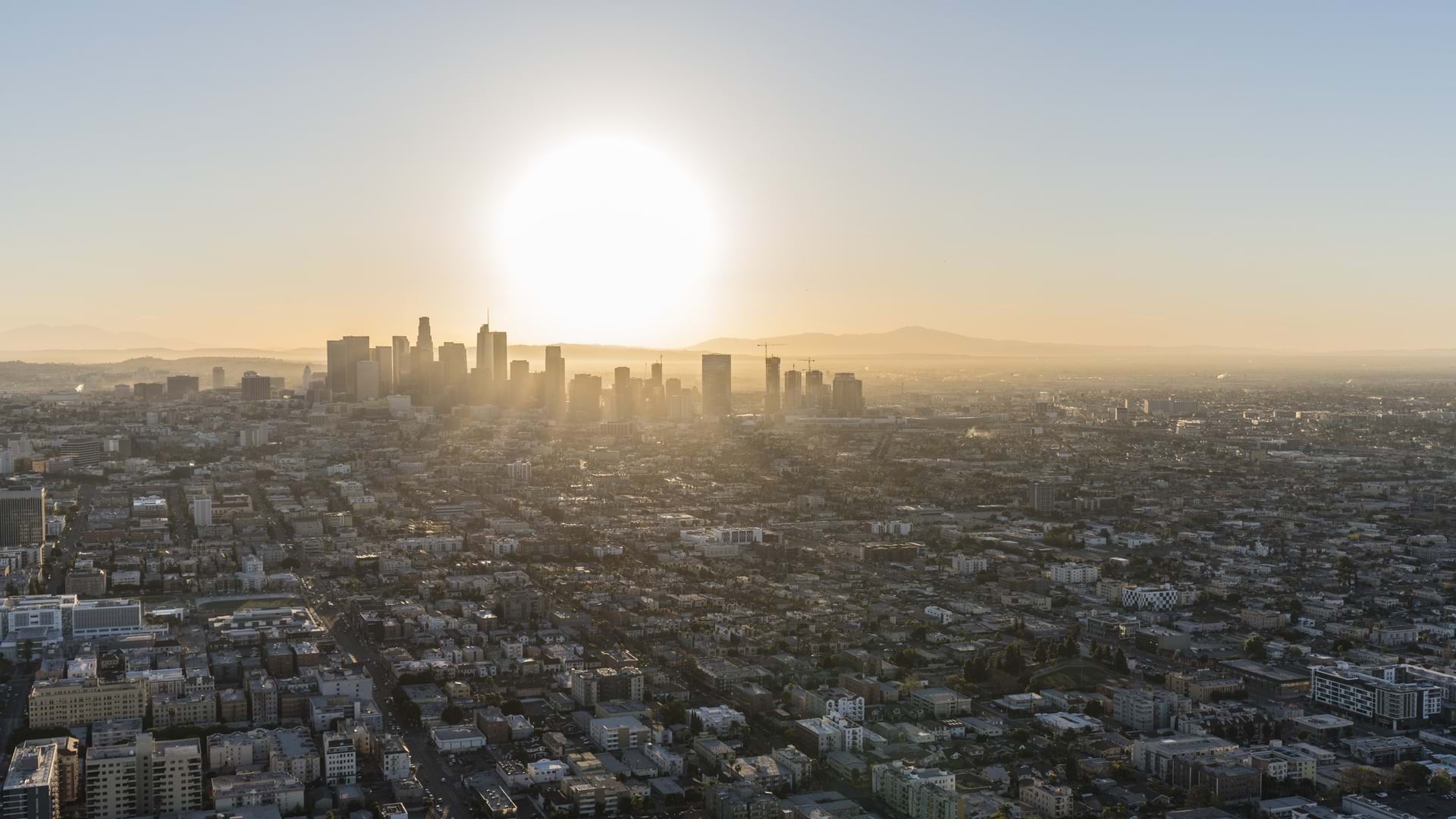
Data science carried out with GIS technology deepens understanding of racial disparities in Los Angeles County.
Authorities use today's smart mapping technologies to track disease outbreaks, decide where to respond, and ultimately prevent pandemics.
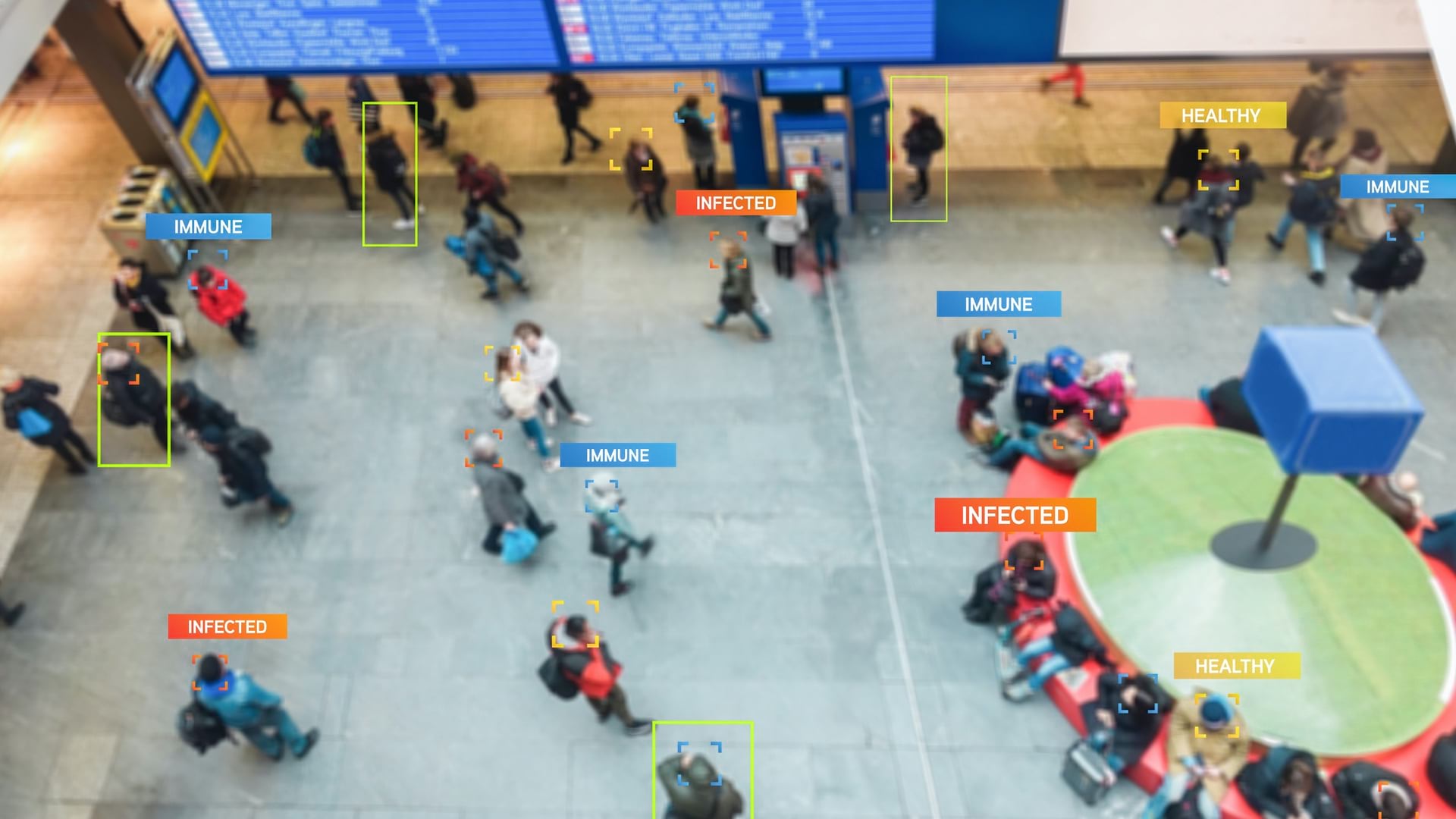
With today’s level of mobility, adding location to contact tracing can help cast a net to slow down the spread of COVID-19.
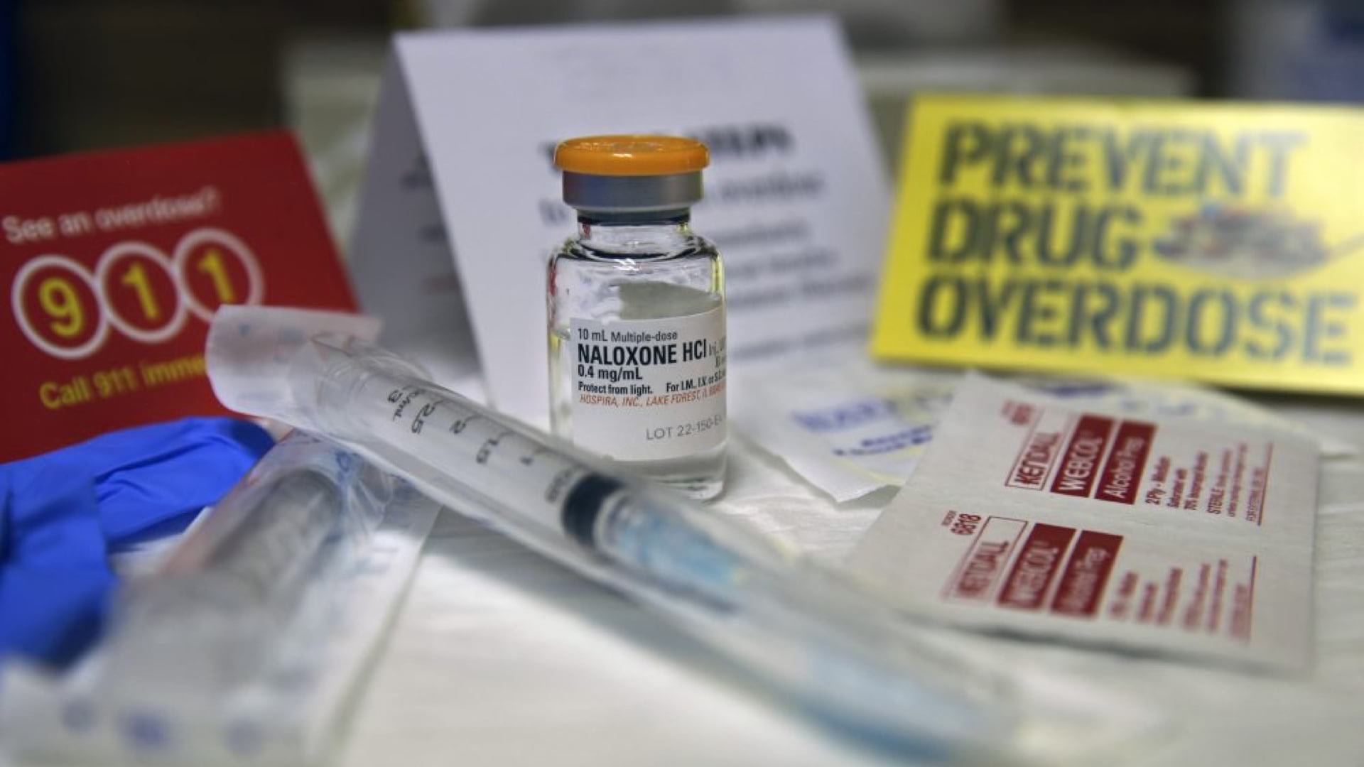
NEXT Distro practices harm reduction by connecting people with substance use disorders to clean supplies and resources.

Marketing executives follow the dictum "know your customer." Now, innovative public sector leaders are adopting and expanding their methods.
With no formal GIS education, an environmental scientist uses Esri resources to help his department investigate foodborne illness in California.

Esri partner Epistemix helped the Riverview School District in Pennsylvania make better-informed policy decisions.

US Forest Service Deputy Chief James E. Hubbard believes GIS is mission critical for fire management and response.
Geodesign is about holistic design and communication.