displaying 263 results

Geographers must lift the veil of historical exclusion by examining their discipline at various scales, empowering marginalized students.
Best practices for making subsets of data by race and ethnicity without making separate maps.
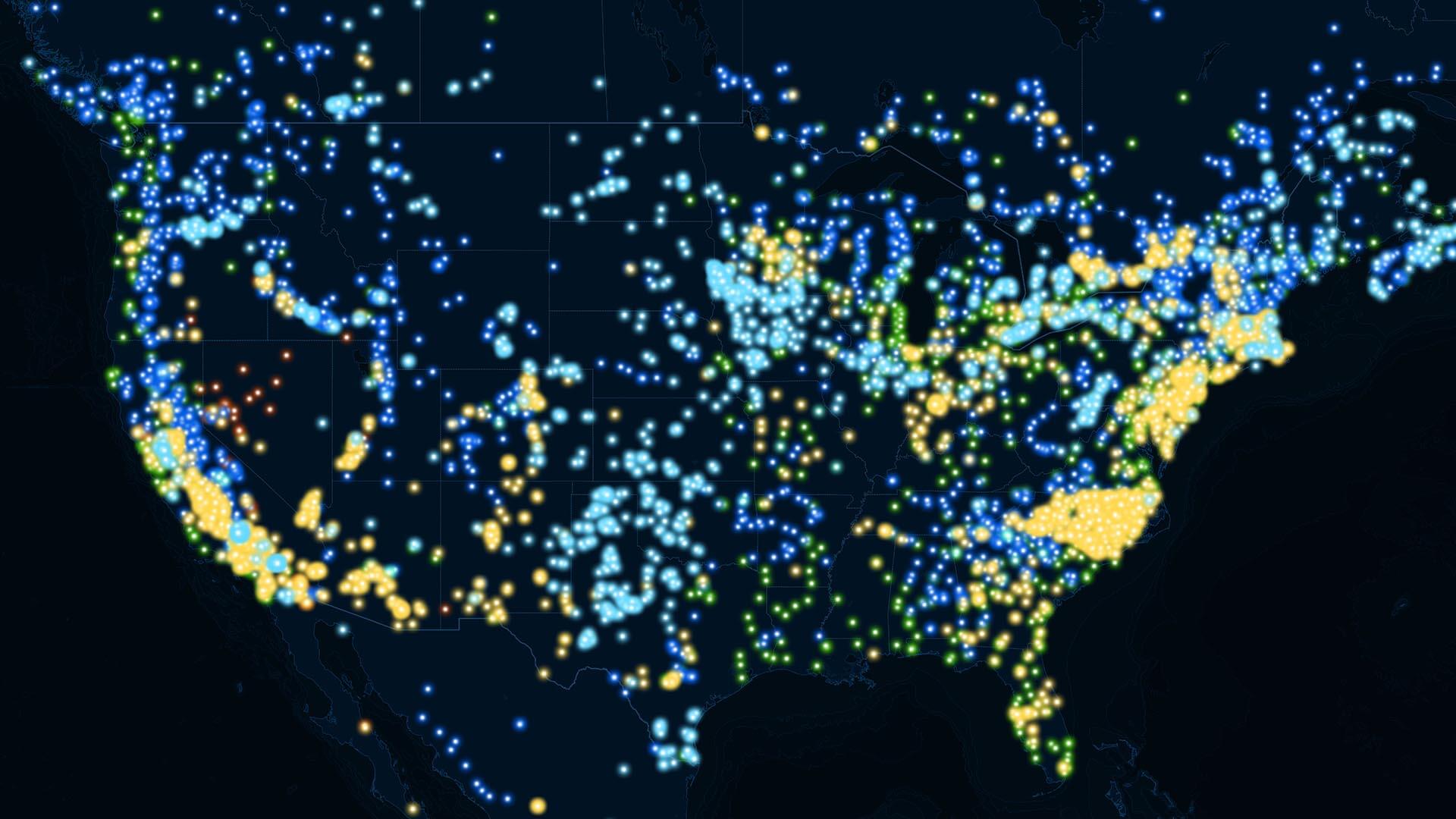
Telecom companies will need strategic smarts to deliver on a once-in-a-generation expansion of broadband internet access.
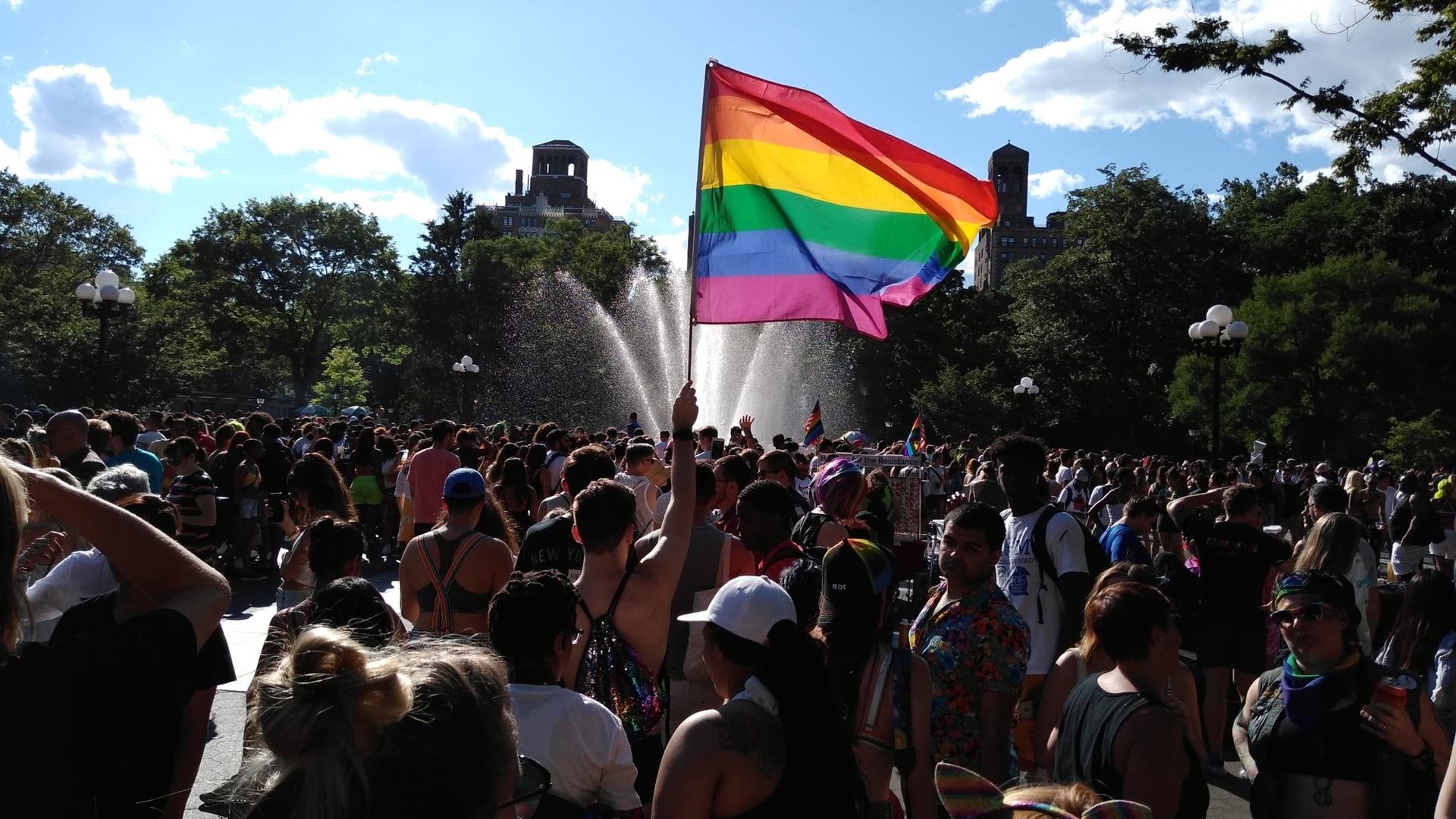
The New York City Police Department has a new LGBTQIA+ Resource Map to connect at-risk youth with community support.
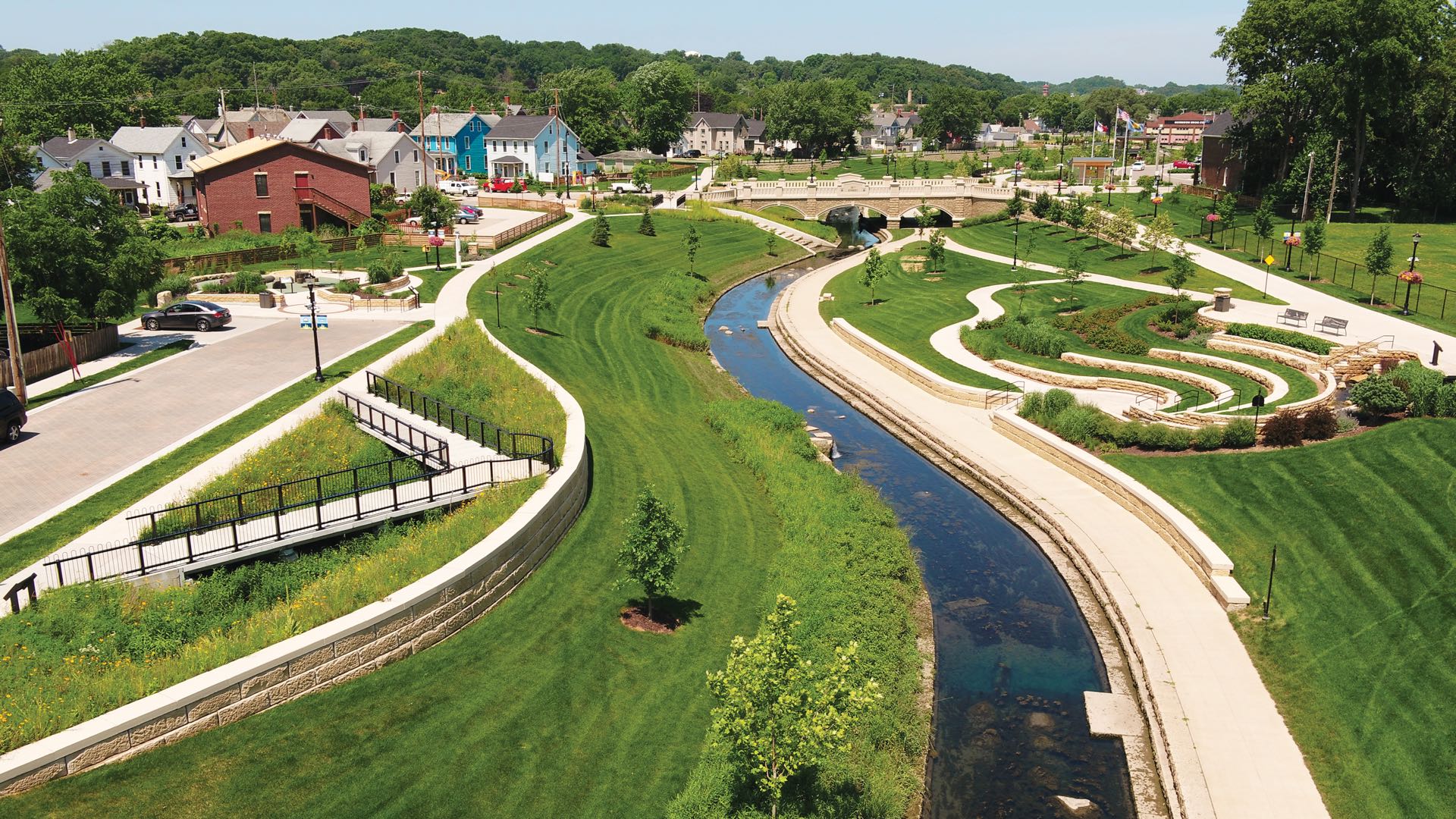
Dubuque uses GIS to solve a chronic flooding problem in an underserved community, ensuring resilience of both infrastructure and citizens.
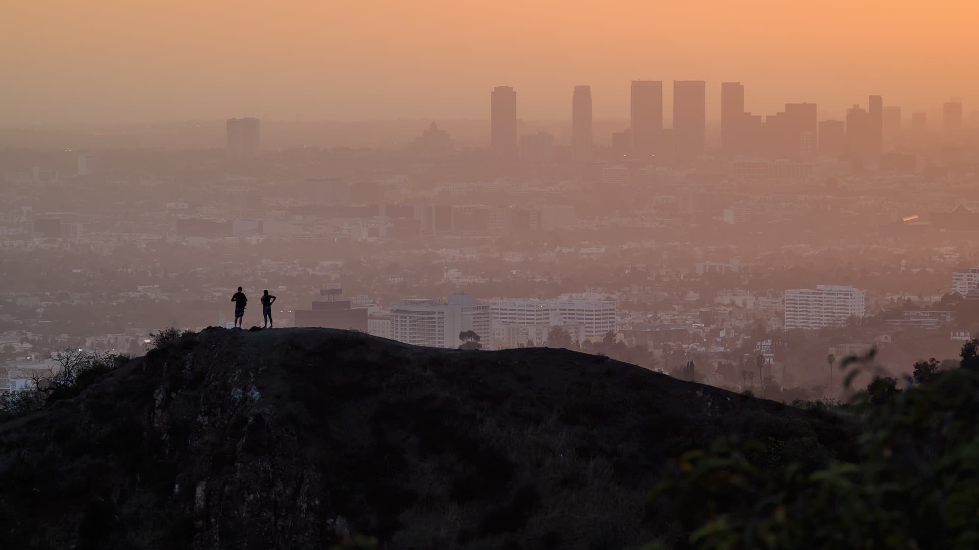
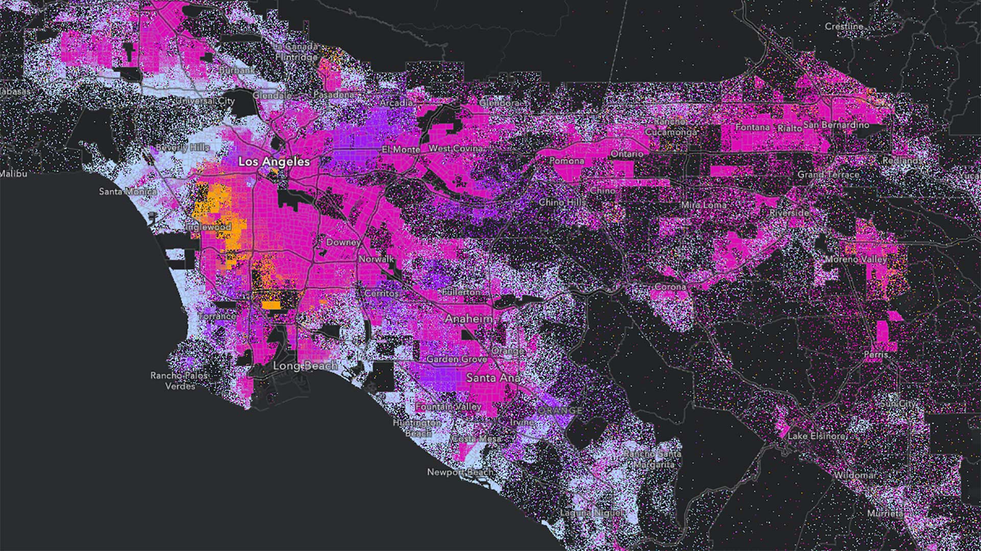
L.A. County's mapping process set community priorities, and maps conveyed the plan to the public.

Esri awarded 27 partners for their innovation and excellence in helping customers succeed with ArcGIS technology. Find out more about them.
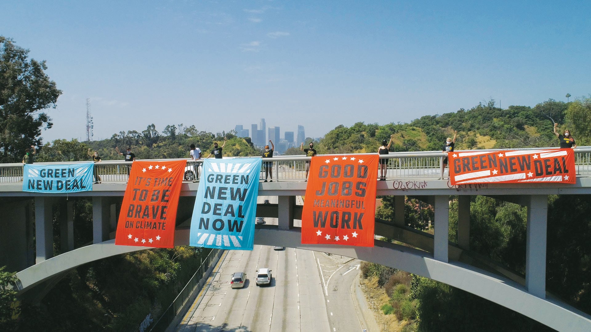
The movement gains momentum from in-person events, so activists started using ArcGIS StoryMaps in response to the COVID-19 pandemic.

The premier gathering of cartographers and GIScience professionals is coming to Redlands. Learn about the event's history and this year's agenda.
Listen as Nick Okafor of MIT’s Office of Engineering Outreach Programs explains how spatial analysis is helping shape better government policy.
Los Angeles County’s Safe, Clean Water Program (SCWP) uses geospatial technology to manage 200 stormwater projects and studies.