Question:
We use technology to run our business more efficiently, but I want our tech stack to help the company grow, too—especially in a slowing economy. How does location technology contribute to business expansion?
Answer:
The senior vice president of sales at a national automotive-related company shares his experience with a recent business expansion:
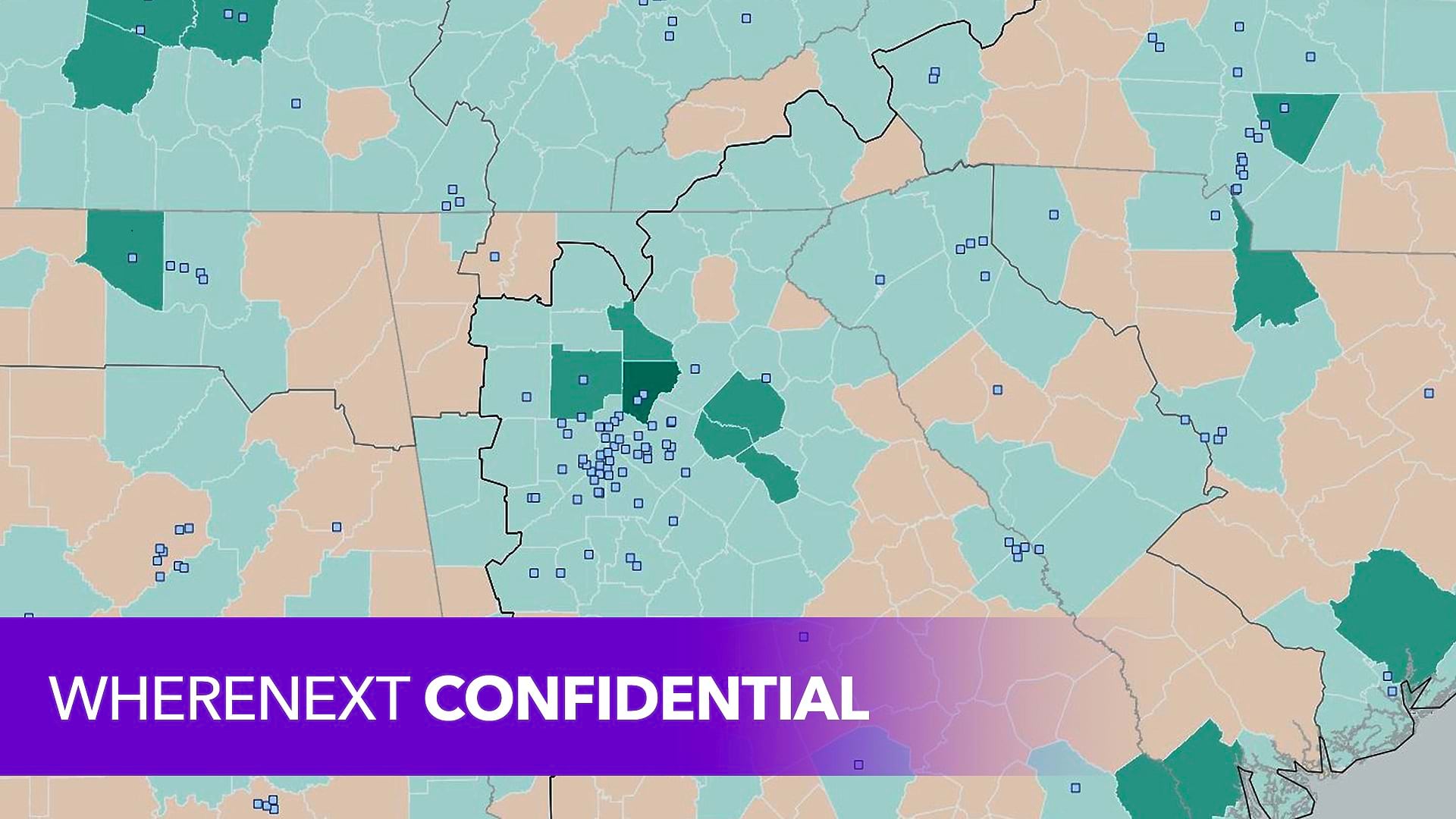
We were looking at [a large metro area in the US South] and we thought that it would be better to have just one warehouse facility. [But] because of [the] mapping and drive time and distribution time to get [our products] from one place to another, it was determined that we would be better off having two facilities, one on each end of the town. [That] would better distribute our [products] and give us better service, which will help us gain market share because we could do work quicker and faster.
When we laid it out—the difference between the cost of the two buildings versus the one building and the managers and everything else—the savings in the actual distribution cost made up the difference.
We went in, opened the new warehouse, opened the four new stores, [and] this year we’re running 53 percent up in our volume, and our profit has doubled. So it does pay off. I’m not saying that if we had done it the old way [without GIS analysis], it wouldn’t have been good. I just think this is better.
A manager who designs supply chains for quick service restaurants details his collaboration with GIS colleagues as they plan for business expansion.
We’re adding restaurants all over the place very quickly. Our demand is increasing significantly, so [the challenge] is, Do we have the capacity to be able to handle our growth?
We’ve partnered a lot with GIS. Everything that they’ve learned from demographic data, sales data, and geographic data, they put it into the system and figure out, “These are all the places we would want to have a [restaurant].”
That information we’re able to use to plan for the future—to say, ”This is where we think we’re going to be. This is where the volume is going to be.“ And then we use that data [to answer the question], ‘Where does the distribution network need to be within that system to be able to service all of these markets in the best way possible?
Layering [the GIS team’s] data with our data to figure out where we need to be is super valuable.
An analytics leader in the financial services industry explains how branch planners use location intelligence to forecast business growth.
We’ve built . . . a GIS analytics product offering that gives them the ability to [perform] what-if scenarios. They go into the web app and evaluate new sites based on forecasting models that we had built for us. [They’re] able to drop a new branch onto the map and see what that branch would do performance-wise [and] how it would impact the other ones. . . . That’s a total location-based process.


