displaying 235 results

AutoCAD 2025 now features ArcGIS Basemaps and ArcGIS Living Atlas of the World data; Esri’s Maps.com highlights exceptional maps.
Esri’s integrating 140 spatial analytics tools and functions into Microsoft Fabric, National Geographic launched the new Mapmaker, and more.

The Autodesk product suite will provide rich, authoritative geospatial reference data from the leading collection of geographic information.

A botanical garden, an infrastructure company, and the State of West Virginia all benefited from the GIS expertise of Esri partners.
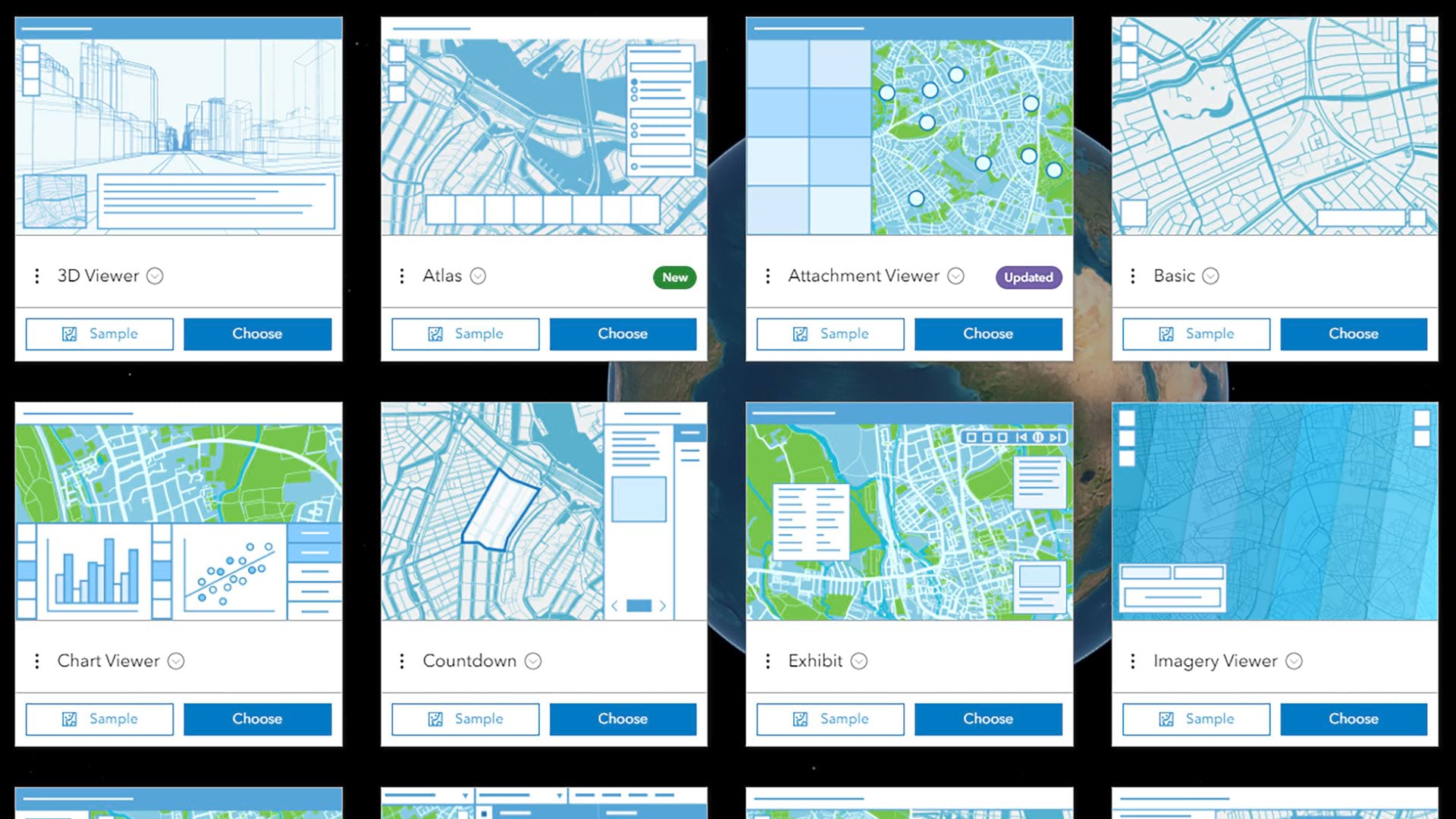
Using Atlas, GIS analysts can create lightweight, interactive web apps around collections of carefully curated geospatial content.
ArcGIS for Teams is working to support the collaboration needs of security organizations worldwide.

ArcGIS Enterprise 11.1 will help your organization work more efficiently.

Best practices for taking over as the administrator for an ArcGIS Online organization.

Briefings, a storytelling tool released as part of ArcGIS StoryMaps, uses slide-based functionality for information-sharing presentations.

By automating communication, the Southern California Association of Governments better manages data contributions from local jurisdictions.
Find out how to celebrate GIS Day, and discover how AI helped make Esri’s latest land-cover map of the world more temporally consistent.

Not many schools provide campus maps to local public safety organizations. Denco 9-1-1 and Esri partner GeoComm are changing that with GIS.