displaying 17 results
See how researchers at Rochester Institute of Technology (RIT) in New York used ArcGIS to create serious games for disaster response.

Learn to add charts to pop-ups in ArcGIS Online by following these step-by-step instructions from Esri technology evangelist Bern Szukalski.
Mission Blue, founded by oceanographer Sylvia Earle, uses ArcGIS StoryMaps to showcase Hope Spots, marine areas in need of protection.
Esri president Jack Dangermond gave a talk at the 2020 Geodesign Summit about how science and geodesign can help create a sustainable future.
Representatives from the Grand Canyon Trust talked about the ArcGIS StoryMap they created called The Voices of Grand Canyon.
Rich Nauman from the Esri environment team offers great advice on how to best convey information in your maps.
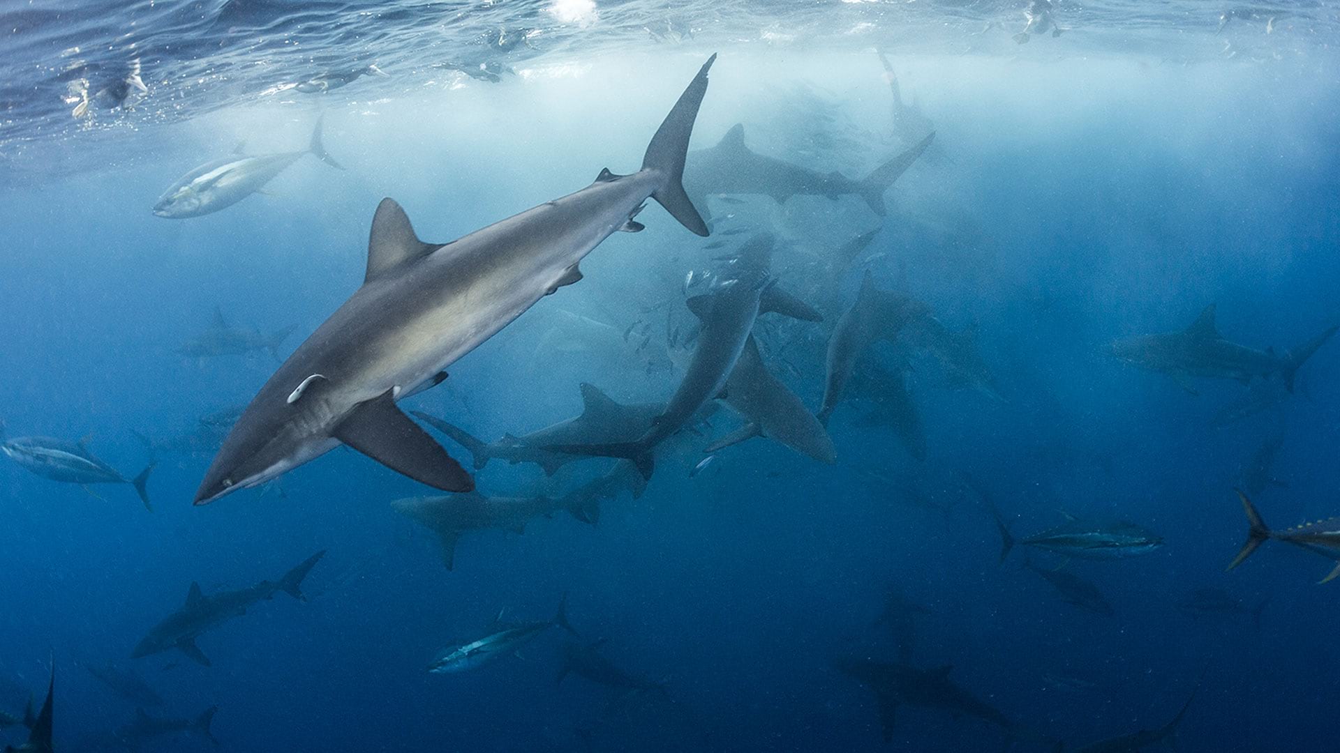
Esri chief scientist Dawn Wright explains how humans’ health and prosperity is linked to the health of our ocean.
New capabilities in ArcGIS Urban will help you create, edit and analyze designs plus obtain feedback about them.
Try out the beta version of ArcGIS Field Maps., the new premier maps app for iOS and Android devices.
An update in World Imagery provides pop-ups that only return the metadata for the imagery visible within your area of interest.
As maps have switched from static paper items to digital conversations, you need to think about how interactive to make your maps.
Esri community evangelist Adam Carnow discusses a need for rebranding how GIS professionals talk about what they do for a living.