displaying 17 results
Officials in Tulare County, CA turned to Esri Redistricting to increase transparency and engage the public in the local elections process.
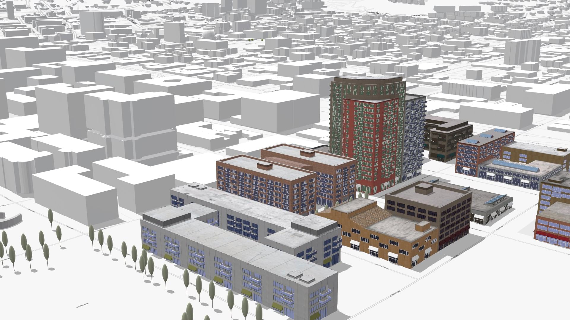
Add context to your scenes with the new OpenStreetMap layers from ArcGIS Living Atlas of the World.
Read about how the State Property Office in North Carolina overhauled their inventory with ArcGIS Experience Builder.
Listen as Nick Okafor of MIT’s Office of Engineering Outreach Programs explains how spatial analysis is helping shape better government policy.
Do you have a compelling story created with ArcGIS StoryMaps? October 7 is the deadline to submit to the 2022 ArcGIS StoryMaps Competition.
Esri recently made available a wealth of updated demographic data for the US. In this blog, explore how you can incorporate it into your work.
In this story created with ArcGIS StoryMaps, learn about the rise of seabed maps and why seafloor mapping is critical to saving our planet.
Improve the accessibility of your maps with new Enhanced Contrast basemaps in ArcGIS Living Atlas of the World.
Everyone deserves the opportunity to live a healthy life. Explore how GIS can best support health equity at the policy level.
ArcGIS Pro 3.0 incorporates user-submitted suggestions from across the GIS community. Check out how developers implemented these ideas.
With ArcGIS for SharePoint, combine documents with spatial data so users only need to click a feature on a map to see all its related files.
ArcGIS StoryMaps is one of a few ways to render your data relatable and easy to understand. Check out these examples of effective storytelling.


