displaying 17 results
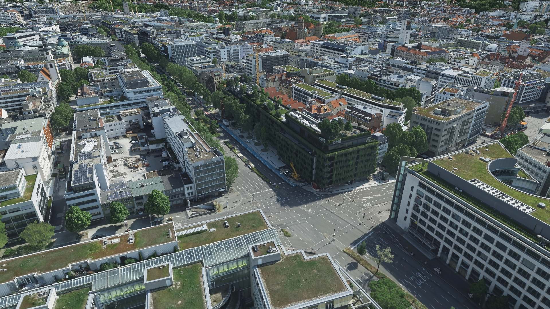
With aerial data and reality mapping, GeoFly helped create a 3D model of the City of Stuttgart to build an even smarter city.
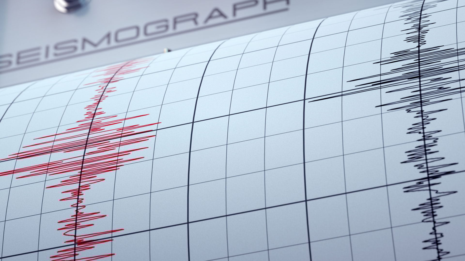
ArcGIS Living Atlas of the World and ArcGIS Online analysis tools can help you learn more about the impacted population of an earthquake.

Williams began using ArcGIS Monitor in 2018. But after recent updates to the software, Williams is now taking advantage of its new capabilities.
Listen as professor Matt Ritter discusses the vitality of tree networks in fighting the effects of climate change.
Check out the latest chapter in this series of ArcGIS StoryMaps stories on living in the age of humans.
Prepare, Respond, Renew, a new title from Esri Press, explores how wildland fire agencies successfully use GIS for mitigation and recovery.
Discussion boards are now available within Hub as an engagement tool for private and public discussions on predefined topics.
Learn more about the Fieldwork Handbook, a new companion guide for people using GIS in the field.
Visualize quotes, stories, sentiments, and experiences using labels, pop-ups, dashboards, and word clouds.
If you have more than one ArcGIS account, here's how to link them to make account switching easy.
Explore strategies in adding and providing meaningful accessible labels to your ArcGIS web apps to accommodate a larger audience.
Business resilience begins with visibility into what's happening now to global assets, facilities, the workforce and the future.