John Nelson
Connect:

I have far too much fun looking for ways to understand and present data visually, hopefully driving product strategy and engaging users. I work in the ArcGIS Living Atlas team at Esri, pushing and pulling data in all sorts of absurd ways and then sharing the process. I also design user experiences for maps and apps. When I'm not doing those things, I'm chasing around toddlers and wrangling chickens, and generally getting into other ad-hoc adventures. Life is good. You might also like these Styles for ArcGIS Pro: esriurl.com/nelsonstyles
Posts by this author
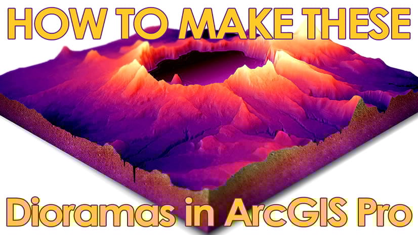
How to make a 3D diorama in ArcGIS Pro

Here's how you can make those charming little 3D model extracts for all sorts of cool and valid reasons.

Continue Reading

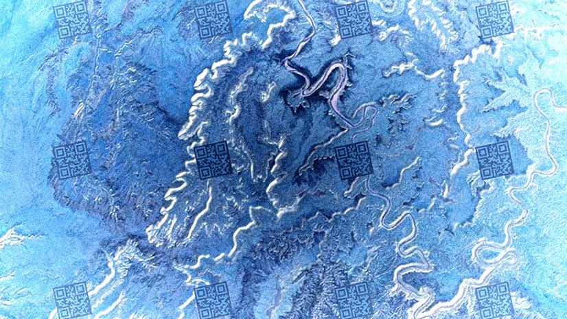
How to make a QR code watermark tile layer for ArcGIS

Oh those sassy QR codes! Everything is just a scan away...

Continue Reading

How to add an inner glow to polygons with the ArcGIS API for JavaScript

Pictures strokes are here to save the day

Continue Reading

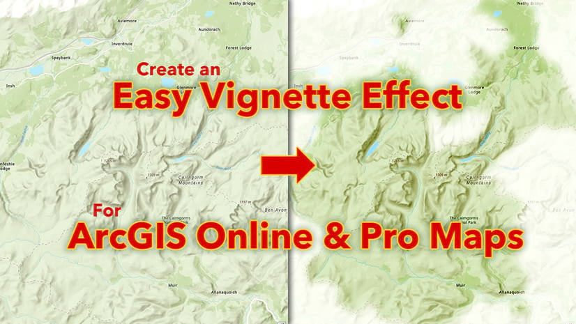
Easy vignette effect for ArcGIS Online and Pro maps

To better see, sometimes we need to un-see.

Continue Reading

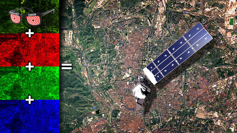
Easy Landsat 9 Color-Combo and Pansharpening…with Blend Modes!

Landsat 9 imagery is here, just begging for you to grab it and start smashing bands together into a glorious full-color pansharpened image.

Continue Reading

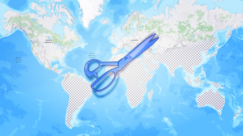
How to hide, style, or add layers to a vector basemap

Want the bathymetry from the topo basemap and not any of the not-thymetry? Here's how to isolate! Then a ton of other stuff.

Continue Reading

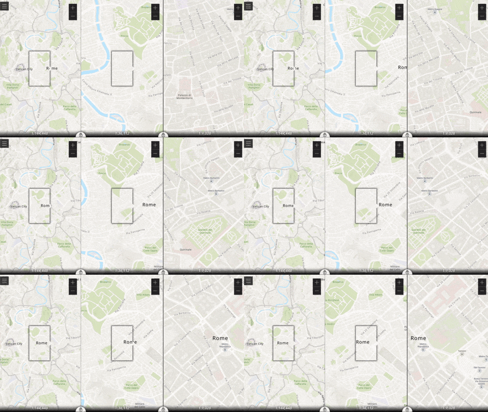
Zoom. Enhance.

The ArcGIS API for JavaScript lets you do all manner of app/viz shenanigans.

Continue Reading

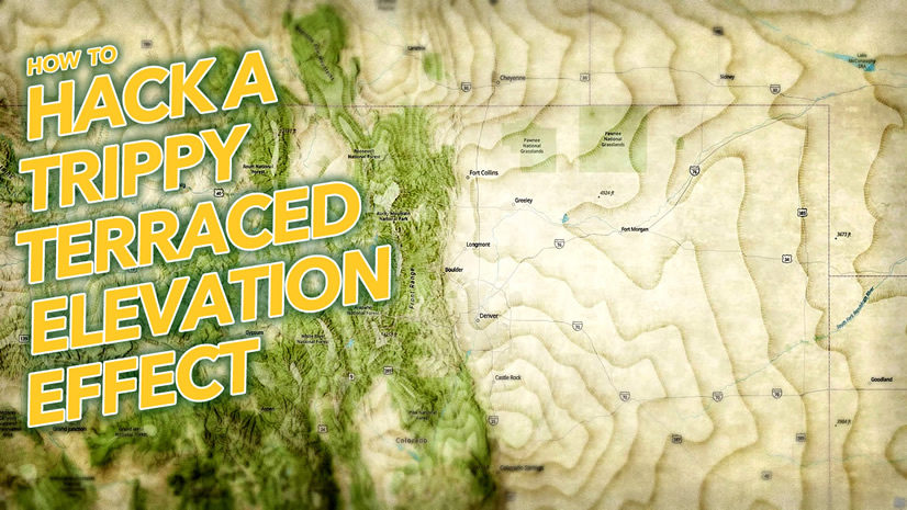
How to make weird trippy terraced contour line things

Contour lines rule. Here's how to punch them up with some insane hachure and shadow tricks.

Continue Reading

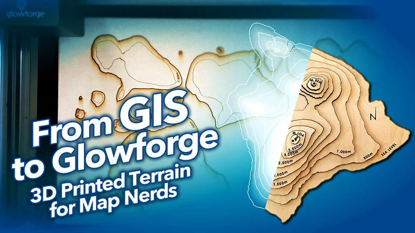
How to make those cool wood-cut terrain models

Here's how to use ArcGIS Pro to and Spatial Analyst to make a template for those charming little wooden terrain models.

Continue Reading

1 6 7 8 9 10 37