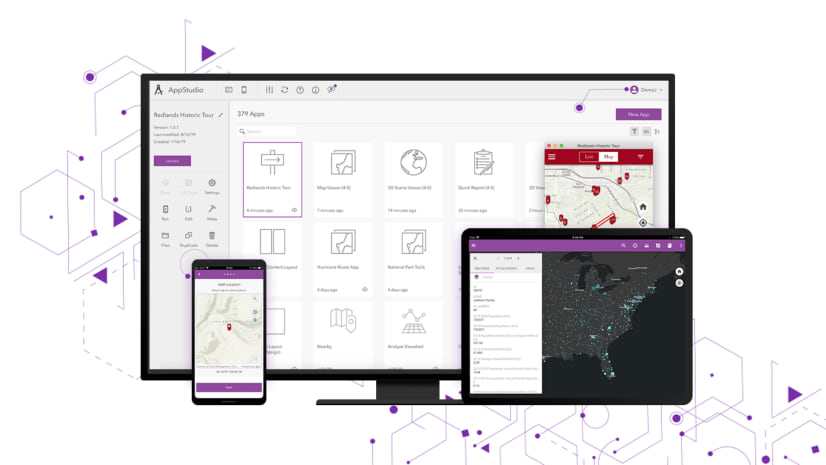
With the release of ArcGIS AppStudio version 5.3, we have improved our existing templates by adding exciting new features, enhancements, and bug fixes to help you create cross-platform native apps easier and faster. In this release we have updated all templates to fully support ArcGIS Runtime 100.13 and Qt framework 5.15.6.
Visit the What’s New post to learn about all the updates in AppStudio 5.3.
Zone Lookup
AppStudio Zone Lookup template app which consumes the Zone Lookup instant app has received exciting new feature updates as mentioned below.
Filters support
This feature allow users to filter the query results based on the attributes value and act as the where clause for the query. These filters are authored and configured in the instant app. Multiple filters can be created per feature layer and can be used to follow ALL (using the AND operator) or ANY (using the OR operator) conditions when performing query for each layer.
Filters can be either predefined or require user input. Predefined filters use the preset value of an attribute or collection of attributes together. User input filters allow an end user to choose a valid attribute value on the fly. End users can use any combination of one or more filters at any given point.
For user input filters, Filter UI is based on the data types of the attribute (fields)
- Combo-box for the string or domain fields
- Sliders for the number or double fields
- Calendar control for the date fields
As shown in an example below how users can engage with the filters (similar to the online instant app) within the Zone Lookup AppStudio native app.

Draw a zone
You can now perform a zone lookup query by using the draw tool in the app header bar. The draw tool allows users to create a polygon of their choice which is used as a spatial filter to find features which are completely within it. In other words, instead of just identifying a zone, you as a user can now also draw an imaginary zone (polygon graphic) which is used as an input for the spatial query.
While drawing a zone by tapping on the map:
- You can drag a line by pressing, holding, and dragging the white dots to enlarge or shrink the zone.
- You can undo, redo, and clear previously drawn lines.
After you hit apply, the query is performed, and the results are displayed on the map and in the list view. A working example is shown below

Map Viewer
Elevation Profile
Similar to the 5.2 update in the Nearby template, this release we have added the option to view the elevation profile for the polyline data within the web map. Users will be able to view the interactive elevation profile chart along with the elevation statistics for the selected polyline feature. To access the elevation profile chart and data, tap on a polyline feature and navigate to the chart option within the popup. Shown below is an example of an elevation profile of a selected trail.

Other improvements within Map Viewer include:
- Updates to include the group layers within the layer content for both online and offline maps. Previously, only the sublayers were shown in the table of contents without the parent group layer
- UI/UX improvements and other bug fixes
Attachment Viewer
Offline support
Based on the user request, the Attachment Viewer template is now supported for offline use. To download a map for offline use you will first need to create predefined offline map area within the web map which is used when configuring the Attachment Viewer instant app. After the map areas have been created for the web map, they will be available in this template app to download locally for offline use. In a disconnected environment with no internet access you will be able to run the template app, browsing the Attachment Viewer map and the attachments using the previously downloaded offline maps in the same way as you would with the online map. Here is a working example of the offline maps for use within the Attachment Viewer template app.

General Improvements and bug fixes across various templates
| BUG-000145623 | The Quick Report template was crashing when entering text in a multi-lined text field on iOS devices. |
| BUG-000146297 | When using the Attachment Viewer template, layers with attachments that had a ObjectID titled something other than “OBJECTID” caused loading issues. |
| BUG-000143656 | Unable to download offline map areas from Portal for ArcGIS using the Map Viewer template. |
.
Try it yourself!
Would you like to try these new features on your mobile device? You can easily run the Nearby template, Zone Lookup template and other templates using AppStudio Player. Here are the quick steps involved in this process:
- Download & install the AppStudio Player on your mobile device as provided here
- Run the Player app
- Go to the App Settings from the side menu
- Turn on “Developer mode” and then go back to the main page of the app
- Navigate to the third bottom tab to access samples and templates as shown below

For more information about specific bug fixes and additional details about this release, please see the what’s new in AppStudio online documentation and this ArcGIS Blog post.
We hope you like the new features and enhancements added to this release. Please provide any feedback and suggestion to appstudiofeedback@esri.com or leave your comment on GeoNet.
Become an AppStudio for ArcGIS developer! Watch this video on how to sign up for a free trial.
Follow us on Twitter @AppStudioArcGIS to keep up-to-date on the latest information and let us know about your creations built using AppStudio to be featured in the AppStudio Showcase.
The AppStudio team periodically hosts workshops and webinars; please click on this link to leave your email if you are interested in information regarding AppStudio events.


Article Discussion: