The Esri User Conference is going virtual this year, and the ArcGIS Earth team is excited to meet you in the new conference format!
New to ArcGIS Earth?
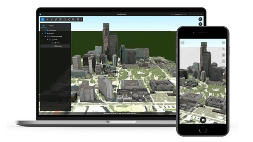
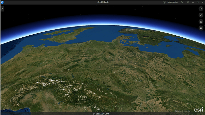
ArcGIS Earth is an interactive 3D experience for users to plan, visualize, and evaluate events around the globe. ArcGIS Earth provides situational awareness of an environment on desktop and mobile devices for improved decision-making. Ingest data in different formats, including 3D models, KML, TXT, and open services from ArcGIS or with a URL, to explore areas of interest in 3D. Manipulate KML in its entirety to understand changing circumstances. ArcGIS Earth is a free and easy-to-use tool to quickly fuse, manipulate, and collaborate with 3D data for research, planning, supporting time-sensitive briefings, and graphic presentation.
Join us at UC 2020
ArcGIS Earth will release new additional capabilities in Q3 2020, and the team is excited to share what’s coming at UC. Be sure to register for the conference to connect with the team in the virtual expo for 1:1 meetings and access to on-demand sessions. Participation is complimentary to all organizations current on maintenance, but individual registration is required to participate.
Demo Theater presentations available on-demand
Registered “All-access” participants will have access to hundreds of on-demand demo theater presentations during the conference (July 13-16) via the virtual event platform. The following ArcGIS Earth-focused sessions will be discoverable by title beginning July 13.
- “ArcGIS Earth: An Introduction” (Speakers: Steve Haynes and Darron Pustam | Track Title: 3D Visualization and Analytics, Getting Started with ArcGIS | Session ID 11057)
- “ArcGIS Earth: Advancing KML Workflows” (Speakers: Steve Haynes and Darron Pustam | Track Title: 3D Visualization and Analytics | Session ID 11990)
- “ArcGIS Earth: Working Offline” (Speakers: Steve Haynes and Darron Pustam | Track Title: 3D Visualization and Analytics | Session ID 11991)
Interested in learning more before the conference?
- Learn about ArcGIS Earth and download on the website: esri.com/uc2020/earth-overview
- View video tutorials and webinars on the YouTube Playlist: esri.com/uc2020/earth-playlist
- Read what’s new in ArcGIS Earth via the ArcGIS Blog: esri.com/uc2020/earth-blogs
- Read product help documentation: esri.com/uc2020/earth-help
Connect with us
- GeoNet: esri.com/uc2020/earth-geonet
- Twitter: @ArcGISApps
- Facebook: @ArcGISApps
- Instagram: @ArcGISApps
We look forward to connecting with you at UC 2020!


Article Discussion: