ArcGIS Image for ArcGIS Online is a SaaS that allows users and organizations to host, visualize, analyze, and share imagery in ArcGIS Online. As a member of the ArcGIS Image product suite, ArcGIS Image Online assists organizations in quickly managing and sharing their imagery data without the need for infrastructure. Once you have all your imagery data organized, ArcGIS Image Online then allows for analysis workflows, including deep learning. For this release, we are adding support for new sensors, support for the vector field template, a new multidimensional imagery layer experience, and additional performance improvements.
New raster types
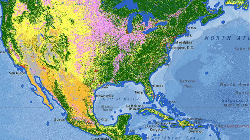
For the November release of ArcGIS Image Online, several sensors will now be supported as raster types including:
- Jilin-1
- Landsat 9
- PlanetScope
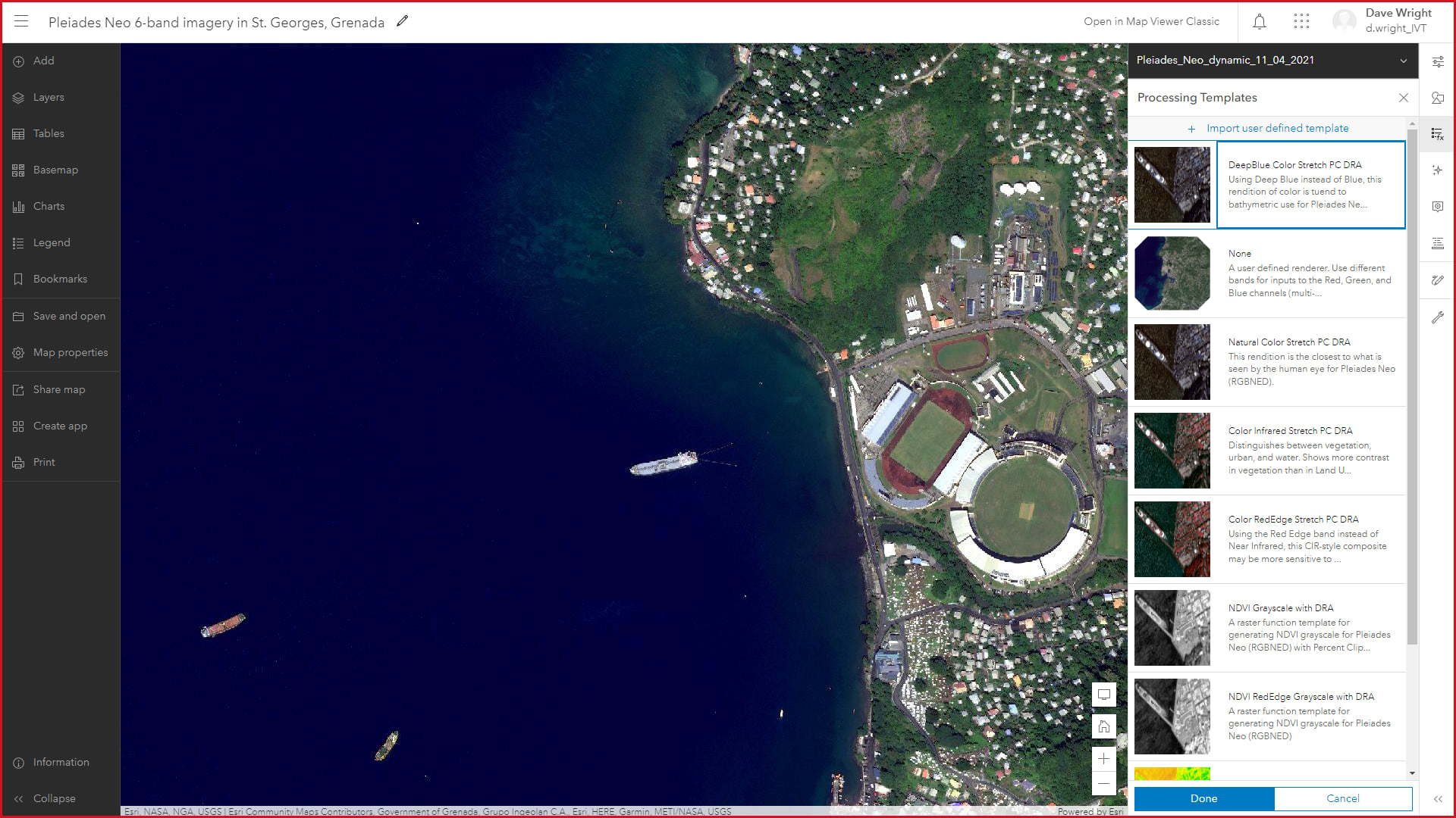
- Pleiades Neo
- SuperView-1
There are new raster types available in ArcGIS Image Online to create imagery for your organization. You can use these new raster types to gain access to additional processing templates to display the imagery layers as desired. Within each raster type, there are several processing templates based on the raster bands unique to that particular sensor that can be used to create the desired visualization.

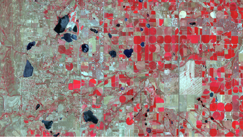
Vector field template
For scientific imagery layers, such as NetCDF, the vector field template is available to use in ArcGIS Image Online. There are two field types to choose from: the Vector-Magnitude-Direction and the Vector-UV template. The new processing templates can be accessed in the same way the other raster templates during the creation of the imagery layer after choosing any of the scientific raster types (NetCDF, HDF, or GRIB). The option to create a custom visualization with raster functions is still available, but this template creates the visualization during the creation.
Multidimensional user experience in the map viewer
There is a new multidimensional data user experience that allows you to investigate the data, visualize the time slices, and use specific slices in analysis. When a multidimensional imagery layer is added to the map viewer, the multidimensional pane is enabled to further investigate the multidimensional data. Through the multidimensional information pane, the available variables and time slices will be indicated.

In addition to reviewing the multidimensional data, you can also limit the extent of what is available to be visualized in the map to focus the analysis and display.
Performance and stability fixes
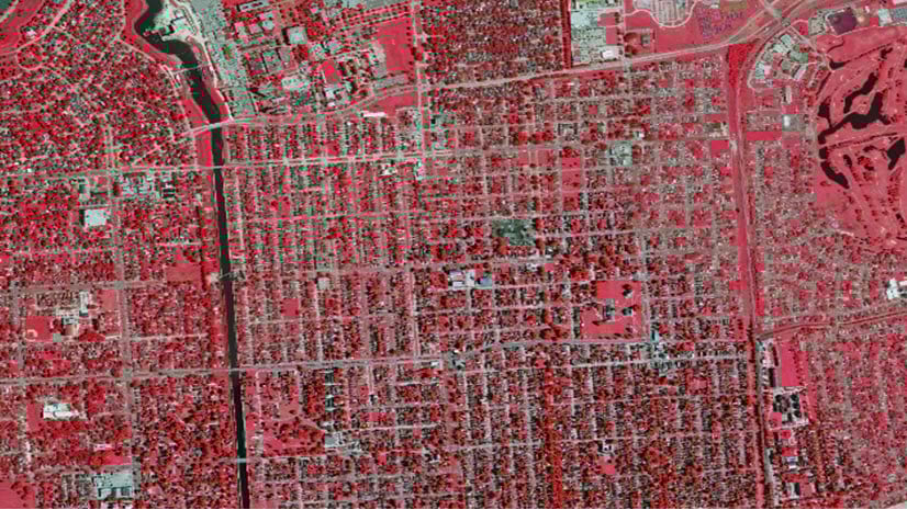
There have also been performance enhancements and stability fixes added with this release to further improve the user experience with imagery layers from ArcGIS Image Online. Dynamic imagery layer performance and upload input image performance have been the primary focus in this release.
Did you know: Tile package export from tiled imagery layers
In the previous What’s New in ArcGIS Image for ArcGIS Online blog, there was a mention of the ability to take the imagery layers offline through exporting tile packages. This requested functionality allows you to export tile packages from tiled imagery layers in apps like Field Maps. The option to export as a tile package is available from the Item details page of tiled imagery layers. Once the tile package has been exported, you can use that tile package in any ArcGIS application.
Ready to take the next step
As an ArcGIS Image Online user, you can start exploring these new capabilities today. The Product Team is interested in your thoughts and ideas as you explore. Influence the direction of future releases when you visit us and leave a comment via the Esri Community.
Are you still exploring what ArcGIS Image Online can do for you? Watch a demo and see what others are saying about the product, such as Skytec, LLC, the City of Johns Creek, and the City of Yakima.


Article Discussion: