ArcGIS Living Atlas of the World provides foundation elevation layers and tools to support analysis and visualization across the ArcGIS system. These layers get updated quarterly with high resolution elevation data from federal agencies, open sources, and community maps program. Esri is providing these datasets as ready to use services that benefit the GIS community and extend the use of data in new and innovative ways. In this release, world elevation layers are updated with a few high-resolution elevation datasets.
Terrain and TopoBathy layers are updated with:
- Land Information New Zealand’s (LINZ) 1-meter DTM’s covering partial areas of New Zealand
- Land Burgenland’s 50-centimeter DTM’s covering state of Burgenland, Austria
TopoBathy layer is updated with:
- Swisstopo’s 1-3 meters swissBATHY3D bathymetric datasets covering lake beds of Switzerland
- USGS’ 1-3 meters CoNED topobathymetric datasets covering partial coastal areas of California, Chesapeake Bay, New Jersey/Delaware, Mobile Bay, Tampa Bay and North Carolina.
Let’s see a few examples highlighting the improvements.
Broadmeadows, Wellington, New Zealand – fine details in suburb depicted with LINZ 1-meter DTM in comparison to 24 meters WorldDEM4Ortho

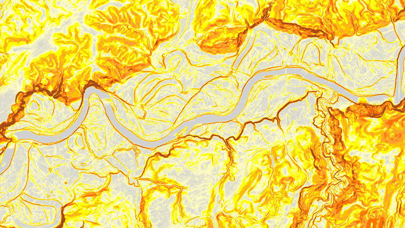
Awhitu, New Zealand – rugged terrain of Awhitu peninsula depicted with LINZ 1-meter DTM in comparison to 24 meters WorldDEM4Ortho

Lake Zug, Switzerland – bathymetry of lake Zug depicted with swissBATHY3D 1-meter data

San Francisco Bay, California, USA – bathymetry of San Francisco bay depicted with 2 meters data

These data updates will be rolled out to the world elevation tiled services – Elevation 3D (Terrain3D and TopoBathy3D) and Hillshade (World Hillshade and World Hillshade (Dark) ) by the next quarter.
To see the coverage extent of each source comprising World Elevation services, check out the Elevation coverage map.
You can help in improving these services by contributing high-resolution elevation data to Living Atlas of the World. To participate and learn more, check out the Esri Community Maps for Elevation program.


Article Discussion: