This blog was updated on 29th September, 2021.
ArcGIS Living Atlas of the World provides foundation elevation layers and tools to support analysis and visualization across the ArcGIS system. These layers get updated quarterly with high resolution elevation data from federal agencies, open sources, and the community maps program. Esri is providing these datasets as ready to use services that benefit the GIS community and extend the use of data in new and innovative ways. In this release, world elevation layers and tools are updated with a few high-resolution elevation datasets.
These layers are updated with the following datasets:
- Swisstopo’s swissALTI3D 50 centimeters and 10 meters lidar derived DTM’s covering the country of Switzerland and Liechtenstein. With this update, there are now 48 times more details available than the previous resolution of 24 m.
- INGV’s 10 meters DTM covering the country of Italy.
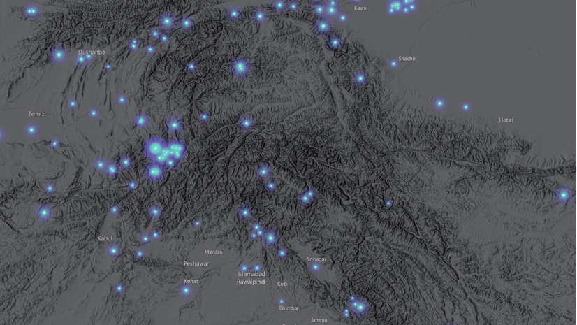
- Expanded coverage of USGS 3DEP 1 meter lidar derived DTM’s covering areas of the conterminous United States and Puerto Rico. In this release, approximately 500,000 square kilometers of new coverage of USGS 3DEP 1 meter is included. The graphic below shows the new additions (magenta) along with the previously available coverage (green).

Ready-To-Use Elevation Tools:
Ready-To-Use Elevation Tools (i.e. Profile, Viewshed and Summarize Elevation) are also updated with 10 meters elevation data for Switzerland, Liechtenstein and Italy.
Let’s see a few examples highlighting the improvements with before and after images.
Matterhorn, Switzerland – a near-symmetric pyramid peak (4,478 meters) at Swiss and Italian border depicted with swissALTI3D 50 centimeters data in comparison to 24 meters WorldDEM4Ortho

Jungfrau, Switzerland – one of the main summits of the Bernese Alps (4,158 meters) and most glaciated part of the mountain range showing improvements with swissALTI3D 50 centimeters data in comparison to 24 meters WorldDEM4Ortho

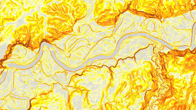
Bern, Switzerland – Old town of Bern at bend of Aare river and a UNESCO World Heritage site, showing fine details with swissALTI3D 50 centimeters data in comparison to 24 meters WorldDEM4Ortho

Entlebuch, Switzerland – a UNESCO biosphere reserve depicted with swissALTI3D 50 centimeters data in comparison to 24 meters WorldDEM4Ortho

Vaduz, Liechtenstein – Vaduz and surrounding areas depicted with swissALTI3D 50 centimeters data in comparison to 24 meters WorldDEM4Ortho

Vesuvius National Park, Italy – an Italian national park centered on the active stratovolcano volcano Vesuvius, depicted with 10 meters INGV data in comparison to 24 meters WorldDEM4Ortho

Sinkyone State Park, California, USA – improvements depicted with 3DEP 1 meters data in comparison to 3 and 10 meters FEMA/NED

Ponce, Puerto Rico – fine details in hilly sub-urban area depicted with 3DEP 1 meters data in comparison to 10 meters NED

[Update: 29 Sept 21] These data updates have been rolled out to the world elevation tiled services – Elevation 3D (Terrain3D and TopoBathy3D) and Hillshade (World Hillshade and World Hillshade (Dark) ).
To see the coverage extent of each source comprising World Elevation services, check out the Elevation coverage map.
You can help in improving these services by contributing high-resolution elevation data to Living Atlas of the World. To participate and learn more, check out the Esri Community Maps for Elevation program.

Article Discussion: