In today’s data-driven world, access to reliable and authoritative location data is essential for organizations making critical decisions. Esri’s commitment to integrating high-quality open data, through projects like OpenStreetMap and the Overture Maps Foundation, empowers users to build accurate maps, analyze trends, and unlock new possibilities for geospatial insight. To address how Esri is approaching open data we are back with our Esri Experts blog series where we gain a deeper insight into ArcGIS Data products by sitting down with the professionals developing these products.
In this interview, Esri’s Senior GIS Engineer Steve Moore shares how Esri’s rigorous data validation processes, innovative technology, and collaborative approach are shaping the future of location services, ensuring customers have the tools they need to succeed in an ever-evolving landscape.
1.Could you please introduce yourself and explain your role at Esri? When did you join the team, and how has your role evolved over time?
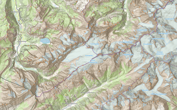
My name is Steve Moore and I am a Senior GIS Engineer on the Living Atlas team at Esri. My focus is primarily on open data which includes projects like OpenStreetMap (OSM) and the Overture Maps Foundation. I support the creation and maintenance of 2D and 3D basemaps as well as feature layers created from these data sources.
I’ve been with Esri since early 2012, first working on our Enterprise products in Technical Support followed by several years in the Professional Services division. I joined the Living Atlas team in early 2020 after spending an increasing amount of time working on OSM. Since then, Esri’s involvement with and usage of open data projects has significantly increased to the point where they are now a core part of our content offerings.

2.Esri is known for delivering world-class services, including the integration of multiple data sources and a rigorous vetting process for authoritative data. In your opinion, what sets Esri’s data products and location services apart from those offered by other companies?
I think one thing that sets Esri’s content products apart from other companies is the sheer number of options we have when it comes to sources and types of data. For example, we offer commercial and open data products alongside one another and leave it up to the customer to decide which option best suits their needs. We can also provide multiple layer types from the same data source such as 2D vector tile basemaps, 3D scene layers and feature layers.
Additionally, our involvement with the Overture Maps Foundation means we are able to leverage the extensive validation processes which are integrated into that project. The project’s collaborative nature also ensures that our feedback (along with all the other member companies’ input) is addressed and results in a higher quality product.
3.Your products and services are regularly updated. How do you and your team manage the influx of new data and ensure its integration into the services?
For our Open 2D Basemap (built from Overture data) we have a relatively complex pipeline which uses both open source and Esri tools to update the vector tiles each month. This effort spans multiple groups and includes specialists working on the data processing, cartography, tile creation, and release steps. For our Open 3D layers, we use custom in-house tooling to directly ingest open data and output 3D layer packages, which are then used to update our public-facing layers through our standard release process.
4.When developing these products, what is the most significant challenge you encounter, and how do you overcome it?
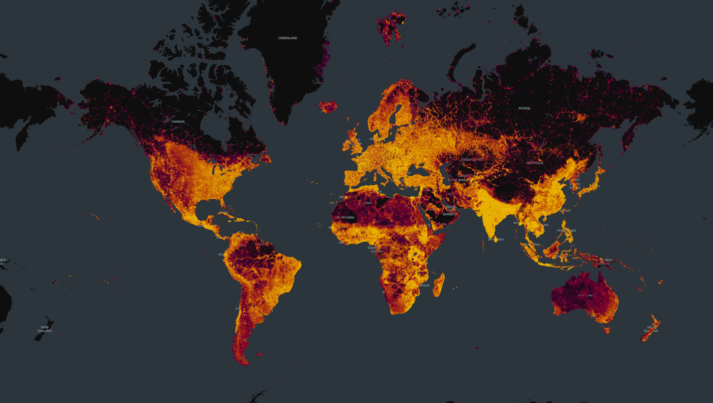
One of the most significant challenges in working with OSM and Overture data is the massive volume of data contained within both projects. It may surprise some people to learn just how much open, crowd-sourced geospatial data is out there, but it can be overwhelming. A complete, uncompressed OSM ‘planet’ file is just over 2 terabytes and requires significant compute resources to manage. In some cases there is even more data in Overture since it conflates OSM data together with other sources. For example, there are approximately 650 million building footprints in OSM, but Overture adds nearly 2 billion more (some sourced from Esri Community Maps) for a total of just over 2.5 billion!
There are a few things we do to contend with these large datasets.
First, we streamline the ingestion process by doing as much upfront pre-processing of the raw data as possible. We achieve this through commercial tooling, but our customers can use open source options like DuckDB to achieve similar results on a smaller scale.
Second, we partition the data geographically and parallelize the majority of the processing steps across multiple machines for more efficiency.
And third, we execute these pipelines within co-located cloud environments wherever possible for optimal data ingress/egress speeds.
5.How do you ensure the accuracy of the data products and location services you create?
We are fortunate that the two main open data sources we consume have a high degree of validation built into their respective projects. With OSM, there is an established global user community which prides itself on continuously expanding and improving the data they produce. While this self-regulation is at times inconsistent across different parts of the world, it provides an excellent starting point toward a reliably high-quality dataset.
Prior to the creation of the Overture Maps Foundation there was a project called the Daylight Map Distribution which took the OSM community validation a step further and implemented many automated checks for things like vandalism and invalid edits. The Overture project uses these same checks for the OSM data that it ingests, and has in fact expanded them over time. Data accuracy is an ever-evolving priority for the Overture project, and Esri’s involvement helps ensure that our customers are receiving an open data product they can rely on.
6.How crucial is high-quality data in the development and provision of location services?
Using high-quality data in the content products we release is critical for our users, otherwise they cannot rely on them to make decisions. One of the key aspects of the Overture project is that it draws on multiple data sources and conflates them together to produce the best possible output. As the project has matured, GIS professionals have come to recognize that it is a reliable source of global open data which they can confidently incorporate into their workflows.
7.What advice would you give to users or organizations when searching for or working with location data?
An often overlooked aspect of geospatial data is the license that accompanies the data. It is not uncommon to find data which carries a non-open license, or no license at all. It is important to understand the restrictions a given dataset carries based on its license, even if it is open in nature. With OpenStreetMap, the ODbL license it carries is generally open, but requires the user of the data to comply with specific provisions defined in the license. The Overture Maps data carries a variety of different open licenses which each have their own stipulations, though they all allow for most uses including commercial.
8.Throughout your experience working with global data, what has been the most surprising discovery you’ve made?
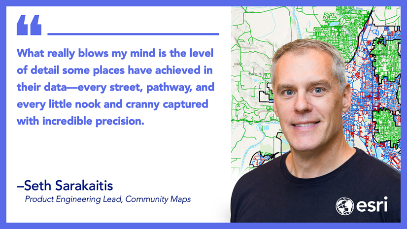
Over the years working with OpenStreetMap data I have been surprised many times by the level of detail and completeness that some cities and countries contain. The entire project is an amazing example of what a dedicated group of volunteers can achieve when they pool their collective knowledge and resources and focus on a singular goal.

9.What motivates you and your team to continuously strive for excellence in your work?
The best motivation is seeing the content that we have created being used in our customers’ day-to-day work. It validates our efforts and pushes us to continue improving and expanding on the layers we provide. This also contributes to a sort of positive feedback loop where continued adoption of open data increases visibility of said data, which in turn increases participation and improves the data quality.
10.Can you share any updates or improvements that you and your team are currently working on or planning to make in the near future to enhance the quality and functionality of your data and location services?
We’ve had OpenStreetMap feature layers accessible in Living Atlas for many years, and in 2026 we’re planning to begin rolling out Overture Maps feature layers as well. We are still in the planning phase, but we expect to publish a set of regional feature layers for commonly used datasets, e.g. buildings, roads and POIs. While the 2D and 3D basemaps we currently create from open data provide a great starting point for maps and apps, feature layers unlock the ability to further interact with the data and perform analysis. We are excited to bring this additional open data option to our customers in the coming months.
Open data provides users with access to a variety of map data. This serves as the foundation of many mapping projects and allows users to explore high quality, reliable, and accessible map data. Esri believes that building and maintaining an open global map creates reliable, easy-to-use, and interoperable map data for the globe. This is evident in Moore’s work as the team is dedicated to maintaining authoritative open data.
To learn more about Esri’s data offerings visit the ArcGIS Data site.


Article Discussion: