ArcGIS Living Atlas of the World provides foundation elevation layers and tools to support analysis and visualization across the ArcGIS platform. These layers get updated quarterly with high-resolution elevation data from open sources and community maps program. In this release, world elevation layers are updated with a few high-resolution elevation datasets as below.
Terrain and TopoBathy layers are updated with:
- Expanded coverage of USGS 3DEP 1-meter DTM’s covering partial areas of the conterminous United States.
- USGS 3DEP 5 meters DTM’s from ifSAR covering Alaska state of United States.
- Lidar derived 1-meter DTM covering the Moreton Bay region of Australia.
- Lidar derived 1-meter DTM’s from Geoscience Australia covering partial areas of Australia.
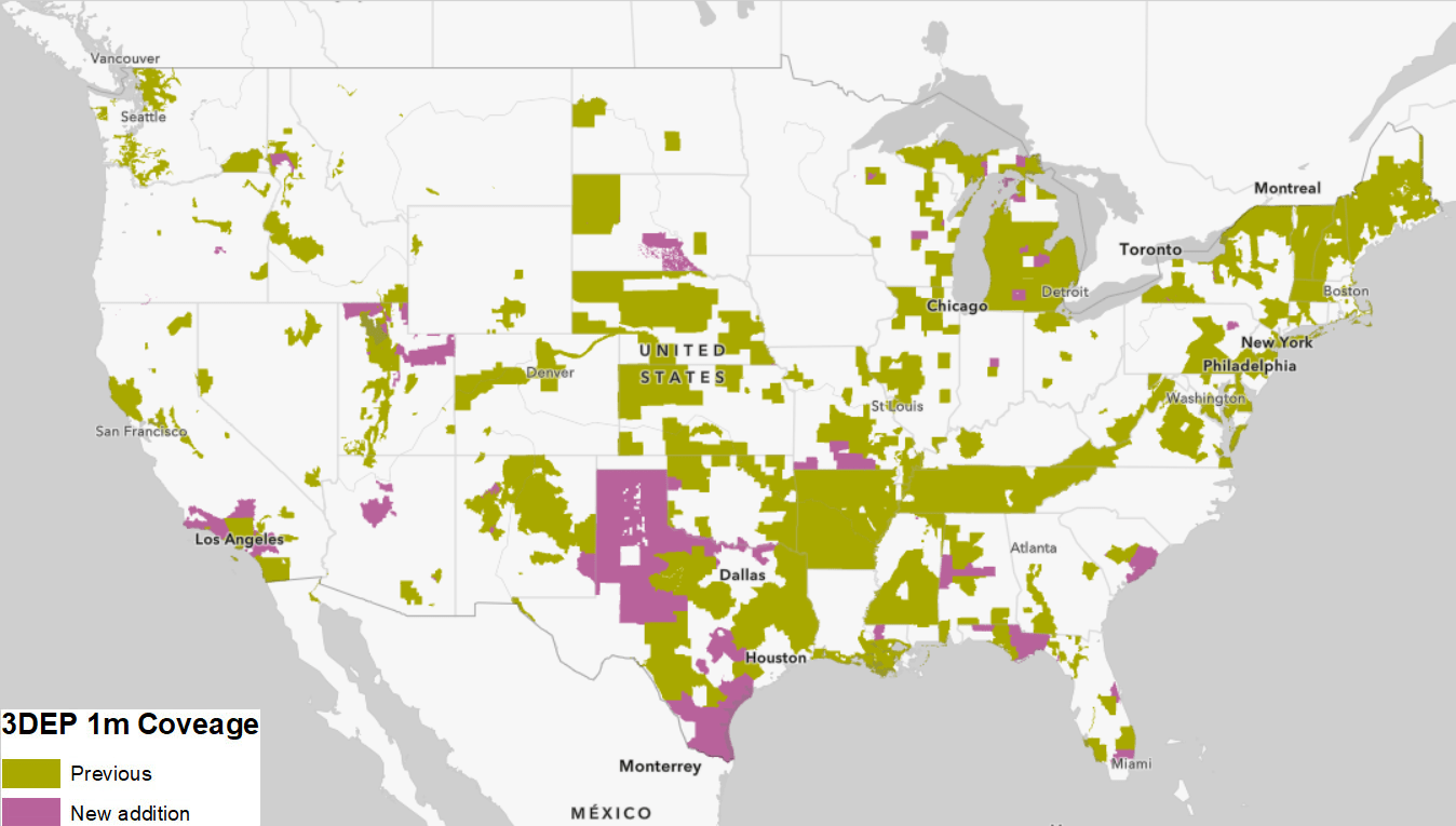
In this release, approximately 401,000 square kilometers of new coverage of USGS 3DEP 1 meter has been added. The graphic below shows the new addition (magenta) along with previously available coverage (green).
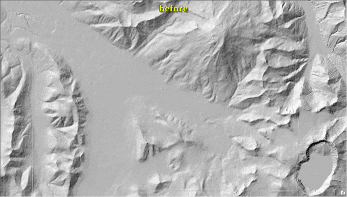
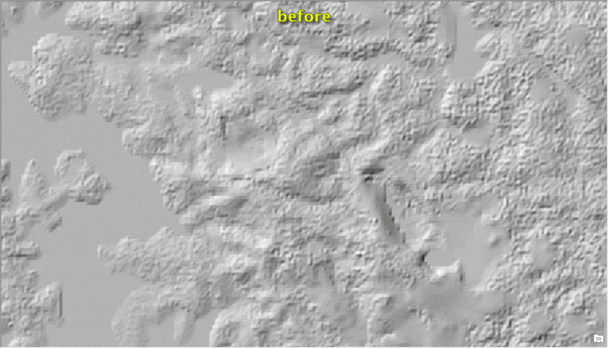
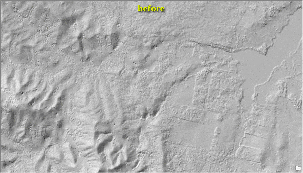
Here are a few examples highlighting the improvements with before and after images.
Simi Valley, CA, USA – fine details depicted with USGS 3DEP lidar derived 1 meter in a sub-urban landscape in comparison to old NED 10 meters
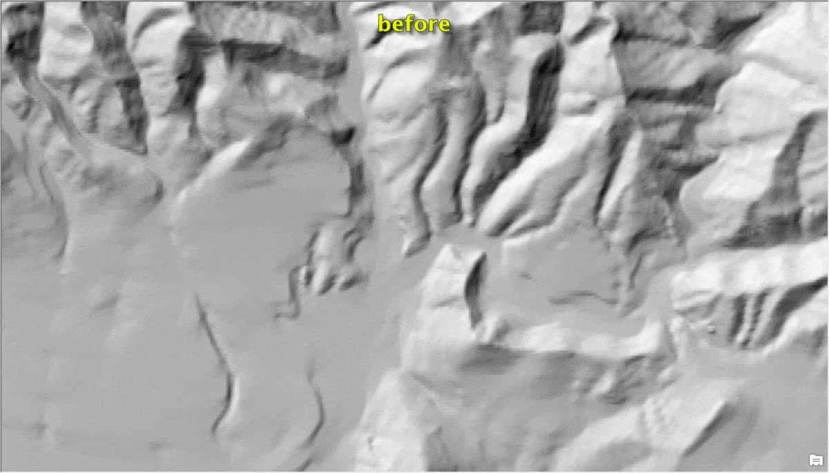
The Valley of Ten Thousand Smokes, Alaska – landscape details depicted with USGS 3DEP ifSAR derived 5 meters in comparison to old USGS 10 meters
Whiteside, Queensland, Australia – depicting the fine details of quarries and hilly landscape with lidar derived 1-meter data in comparison to WorldDEM4Ortho 24 meters
York Town, Tasmania, Australia – depicting the fine details of a hilly landscape with lidar derived 1-meter data in comparison to WorldDEM4Ortho 24 meters
These data updates will be rolled out to the other world elevation derivative products – Elevation 3D (Terrain3D and TopoBathy3D) and Hillshade (World Hillshade and World Hillshade Dark) by the next quarter.
For more information about the various data sources available in World Elevation services, check out the Elevation coverage map. You can help to improve these services by contributing high-resolution elevation data to Living Atlas of the World. To participate and learn more, check out the Esri Community Maps for Elevation program.


Article Discussion: