ArcGIS Living Atlas of the World provides foundation elevation layers and tools to support analysis and visualization across the ArcGIS platform. In this release, world elevation layers (Terrain and TopoBathy) are updated with following elevation datasets:
- Lidar derived 1, 5 and 10 meter DEMs covering Estonia from Estonia Land Board
- Lidar derived 0.5 meter DEM covering Grand Geneva metropolitan region of France and Switzerland from SITG
- Lidar derived 5 meter DEMs covering Austrian States of Tyrol and Carinthia from Land Tyrol and Land Carinthia respectively
- Updated 1 arc sec (~ 30 meter), 1/3 arc sec (~ 10 meter) and 2 arc sec (~ 60 meter) covering North America, United States and Alaska respectively from USGS 3DEP
- Updated 2 meter coverage of England from Environmental Agency
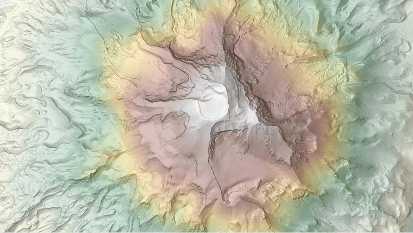
Let’s see a few examples highlighting the improvements.
Vijandi, Estonia – fine details depicted with 1 m lidar DTM (bottom) in urban area over WorldDEM4Ortho 24 m (top)


Geneva, Switzerland – fine details depicted with 50 cm lidar DTM (bottom) in city over WorldDEM4Ortho 24 m (top)


In this release, Slope Map and Aspect Map functions are enhanced to return class values and descriptions with legend instead of 3 band RGB values. This enhancement will also allow you to change the pre-defined symbology from client side (desktop or AGOL).

Elevation Analysis Tools:
With this release, elevation analysis tools (Profile, Viewshed and Summarize Elevation) no longer charge credits and are free with an AGOL subscription.
Analysis tools now include 10 meter Estonia data, which means if you run these tools over Estonia using desktop clients (ArcGIS Pro, ArcMap) and select DEM resolution as 10m or Finest, the analysis will be performed using 10 m Estonia data.
The elevation profile web application template available via ArcGIS Online configurable apps uses the ‘Finest’ DEM resolution as default and will automatically use 10 m data in Estonia.
These data updates will also be rolled out to other world elevation derivative products – Elevation 3D (Terrain3D and TopoBathy3D) and World Hillshade in this quarter.
For more information about the various data sources available in World Elevation services, check out the Elevation coverage map. Esri will keep improving World Elevation Services, Tools and derivative products by including high resolution data from open source and the Esri Community Maps program. Additionally, to contribute high-resolution elevation data to Living Atlas of the World, check out the Esri Community Maps for Elevation program.


Commenting is not enabled for this article.