Forget those foreboding statements about the impending cold…winter is here! That means ear-freezing temperatures, clumsy near-misses on icy sidewalks, and aching backs from shoveling snow. Now there’s a lot of weather information out there to help you plan how much milk and bread to buy before the big freeze hits, but in the U.S. it’s best to always get it from the official source – the National Weather Service.
Luckily, we make that pretty easy with layers directly from NWS in ArcGIS Living Atlas of the World.
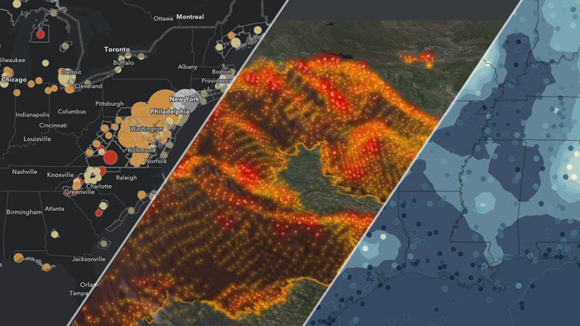
So in the spirit of those late-December countdowns, here are my Top 5 Winter Weather Maps.
#5 Winter Weather Watches and Warnings
I like details about how bad its going to get – and that’s where the USA Weather Watches and Warnings come in. With dozens of categories that describe every permutation of weather that is possible, these maps update every 5 minutes. I’ve simplified this map to highlight the winter weather categories using some definition queries/filters

#4 Gusting Winds
We’ve all felt that bone chilling gust cut through our coat and three layers of clothing – and that’s one reason I moved to the desert, so I’ll never have to deal with it again on my commute to work. This map provides the forecast for wind speed and gusts, represented with both contoured values along with the directional arrows. And unlike those crazy meteorologist’s maps, these arrows point in the direction the wind is moving, not where its coming from.

#3 Ice Accumulation
The only ice that I like is the Italian kind. But unfortunately, many people have to deal with icy streets, sidewalks, and windshields. This 72-hr forecast for ice accumulation can be displayed as the 6-hr time series, the accumulation by each time step, or the total accumulation over the 72-hr period.

#2 Snow Accumulation
Kids scream with joy; adults scream with agony. There’s nothing worse than having to dig out 3-ft of snow from your driveway…and then realize there’s even more sidewalk that needs to be done. The map updates every 6-hrs with the latest forecast, and like ice, can be displayed by time step, time accumulation, or total accumulation.

#1 Current Winter Weather Conditions
Using the Current Weather and Wind Station Data layer from Living Atlas, this map can show a lot of things, but here I’ve duplicated the layer a few times and combined things like air temperature, wind chill, wind speed, wind direction, etc. Zoom in and some of those other details appear.

Like all things in Living Atlas, you can combine multiple elements. For instance, in this map I merged the watches and warnings map with the current conditions. If you are already using some of these layers in your maps, make sure you’re using the latest and greatest versions!
So make a cup of hot cocoa, throw on an extra blanket, and pop a few ibuprofen for that back…winter has come!
Lastly, thanks to Emily Meriam for developing some pretty cool new color palettes for the NDFD weather forecast models.
For questions or comments about this blog, please visit our GeoNet.


Commenting is not enabled for this article.