August 16, 2022 | Multiple Authors | Mapping Using Living Atlas content to study current and future threats to global food security
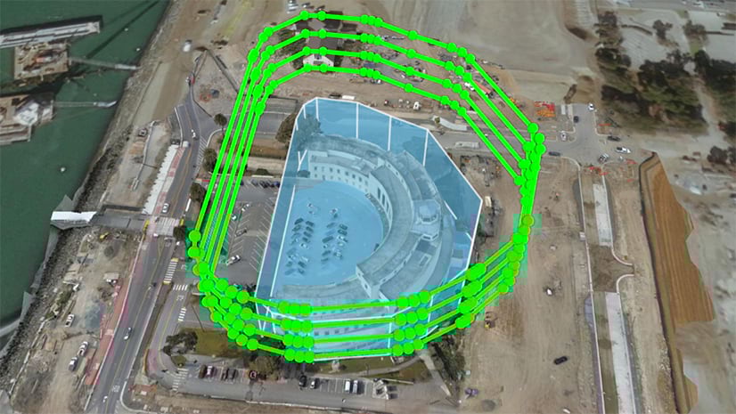
August 12, 2022 | Andreas Lippold | Architecture, Engineering, and Construction GIS and BIM: The Benefits of Integration
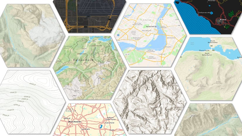
August 8, 2022 | Bern Szukalski | Mapping Apply local focus to Living Atlas content using blending and effects
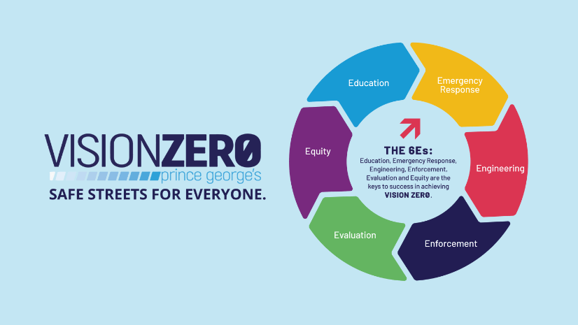
August 3, 2022 | Multiple Authors | Transportation Vision Zero Prince George’s Roadmap to Preventing Traffic Fatalities
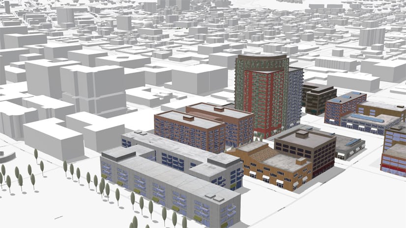
July 20, 2022 | Bern Szukalski | 3D Visualization & Analytics Use Living Atlas 3D OpenStreetMap layers to add context to scenes
July 19, 2022 | Bern Szukalski | Mapping ArcGIS Living Atlas questions from the 2022 Esri User Conference
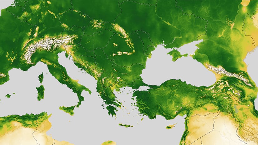
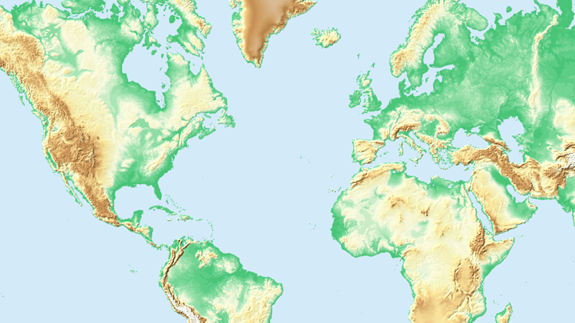
June 30, 2022 | Rajinder Nagi | Announcements High resolution data updates to Living Atlas World Elevation Layers and Tools (June 2022)
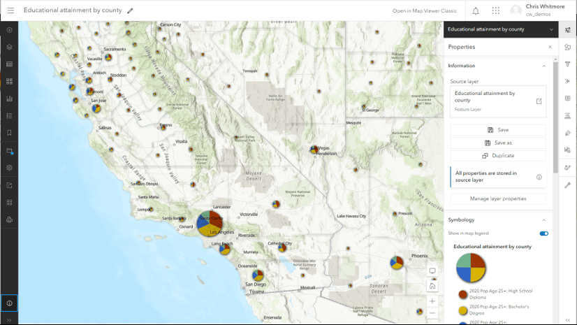
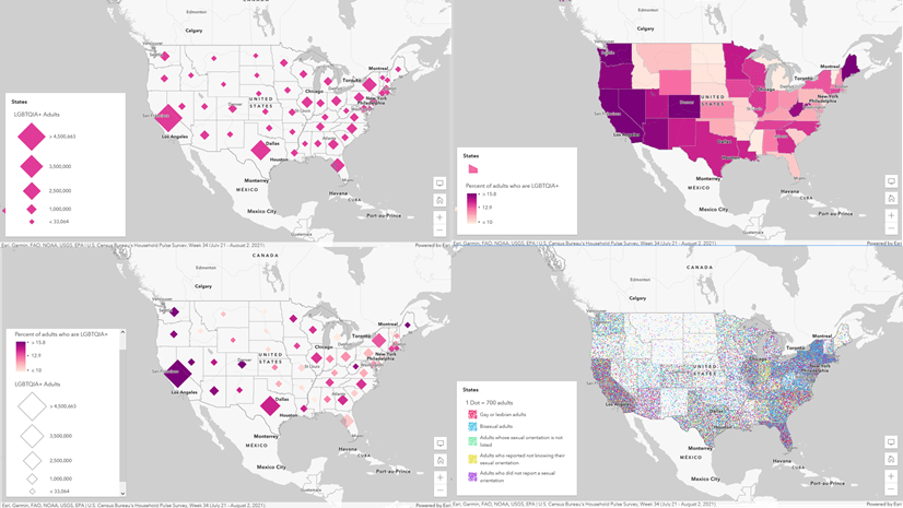
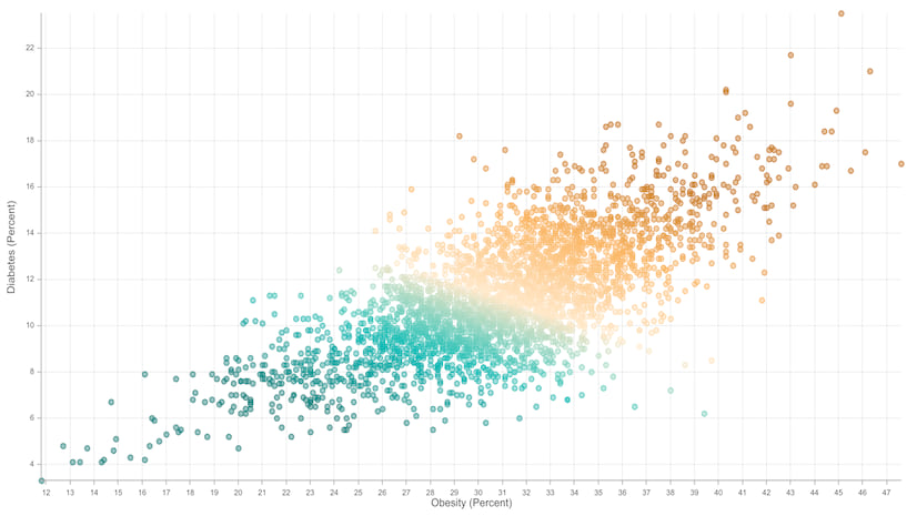
June 30, 2022 | Multiple Authors | Mapping Thematic Mapping 101: How to ask and answer questions in a map
June 29, 2022 | Julia Holtzclaw | Analytics Broadband Access within your Community – A Geographic Approach
June 28, 2022 | Rich Nauman | Data Management Handling Rowdy Fonts: Four Tips for Better Layer Descriptions
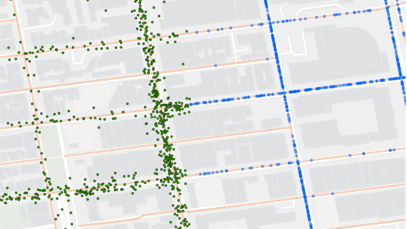
June 27, 2022 | Bethany Scott | Analytics Map matching with the new GeoAnalytics Desktop tool Snap Tracks