The fire season descends on California, and other arid areas globally, every summer and fall. Insurance companies expect these fire events to be more devastating into the future. In the last weeks of October, fires destroyed nearly 200 residential and commercial structures in southern California. When natural disasters such as these occur, imagery plays a key role throughout many phases of the disaster. Satellites, airplanes, and drones collect data whether it’s for managing active fires to ensure public safety, assessing property damage, as well as recovery and rebuilding efforts. Drone technology has been a successful tool in collecting high quality imagery data to process insurance claims and or manage disbursements of federal disaster relief funds from national governments.
The public can be leery at times having drones fly over their residences collecting data, especially if they were not directly impacted by the disaster. Using the Pixel Editor included with the ArcGIS Image Analyst extension, you can easily address any privacy concerns from property owners before making the data publicly available to the impacted community.
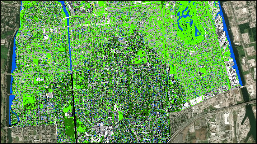
In the image below, we’re looking at a neighborhood north of Hollywood in the foothills. This area is east of the recent Getty Fire. To demonstrate the Pixel Editor’s redaction capabilities for multispectral or panchromatic imagery, let’s focus our attention on the large square house in the middle of the image.

The Pixel Editor has several redaction techniques available. Let us review the output of each technique available on the Pixel Editor Operations pane. In the first example below, we can see the effect of the Pixelate operation. Pixelate obscures the selected area of interest by resampling to an exaggerated pixel size. Use the Factor parameter to increase or decrease the effect.
Here we are taking a look at the Blur capability. Blur also has a Factor parameter to increase or decrease the effect.

The next result is the Redact operation. Redact will black out the selected area of interest.

Lastly, is the option to set the area of interest to NoData.

Whether you are redacting prison rooftops for public safety, addressing privacy concerns, or protecting fragile ecosystems, the Pixel Editor has the tools to help you succeed.

Commenting is not enabled for this article.