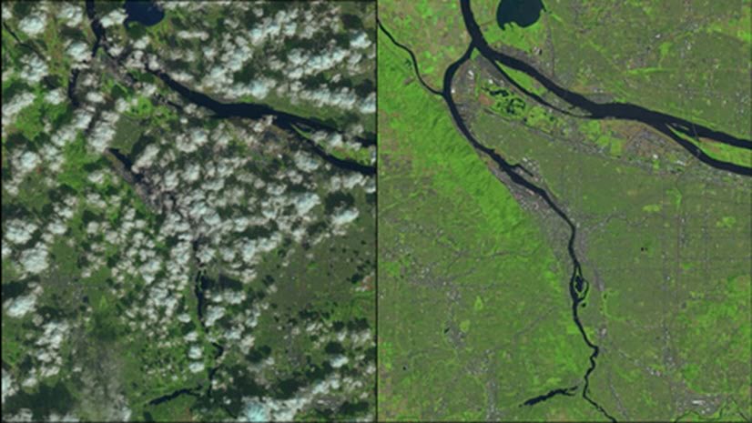
Do you have blemishes in your image products, such as clouds and shadows that obscure interesting features, or DEMs that don’t represent bare earth? Or perhaps you want to obscure certain confidential features, or correct erroneous class information in your classmap. The Pixel Editor can help you improve your final image products.
After you have conducted your scientific remote sensing and image analysis, your results need to be presented to your customers, constituents and stakeholders. Your final products need to be correct and convey the right information for decision support and management. The pixel editor helps you achieve this last important aspect of your workflow – effective presentation of results.
Introducing the Pixel Editor, new in Pro 2.4
The Pixel Editor, in the Image Analyst extension, provides a suite of tools to interactively manipulate pixel values for raster and imagery data. It allows you to edit an individual pixel or groups of pixels. The types of operations that you can perform depends on the data source type of your raster dataset.
The Pixel Editor tools allows you to perform the following editing tasks on your raster datasets:
- Edit multispectral and single-band imagery.
- Edit elevation data to fill voids, and remove spikes or holes.
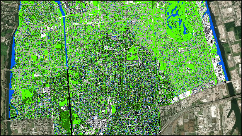
- Reclassify pixels, regions, or objects.
- Reclassify pixels using feature data.
- Use preset filters to smooth areas.
- Remove above ground features to create a bare earth elevation surface.
- Replace a cloudy region with another region of pixels.
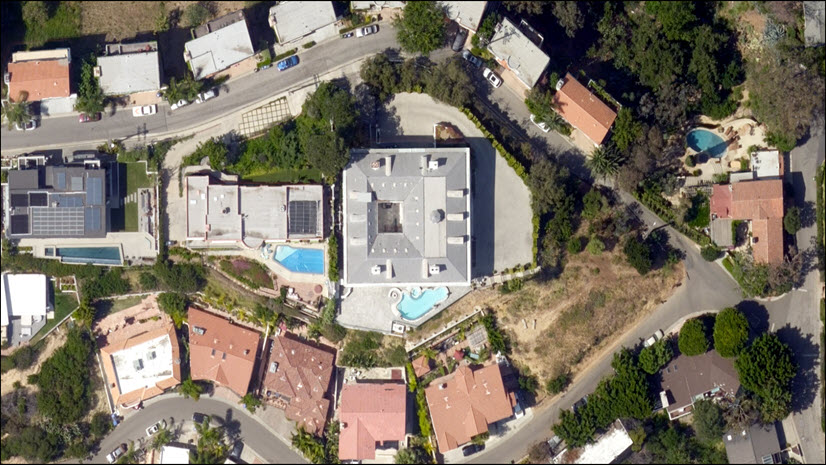
- Obscure or redact confidential pixels
Blog Series
We will present a series of blogs addressing the robust capabilities of the Pixel Editor. We will focus on real-world practical applications for improving your imagery products, and provide tips and best practices for getting the most out of your imagery using the Pixel Editor. Stayed tuned for this interesting and worthwhile news.
Your comments, inputs and application examples of the Pixel Editor capability are very welcome and appreciated!


Commenting is not enabled for this article.