
Happy Earth Day!
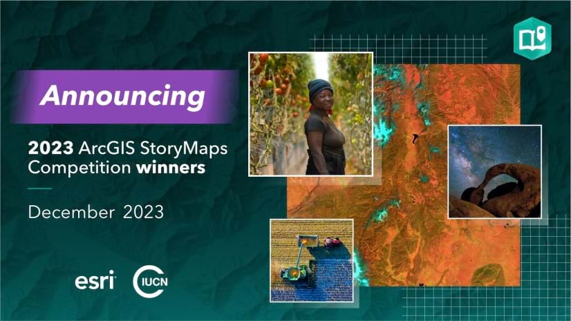
Esri and the International Union for Conservation of Nature (IUCN) co-hosted the 2023 ArcGIS StoryMaps Competition, which challenged storytellers globally to create stories about conserving the Earth’s lands and waters. On December 7, 2023, Esri announced the competition winners in two tracks, along with special award winners.
For the Crafting Conservation Stories Series, Esri’s StoryMaps team sat down with the 2023 competition winners for the “story behind each story.”
- Read our interviews with the winners.
- Get their tips and best practices for telling stories with maps.
- Learn about their storytelling challenges — and solutions.
- And discover how the winners include local voices in their stories.
Read some highlights from the interviews below.


Great stories inspire
The StoryMaps team spends a whole lot of time searching for, reading, and then sharing your stories. Why? OK, we admit it — we have a thing for storytelling. But there’s something more important at play.
Every year, we interview our competition winners. And every year, we ask “What advice would you give other storytellers?” Without fail, we consistently hear the same answer: Check out what other storytellers are doing!
To help you do that, we maintain the ArcGIS StoryMaps gallery: a curated selection of exemplary stories, briefings, and collections by storytellers from around the world, with new content rotated in regularly to keep the experience fresh. Filter the gallery to find content by topic, product feature, and more, or just browse through some beautiful examples. It’s no coincidence that so many of our competition award winners appreciate the opportunity to explore, get inspired by, and pick up best practices from what’s already out there; Katie Gaut and Mark Thompson of Blue Water GIS, who worked on the story that captured the top prize in one of the competition tracks, are no exception.

We recommend a regular browse through the ArcGIS StoryMaps gallery...There’s so much amazing inspiration out there to spark the next great story!
Looking for even more stories and resources? No problem — we’ve got you covered. Last year, The StoryMaps team launched StoryScape, a digital magazine celebrating place-based storytelling. Each monthly issue covers a different theme and includes a featured story and storyteller, additional topical stories, and, as a bonus, related blog posts and embedded ArcGIS content to support your GIS and storytelling journey.
Visit the StoryScape home page and find an issue that inspires you.
Less is more
If you’ve tried ArcGIS StoryMaps, you already know this. The builder is intuitive, fun, and a good entry point to GIS.
The “telling a story” part of storytelling, on the other hand, offers a few more challenges.
The recent interview comments mirror what we hear from you in workshops, events, and one-on-one discussions. You are excited about your stories. There’s just so much content and so much to say. It’s not easy to narrow it down into a multi-media narrative that engages an audience from start to finish.

One of our main goals has always been to engage the people who are most impacted by our work. Between collecting side-scan sonar data, GPS coordinates, and information about the species within the derelict crab pots, it felt like we were drowning in data!
We like the approach that Ella Ashford and Riley Forth took to manage their overwhelming volume of content as they put together the winning student story in one of the tracks. They strategically leveraged the interactive blocks in ArcGIS StoryMaps, in this case sidecar, to display similar information sequentially, as snapshots.

Other storytellers often begin with a simple content outline like the one described in Planning and outlining your story: How to set yourself up for success, our most widely-read ArcGIS StoryMaps blog post.
Local voices drive engaging content

The communities are the protagonists...that's the key part.

Last year, Esri combined the annual ArcGIS StoryMaps Competition and Tribal ArcGIS StoryMaps Competition into one larger storytelling contest to recognize the critical role of Indigenous peoples and local communities in conservation, science, and sustainability efforts.
And the winning stories reflect local perspectives in the narrative, maps, and media.
In Living Territories, the Amazon Conservation Team frames the story of conservation, local communities, and land rights by placing custom graphics of community members literally on the map.
The central role of local communities continues throughout the narrative and the multi-media elements, including photos, audio clips, and quotes.

The thoughtful and comprehensive multi-media portrait reflects the Amazon Conservation Team’s extensive work with communities over time.
Brian Hettler, mapping director at Amazon Conservation Team, shares: “The maps provide a common language and place for sharing stories, facilitating communication within the communities and helping to bridge cultural divides between elders and young Indigenous peoples, or between Indigenous and non-Indigenous peoples.”
Maps — and supporting features — take the lead
In the Crafting Conservation Stories interviews, we asked each competition winner to share their favorite feature in the ArcGIS StoryMaps builder. Every storyteller mentioned maps, especially ArcGIS StoryMaps features for sharing map content.
From tree growth to dolphin identification, several stories use map tour in innovative ways.

The trees are an essential part of the ecosystem on the traditional lands of the CSKT. The explorer map tour helped us depict caging cones, starting seeds, and growing forests.
Others use map actions to offer readers extra story content through a few simple links.
In Ambassadors of the Amazon, Blue Water GIS presented dolphin habitat shifts over time with map actions.
Katie Gaut of Blue Water GIS explains: “Through map actions, readers can interact with the story directly to view male or female movements within their shared habitat. Map actions encourage reader engagement and provide some ‘choose your own adventure’ avenues.”
Petr Zálešák — doctoral student and author of Wind Erosion — offers some of the best storytelling advice for new authors:
“The most important advice is to begin and do your best to create your own story. Sometimes, the biggest challenge is taking the first step.”
Thank you to Petr and all our competition winners for your personal stories and advice. Read their interviews in the Crafting Conservation Stories Series as you prepare for the 2024 ArcGIS StoryMaps Competition — which will be announced at the Esri 2024 User Conference.


Article Discussion: