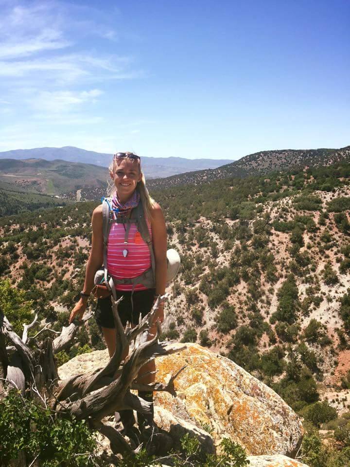
The story maps person.
Amanda Huber’s colleagues at Three Rivers Park District in Minnesota—where she works as a GIS Technician—know her best as the story maps person. And that suits Amanda just fine.
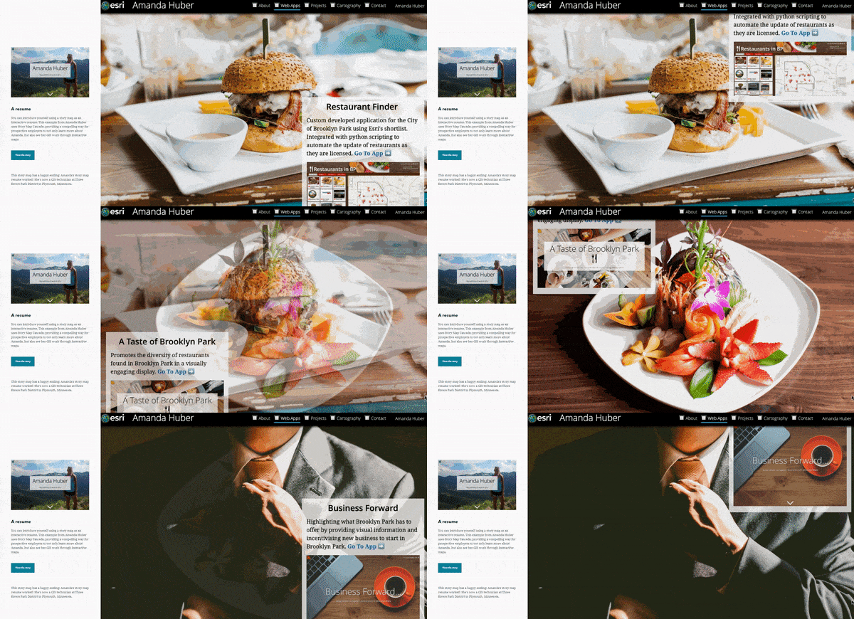
Amanda first caught our attention when she won Honorable Mention in the ESRI 2018 Storytelling with Maps Contest, Science and Tech Category for My Portfolio of Work in GIS, a visual resume and portfolio created in story map form. Through engaging graphics and embedded content, we learned about her GIS work—from story maps to cartography—and her academic work in Geological Sciences, GIS, and Communications from the University of Minnesota Duluth.
Amanda now builds innovative data-driven applications, story maps, and other GIS tools for Blue Water GIS and at Three Rivers Park District. To evangelize and scale her work, she creates resources and tutorials for her colleagues—she even teaches a story maps class.
We recently sat down with Amanda to learn more about her innovative work. Read the highlights from our discussion below.
Connect directly with Amanda through Twitter @Huber099 and LinkedIn at https://www.linkedin.com/in/amandahuber364/.
-Esri’s StoryMaps team

Your story map portfolio includes a wide variety of map and storytelling projects and products. Can you tell us a little bit more about that work and how you got started with story maps?
My very beginnings with story mapping reach back to when I was in a student-employee at the University of Minnesota Duluth’s Geospatial Analysis Center. I had never even heard of story mapping before then. In a very short time, I completed my first projects – two story maps that educated the public about hazard mitigation plans in Wabasha County and Freeborn County in Minnesota. The interactive platform completely changed the communication experience for the counties and residents.
I was hooked! And I realized the infinite potential for story maps. As I continued my career in GIS and transitioned into an internship opportunity at the City of Brooklyn Park, I created more story maps and ArcGIS Online Applications. As the internship came to a close, I found myself looking for a way to showcase my prior work for future employers and to extend my resume outside of an 8.5 x 11 sheet of paper, I turned to nothing other than a story map to do so.

Who was your audience? What was their reaction?
I added my story map’s short URL to my resume and sent it off to employers with my applications. Upon interviewing, I received great feedback for the creative way I presented my prior work. I’m happy to say I believe it was a huge force in my career success today, and I highly encourage any other GIS professionals, especially young professionals, to do the same.

What is some advice you’d give for effective communication and how to get the most out of your story?
The most important part of storytelling and story mapping is having a clear beginning, middle, and end. In my opinion, the beginning and end are everything. The beginning is where you can captivate your audience. The end is where you can rivet the audience with the story they just read or add a call to action.
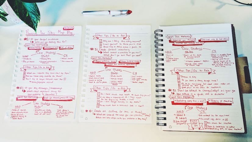
Start with an outline of your story and work the skeleton of it. This may sound cheesy, but it’s extremely effective. As you section out your content, think about natural breaking points, placement of photos and media, and the best template for your story. Do you need immersive sections and scrolling content, or are you focusing more on locations?
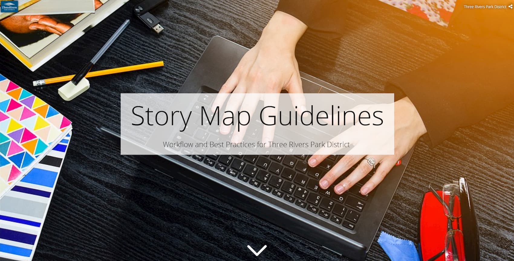
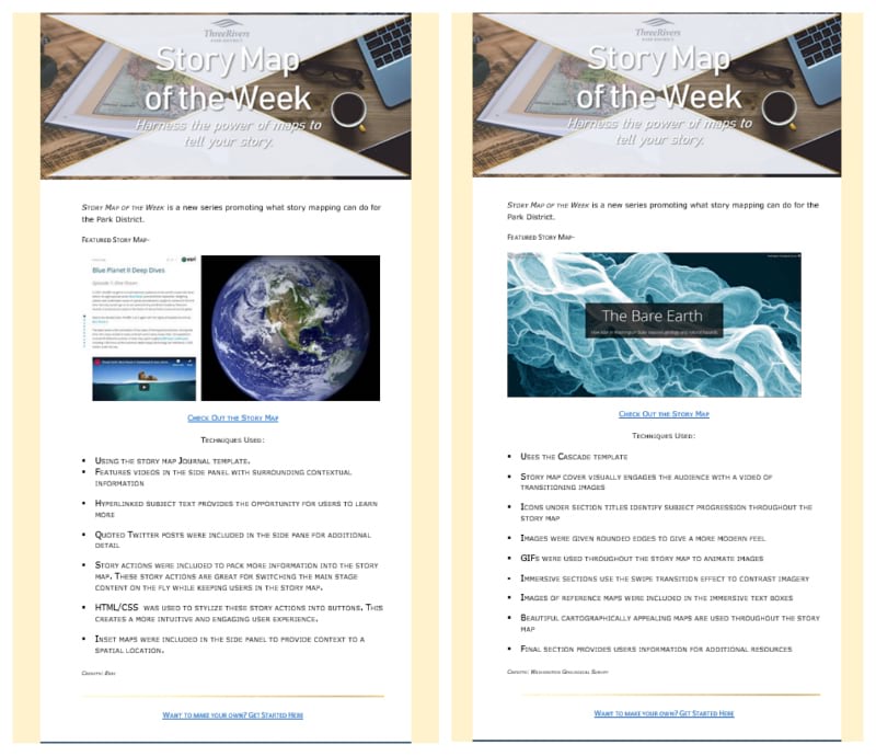
I actually created an instructional story map for the Three Rivers Park District that covers story map basics, templates, and other tips for beginners. It also covers things specific to employees, like logging in and branding. It’s been a great way to promote story mapping and empower users.

There are many ways to tell a story. How do you decide when to use maps vs text narrative vs photos vs videos or other media?
Although my use of media changes from story to story, I take the “less is more” approach to text. With story maps, I have the opportunity to engage readers with photos, maps, and videos—even embedded apps and web content. I can use with maps and infographics to explain spatial data or display tabular data in a visually appealing and user-friendly way.
In my decision-making, I always ask “how do I want the readers to interact with this content?” The answer dictates the form of the story and final mix of maps, media, and text.
My advice—don’t be afraid to experiment. And spend time reading other story maps for inspiration and best practices.

Can you share the different ways that you’ve combined story maps with databases and other GIS tools?
Sure. By publishing enterprise data to Portal or ArcGIS Server as a referenced service you can consume live enterprise data in web maps, dashboards, and surveys which all are great media that can be seamlessly included in story maps.
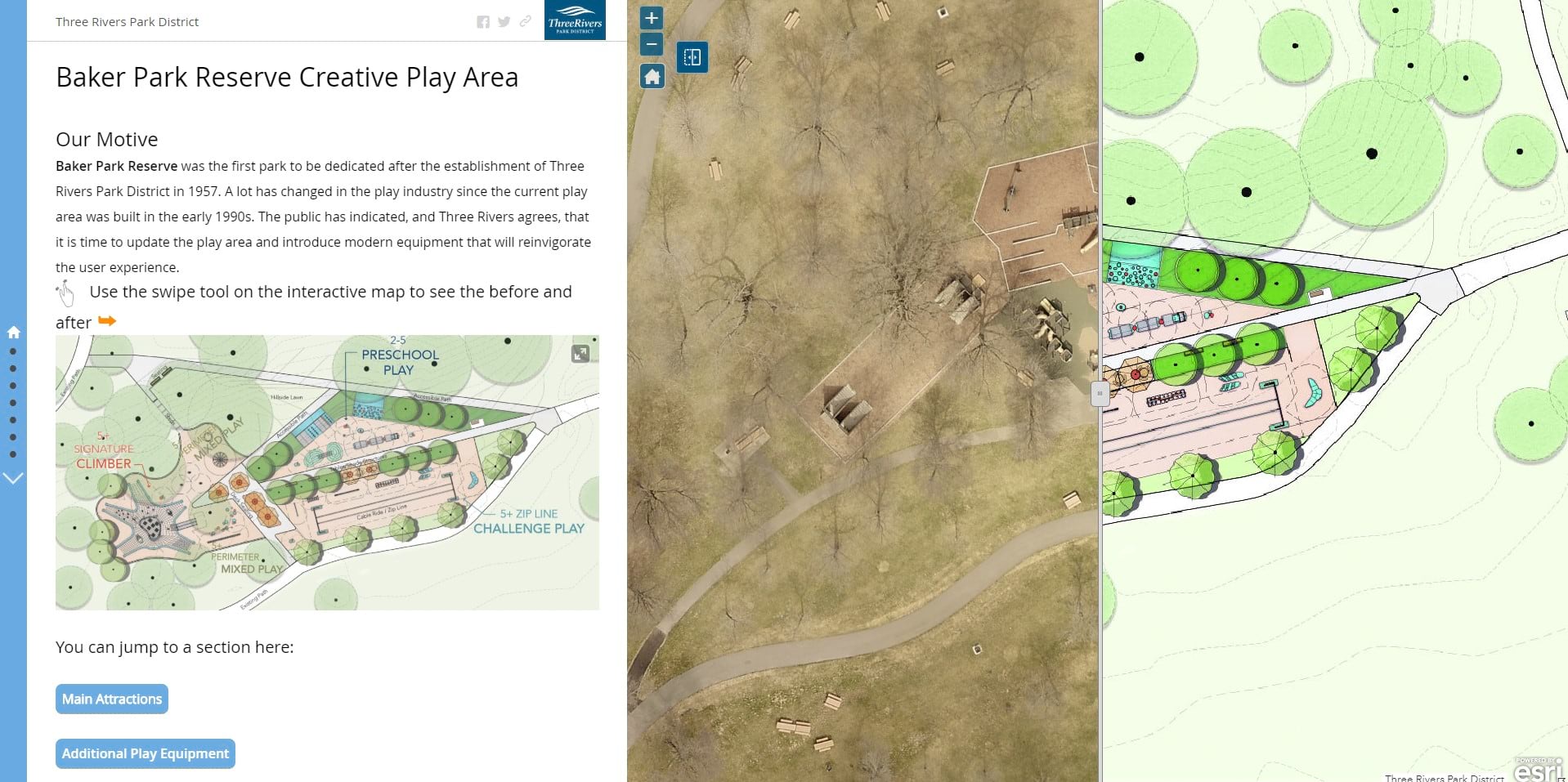
For example, I’ve been working on an interactive public outreach story map for a play area renovation in one of our parks. This story map uses the classic Journal template and leverages story actions to dynamically switch the main stage content and make for a more interactive experience. This story displays the concept designs that our Planning Department has been working on and features an embedded Web App Builder with a swipe widget that allows users to toggle between the before and after designs. At the end of the story map, we included a Survey 123 form so the public can vote on what play area equipment that they would like to see. On the back end, all of the collected results are displayed in a dashboard for the Planning Department. It’s been a great project that ties together many different Esri tools for a great cause.
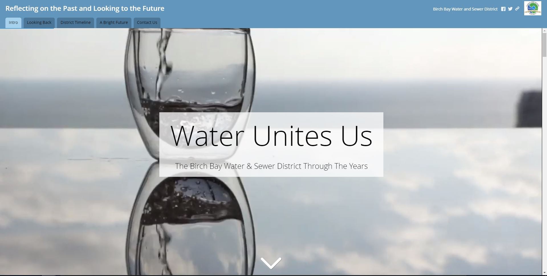
On a very different type of project, the owner of Blue Water GIS and I built a multi-dimensional story that included audio using Soundcite JS and an interactive timeline using Timeline JS and WAB Swipe. We tied it all together with a story map Tabbed Series. It was quite the project.

Amanda, you have been very active in alpha and beta testing for ArcGIS StoryMaps. As people transition from the classic templates to the new builder, what can they expect? What are the benefits? Challenges?
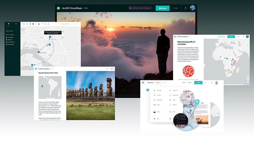
First and foremost, I can say that exciting things are coming! Express maps, text-wrapped photos, and sidecars are just a few exciting features.
With the new ArcGIS StoryMaps builder, the chains of siloed functionality for classic templates are broken. Before the new builder, authors needed to select one story map template up front. Many times, authors would find themselves starting in one template, running into a functionality limitation, then finishing in a different template. Basically, they had to recreate everything they started. The new story map template will allow users to mix and match different classic functionalities all in a one-stop-shop template. Like the feeling of a story map tour, but also the scrolling flow of a cascade template? No problem. With the new story map template, you can utilize both of these functionalities.
There is infinite potential for this new template and the story maps team is working hard to refine it. It’s still in the growing process, but give it time. I think it will be a game changer.



Article Discussion: