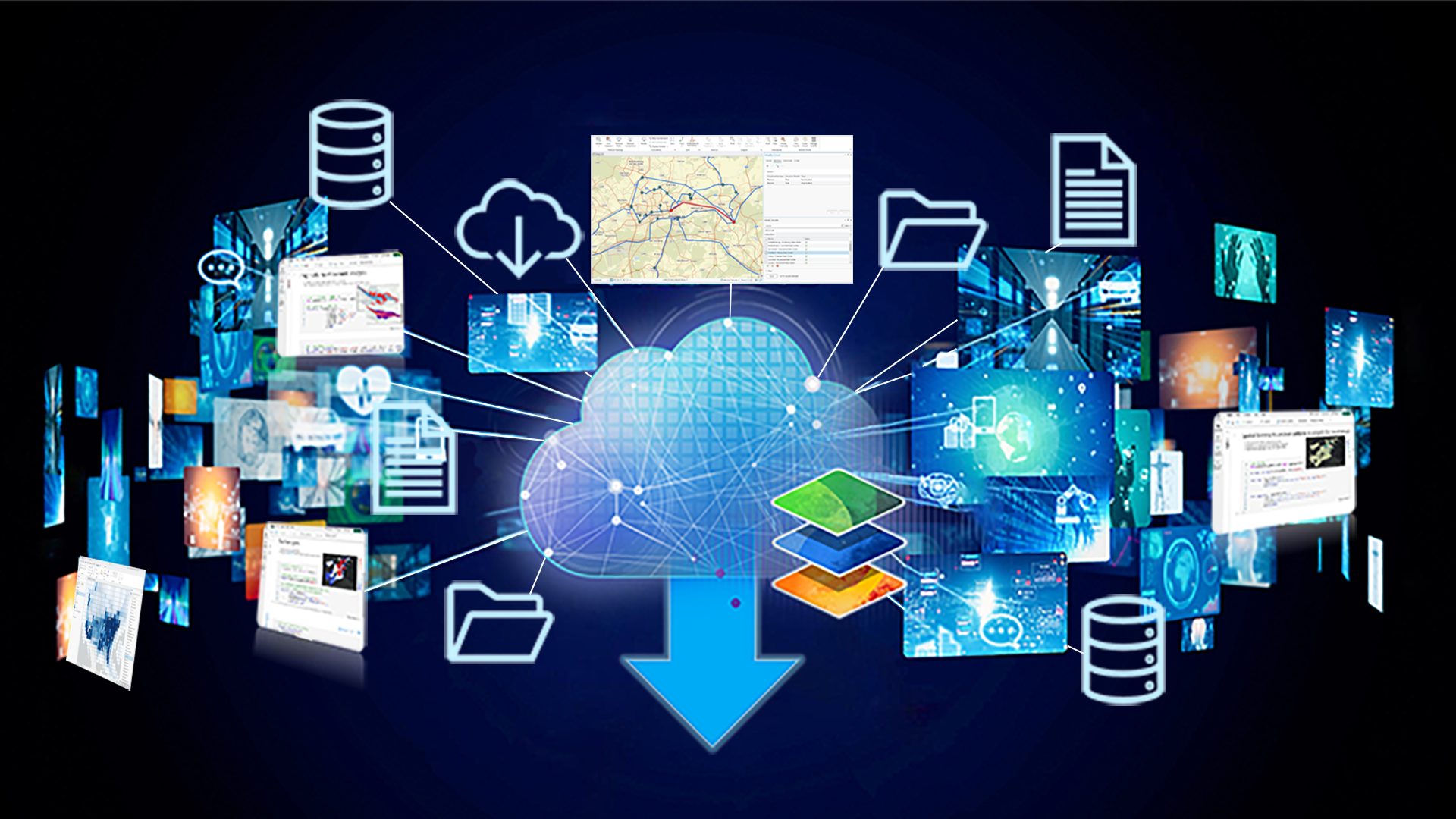
As organizations increasingly adopt cloud-based analytics platforms and data lakes as the center of their data strategy, ArcGIS offers data management capabilities that connect and integrate with these environments. What makes ArcGIS stand out is that it incorporates an organization’s existing data with geographic context, creating spatial intelligence that provides insight, drives innovation, and improves decision-making. Another aspect to ArcGIS is that it is an open and interoperable platform that empowers organizations to share their data, making it a versatile and effective tool that not only integrates with the modern data stack, but actively enriches it.
In the first entry of this blog series, we will explore how ArcGIS integrates with modern cloud analytics platforms; empowering users to work with their data where it lives.

Instead of forcing users to move data or choose between systems, ArcGIS integrates with modern cloud analytics stacks so spatial analysis, automation, and visualization run where they deliver the most value. From Spark-native analytics and Python APIs to intuitive mapping experiences inside platforms like Microsoft Fabric and supported data connections between ArcGIS and many cloud analytics platforms, ArcGIS supports cloud-first workflows while staying connected to the broader ArcGIS ecosystem. The result combines the scale and flexibility of cloud analytics with the depth, accuracy, and trust of ArcGIS geospatial capabilities.
ArcGIS supports flexible deployment models to align with these strategies. ArcGIS Enterprise can be deployed in cloud environments alongside your data. Meanwhile ArcGIS Online provides a fully cloud-native SaaS offering for scalable, managed GIS in the cloud.
Organizations can enhance workflows through ArcGIS integrations with cloud-based analytics platforms in two primary ways:
- Bringing ArcGIS spatial analytics and mapping into cloud analytics environments
- Integrating data from those environments back into the broader ArcGIS system.
Run ArcGIS spatial analytics directly in cloud analytics platforms
ArcGIS enables organizations to bring advanced analytics closer to their geospatial data by integrating directly with cloud analytics environments.
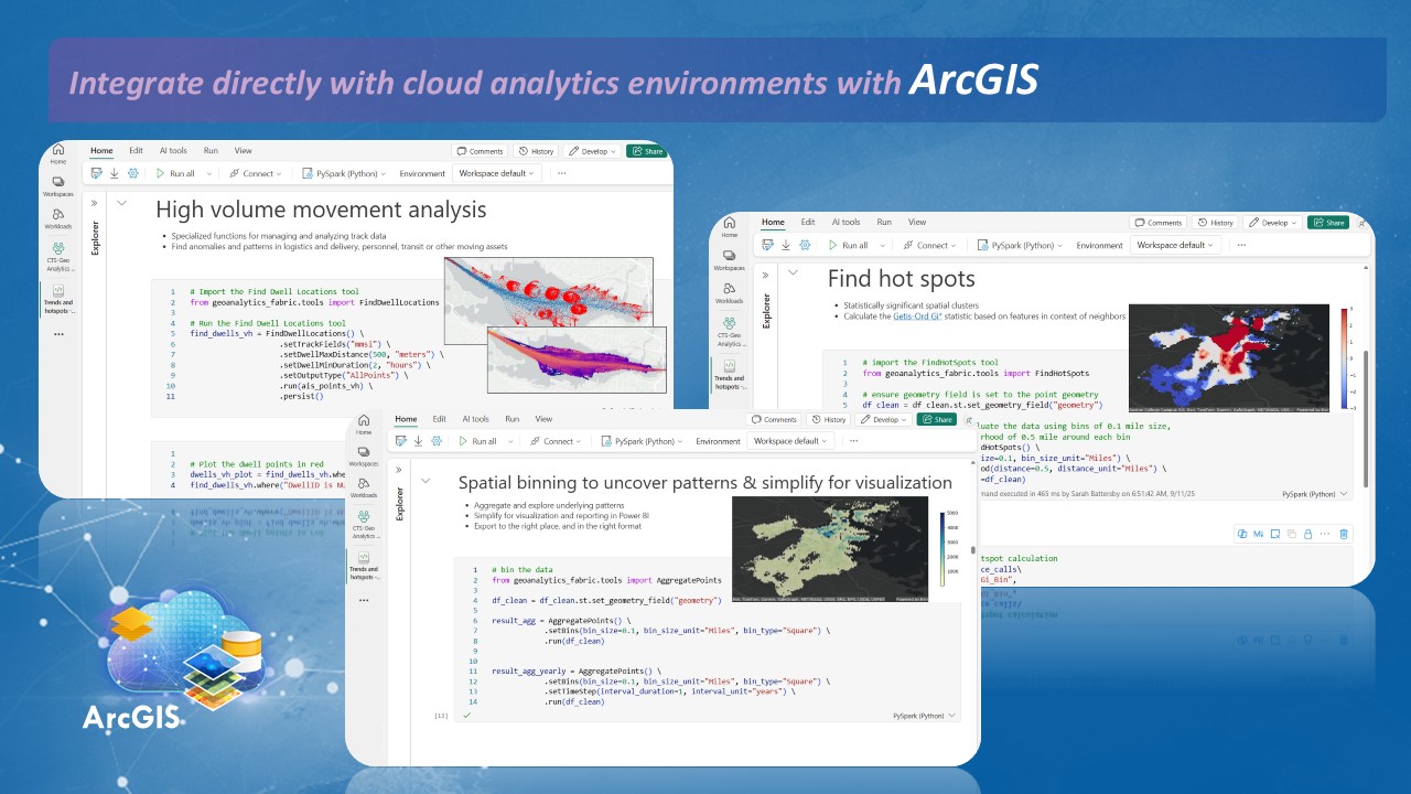
For developers and data scientists, ArcGIS GeoAnalytics Engine and ArcGIS GeoAnalytics for Microsoft Fabric bring a comprehensive set of geospatial functions and tools to Spark-based analytics environments. This includes environments such as Databricks, Azure Synapse, Microsoft Fabric, and AWS EMR. In these scalable environments, users can complete large and complex analyses more reliably and with better performance, without leaving the tools and workflows they already use.
Beyond the GeoAnalytics libraries, the ArcGIS API for Python also supports Python-based analytics in cloud platforms like Databricks. Each of these libraries connects back to the broader ArcGIS platform, allowing users to read from and write to data sources in ArcGIS Online and ArcGIS Enterprise.
Empower analysts with native mapping experiences
ArcGIS also supports analysts and business users with native mapping and visualization experiences inside cloud analytics platforms. Products like ArcGIS Maps for Microsoft Fabric and ArcGIS for Power BI bring trusted spatial context directly into familiar analytics workflows. That support also extends to continually expanding the capabilities available in these environments, including raster analytics and GeoEnrichment, while improving performance so users can get better answers to their queries when they need them most.
Bring cloud analytics data back into ArcGIS
Organizations can also connect results from cloud analytics platforms back into ArcGIS for visualization, additional spatial analysis, and sharing across ArcGIS Online and ArcGIS Enterprise.
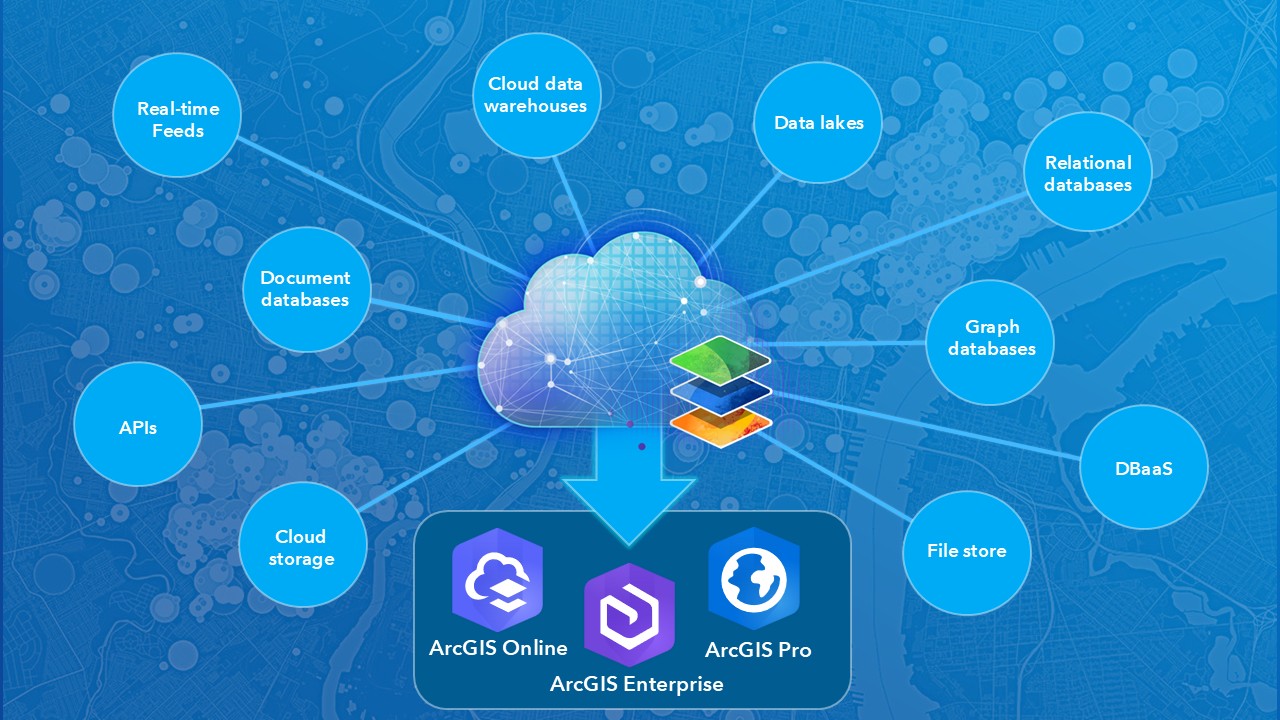
ArcGIS Online supports integrating data from cloud platforms through ArcGIS Data Pipelines, a no-code data engineering capability that allows users to create and automate data integration workflows. Data Pipelines includes connectors for platforms such as Snowflake, Databricks, and Google BigQuery, in addition to cloud object stores from AWS and Azure. Once prepared, data is written out to feature layers ready for downstream visualization and analytics in ArcGIS.
ArcGIS Pro and ArcGIS Enterprise support direct database connections to several cloud data warehouses, including Snowflake, Google BigQuery, and Amazon Redshift. These connections allow users to query and work with data in ArcGIS without unnecessary data movement. Future releases of ArcGIS Pro and ArcGIS Enterprise will extend cloud data warehouse support to include Databricks.
When integrating data from the cloud with ArcGIS Pro and ArcGIS Enterprise, it’s essential that your ArcGIS software is running in the same cloud and cloud region as your data for optimal performance. This, and other best practices when integrating data from cloud data warehouses with ArcGIS Pro and ArcGIS Enterprise are detailed in this ArcGIS Blog. Beyond integrating data from cloud data warehouses, ArcGIS Pro also supports cloud storage connections to Azure Data Lake, Amazon S3, Google Cloud Storage and more, allowing users to integrate raster and Parquet data for visualization, analytics, and sharing.
Host your enterprise GIS data in the cloud
Organizations can also take advantage of numerous supported database-as-a-service offerings from AWS, Microsoft Azure, Google Cloud, and more to host their enterprise geodatabases. Enterprise geodatabases are essential to GIS, as they support multi-user editing workflows through versioning and offer other advanced spatial data modeling and integrity capabilities as well. Using a cloud-based database service instead of a traditional relational database management system (DBMS) provides significant benefits, including improved scalability as data grows and easier manageability, since the cloud provider handles most maintenance tasks.
The list of database-as-a-service offerings that ArcGIS supports continues to expand. As many cloud platforms evolve beyond single-purpose data warehouses designed for analytics to support transactional workloads, we will evaluate them to explore adding support for using them as to host enterprise geodatabases on.
In this first entry of The Science of Where in the Modern Data Stack blog series, we have explored how ArcGIS integrates seamlessly with modern cloud analytics platforms, enabling organizations to run spatial analysis where their data lives, reduce unnecessary data movement, and connect results back into the broader ArcGIS system for visualization, analysis, and sharing. In the next entry, we will explore commonly supported integration methods along with recommended integration strategies to help you find the best fit for your situation.
If you would like to learn more about how integrating your cloud-hosted data with ArcGIS can empower better decision-making, drive efficiency, spark innovation, and provide spatial intelligence, please visit our Data Management website or join the conversation on the Esri Community. Additional information is also available on our ArcGIS Architecture Center website, or you can reach out to your local Esri representative.




Commenting is not enabled for this article.