The March 2023 release of Oriented Imagery features a new Oriented Imagery Explorer app, as well as quality improvements for the Oriented Imagery Management Tools and Oriented Imagery viewer. We’re also working on integrating Oriented Imagery into ArcGIS Pro and ArcGIS Online!

New Oriented Imagery Explorer app
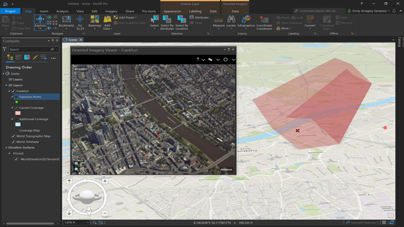
Check out the Oriented Imagery Explorer web app (replacing the 2D and 3D Oriented Imagery Sample Apps). Use the app to quickly explore and share oriented imagery catalogs.
The Oriented Imagery Explorer has a slick new look and upgraded functionality, including:
- The ability to add multiple oriented imagery catalogs to the app and toggle between them in the viewer
- 2D and 3D modes in a single app (switch between them using a URL parameter)
- A new Bookmarks widget (activated if there are bookmarks in the web map or slides in the web scene)
- A docked-by-default Oriented Imagery viewer, with the option to float the viewer
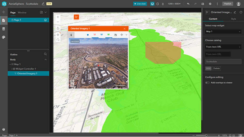
Check out the Oriented Imagery Sample Apps gallery to see examples of web apps created using both the Oriented Imagery Explorer app and the Oriented Imagery Experience Builder widget.
Additional quality improvements
We’ve made some updates in the Oriented Imagery viewer (accessible using the ArcGIS Pro add-in, the Oriented Imagery Explorer app, and the Experience Builder widget) and in the Oriented Imagery Management Tools. Download the latest versions of the ArcGIS Pro add-in and the Management Tools to take advantage of the changes.
In the Management tools:
- We’ve added support for Google Photo Spheres
- Nadir images for oriented imagery catalogs created from mosaic datasets are now north corrected
- We’ve made our reading of XMP tags more robust
- The Create Reference OIC tool now generates a valid service URL
- The Calculate Station ID field in the Exposures attribute table has been corrected
We’ve also made some changes to the Oriented Imagery API that will affect the Oriented Imagery viewer:
- The Oriented Imagery viewer now supports large images
- A heading of -999 will no longer cause an error
- For customers using a Postgres database, the image will now display in the viewer if an exposure point is selected on the map
- Depth images are now rendered properly when the depth image icon is selected
Finally, some users encountered an issue with the Oriented Imagery Experience Builder widget where a docked widget would toggle scroll bars on and off repeatedly; that bug has been fixed.
What’s next—integrating Oriented Imagery into ArcGIS
A long time in the making, we’re in the process of integrating Oriented Imagery into ArcGIS Online and ArcGIS Pro! I’ll have more details about the specifics of the integration and the expected timeline soon, so be sure to keep an eye out.


Article Discussion: