Last updated: Oct 22, 2025
ℹ️ This series covers hosted services in ArcGIS Online and ArcGIS Location Platform. See this overview for context.
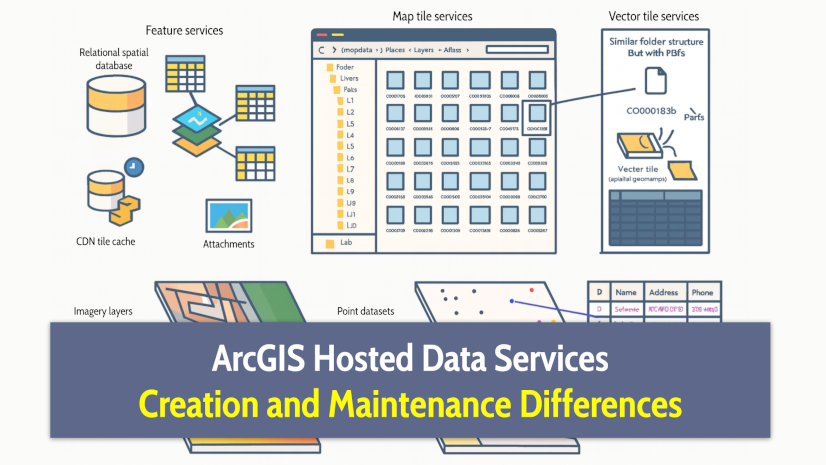
ArcGIS hosted data services pricing varies across both service types and products, while billing and terms of use depend only on the product. Knowing these distinctions will help you avoid confusion and extra costs.
If you’re planning to integrate these services into your applications or business systems (whether for internal use or commercial products), this article demystifies how it all works.
We will cover:
- Terms of use differences
- Pricing differences
- Understanding cost calculations
- Billing differences
- Conclusions
By the end of the article, you’ll see that, as with service types, each managed cloud product has its own strengths and is suited to different use cases.
Notes on accuracy: Surviving the test of time …
As introduced in the first article of this series, this series is a unified resource to save you time and clarify differences between similar technologies, based on information from official sources.
Technology evolves rapidly, so some details may become outdated. Each article includes references to official documentation, which contains the most up-to-date information. In case of discrepancies, the official documentation takes precedence.
If you find something unclear or spot an error, let us know at developers@esri.com. Your input helps us improve the clarity and accuracy of this content.
Terms of use differences
Terms of use are consistent across service types but differ between products, mainly due to the distinct purpose each product is designed for:
- ArcGIS Online was designed to make geographic information accessible, collaborative, and actionable across organizations with structured roles and internal users. Its vision is to empower everyone by simplifying access to spatial data and analysis tools for ArcGIS users, but also the general public.
- ArcGIS Location Platform was created to enable developers and businesses to build revenue-generating, location-aware applications without requiring users to sign in with ArcGIS accounts or needing a complete GIS system. It’s designed for commercial use cases where simplicity, scalability, and speed to market are key.
In short, ArcGIS Location Platform is better suited for commercial applications, while ArcGIS Online is designed for collaboration within or across organizations.
⚠️ Important note: You can’t combine services from different products in the same application unless explicitly authorized by a specific agreement.
Exceptions and special cases
Each product has defined terms and intended uses, but if your scenario falls outside those, a custom agreement might be possible.
Some example scenarios:
- If you’re considering using ArcGIS Online for commercial purposes.
- If you plan to use ArcGIS Location Platform to host data for offline apps or to display it with available 3D basemaps.
If you’re a customer, partner, or evaluating our technology, contact your account representative, partner manager, or sales team with any questions.
Reference links for master agreements and terms of use
For more details on the terms of use, refer to:
- ArcGIS Online: Esri Master Agreement and Terms of Use, and specifically Product-Specific Terms of Use (E300).
- ArcGIS Location Platform: ArcGIS Location Platform FAQ about licensing
Pricing differences
Now that we know when to use each product, let’s see how pricing differs across products and services.
Product pricing differences
Hosted data service pricing differs by product, not only in cost but also in how and when charges apply.
The following table outlines these main differences:
| Aspect | ArcGIS Online | ArcGIS Location Platform |
|---|---|---|
| Pricing model | Annual subscription + usage fees1 | Pay-as-you-go |
| Getting started | 21-day free trial | No-cost subscription with free tier2 |
| Service usage billed in | Credits1 | U.S. Dollars |
| Payment timing | Upfront | Post-usage |
(1) Usage fees: Except for those organizations using Premium Feature Data Stores.
(2) Free tier: For storage, the free tier works on a daily basis, as explained below.
About Premium Feature Data Stores
This capability is for organizations that require intensive querying, editing, analysis, or extract, transform, load (ETL) workflows. The enhanced data store provides dedicated database resources that aren’t shared with other ArcGIS Online tenants, ensuring your service performance isn’t affected by other users’ activity and increasing your compute capacity. It’s designed for teams managing large datasets, supporting many concurrent users, or running complex geospatial operations.
Unlike the standard model, which charges credits based on usage, the Premium Feature Data Store uses a fixed-price model and dedicated database resources.
Find more information about the technical capabilities of Premium data stores in the ArcGIS Online: Road Ahead and Best Practices with Hosted Feature Services.
In summary:
- ArcGIS Online requires an annual paid subscription through user types, which include a pool of credits. Additional credits can be purchased as needed, and a 21-day free trial is available for evaluation.
- ArcGIS Location Platform has no upfront cost. Instead, you are billed monthly based on actual usage, with charges calculated in U.S. dollars. A free tier (applied monthly for most services and daily for data storage) is included to support low-volume usage.
Service type differences
The first step in estimating pricing is to identify which metrics drive each service’s cost, which depends on the product.
This information is summarized in the following table:
| ArcGIS Online | ArcGIS Location Platform | |
|---|---|---|
| What’s charged in hosted tile services | Tile generation File storage |
Tile generation1 File storage Bandwidth |
| What’s charged in hosted feature services |
Feature storage |
Feature storage File storage Bandwidth |
It’s important to note that:
- The price of each metric varies depending on the specific product.
- For high-volume usage, purchase orders provided through Esri sales may be in place and can impact the final pricing and overall costs.
What does high-volume usage mean?
For ArcGIS Location Platform, based on the pricing page information:
- Tile generation: 1M tiles/month
- Tile bandwidth: 11TB/month
- File storage: 40TB/month
- Feature storage: 1TB/month
- Feature bandwidth: 6TB/month
In summary, the main differences in how hosted data services are charged are:
- The same data service will be priced differently across products.
- Hosted tile services are priced based on file storage and tile generation.
- Feature services are priced based on file storage and feature storage.
- ArcGIS Location Platform charges for bandwidth usage across all services.
Detailed pricing information can be found on:
- ArcGIS Online documentation: Credits by capability.
- ArcGIS Location Platform: Pricing page and FAQ.
Note: ArcGIS Online shows bandwidth usage in reports, but you’re not charged for it. You can even share services publicly. ArcGIS Location Platform, on the other hand, bills for bandwidth and doesn’t allow public sharing.
Understanding the cost difference between feature and file storage
When using ArcGIS hosted data services, remember that not all storage types are equal. Although feature and file storage (for files, tiles, and attachments) share similar cost calculation methods, their underlying infrastructure and resource demands are vastly different.
Feature storage in feature services resides in a high-performance, spatially optimized relational database. It supports advanced capabilities such as real-time querying, indexing, filtering, and editing for dynamic applications. These operations require persistent database connections and server-side processing, which demand more compute, memory, and maintenance resources.
In contrast, file storage used for pre-rendered tiles or attachments can be hosted on a lightweight static file server such as Amazon S3.
Feature storage is more expensive due to its higher resource demands.
Understanding cost calculations
Interpreting tile generation and bandwidth costs is straightforward: tiles are counted by the number generated, and bandwidth by the amount of data transferred (MB/GB).
Storage costs, however, can be less intuitive. Let’s break them down into the following sections:
- Average storage
- Cost per MB per time unit
- Free tier (ArcGIS Location Platform only)
- Practical examples: Storage billing interpretation
Note: We’ll cover this in more detail in the next article, “ArcGIS Hosted Data Services: Understand Service Usage Differences“.
Average storage
Storage is charged based on the average megabytes (MB) stored. Average refers to the fact that storage size is sampled hourly, which is the first key difference.
However, there are some nuances between products. Let’s look at them.
In ArcGIS Online
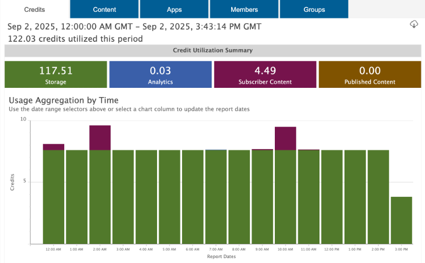
ArcGIS Online shows the sampled value in the Credits tab of the portal status dashboard and deducts the corresponding credits hourly.
In ArcGIS Location Platform
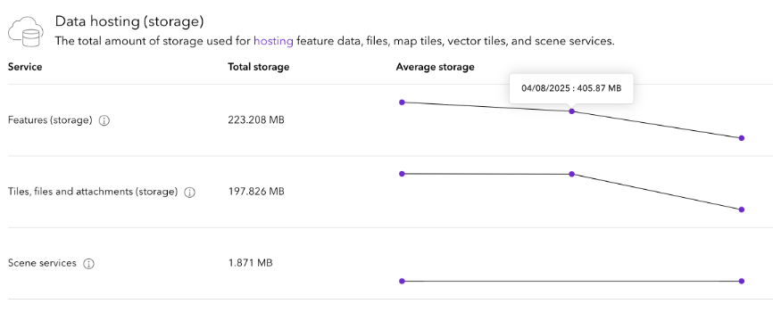
ArcGIS Location Platform displays average storage usage in the Usage tab of the dashboard, but only at the end of the day, when any applicable charges are calculated.
Cost per MB per time unit
Since costs are based on MB per month and samples are taken hourly, the cost per MB per hour varies depending on the number of hours in the month (e.g., 720 in a 30-day month vs. 744 in a 31-day month).
For example, in July (31 days), this means:
- ArcGIS Location Platform is charged in USD per MB/day
- Feature storage: $0.0044 per MB / 31 days ~= $0.000141 MB/day
- File storage: $0.00012 per MB / 31 days ~= $0.00000387 MB/day
- ArcGIS Online is charged in credits per MB/hour
- Feature storage: 0.24 credits per MB / (31 days * 24 hours) ~= 0.000322 credits per MB/hour
- File storage: 1.2 credits per 1024 MB / (31 days * 24 hours) ~= 0.000001575 credits per MB/hour
Note: ArcGIS Location Platform billing updates daily, while ArcGIS Online deducts credits hourly.
Free tier (ArcGIS Location Platform only)
ArcGIS Location Platform includes 250 MB of free daily storage for file storage and a separate 250 MB for feature storage.
At the end of a single day, if your average daily storage exceeds 250MB, you will be charged for the excess.
Practical examples: Storage billing interpretation
Let’s see some examples of how much you will be billed for storage.
ArcGIS Location Platform – File storage example
This is an example of a five-day period (July 5–9) in which an account exceeds the file storage free tier (going from 100 MB to 1,250 MB) and later reduces its usage, illustrating how costs are calculated and accumulated during the billing period.
Considering the daily cost for file storage in July is $0.00000387 per MB/day:
| Day | Average Daily Storage | Price per MB/day (in USD) |
Usage Beyond Free Tier (MB) | Daily Cost After Free Tier (USD) | Accumulated Cost (Current Billing Period) |
|---|---|---|---|---|---|
| 5 July | 100 MB | $0.00000387 | 0 MB | $0 | $0 |
| 6 July | 250 MB | $0.00000387 | 0 MB | $0 | $0 |
| 7 July | 1250 MB | $0.00000387 | 1250-250=1000 MB | $0.00387 | $0.00387 |
| 8 July | 1250 MB | $0.00000387 | 1250-250=1000 MB | $0.00387 | $0.00774 |
| 9 July | 200 MB | $0.00000387 | 0 MB | $0 | $0.00774 |
This means that if, by the end of July 7th, no mechanism is in place to charge this amount at the end of the billing period (e.g., pay-as-you-go, purchase order), access to hosted data services will be suspended until:
- You enable pay-as-you-go.
- Reduce the storage + wait until the next billing cycle.
Keep in mind: If the rounded value is $0.00 (as in the example above, $0.00774), it will seem that there are no charges, but access to data services will remain suspended.
ArcGIS Online – Feature storage example
At the Esri Community, you can find a nice example of how Feature storage credits are charged hourly based on a monthly rate in ArcGIS Online.
Billing differences
Billing works differently across products, particularly in how usage is tracked, reported, and invoiced.
About payment methods: Both products support credit cards and purchase orders, and ArcGIS Online also accepts PayPal.
Let’s see how each product handles these processes.
ArcGIS Online
This is how it works:
- ArcGIS Online doesn’t provide real-time billing.
- Usage is metered periodically and deducted hourly from your organization’s credit balance.
- Credit usage reports are updated regularly, as explained in the next article.
ArcGIS Location Platform
ArcGIS Location Platform works differently; you pay for only the service you use that exceeds the free tier with monthly invoicing:
- Usage updates: Usage data refreshes every 24 hours for data hosting.
- Daily usage: Totals reflect the 24-hour period ending at midnight UTC.
- Daily summary: A complete daily billing activity is available after 5 PM PST, showing usage from the previous 24-hour period. Processing may take up to two hours.
- Billing model: Usage-based, billed monthly.
- Billing cycle start: The billing cycle begins on the account creation date and renews monthly.
- Billing updates: Finalized charges, usage summaries, and invoice generation are processed on Pacific Standard Time (PST).
- Free tier: Charges apply only after the free tier is exceeded.
For more details, see Help > Billing page and Help > FAQ > Pricing.
Conclusions
In summary, in this article, you have learned:
- That, depending on the product we use, we can either build revenue-generating apps or not.
- How pricing differs across products and service types, both in cost and billing method.
- What metrics influence the calculation of service costs, and how prices vary depending on the product.
- How billing works, particularly in ArcGIS Location Platform.
- When you contact sales, your account manager, or partner manager. For example, to discuss special use cases, evaluate purchase orders, or explore Premium Data Stores.
- How costs are calculated.
Final note about cost estimations
While you can estimate hosted data service costs with reasonable accuracy, it’s not feasible to calculate or trace every kilobyte of storage, bandwidth, or tile usage precisely.
The system’s complexity and optimization mechanisms make exact tracking difficult, but the available metrics should be detailed enough to support effective budgeting and help you attribute costs with a high degree of confidence.
Next steps
Now that you know how pricing works, don’t miss the following article, where we dive deep into understanding “ArcGIS hosted data service usage differences“.
If you have any questions, feel free to join the conversation in our community forums:
- Esri Community > ArcGIS Online Questions
- Esri Community > Developers > ArcGIS Location Platform Questions
Or if you found something confusing or believe you’ve spotted an error or inconsistency in this article, reach out to us at developers@esri.com.
Finally, if you found this article useful and believe others in your professional network may benefit from it, we would greatly appreciate it if you could share or engage with the post on LinkedIn, Bluesky, or X.
Thank you to everyone who contributed to the content of this article. You rock! Extra special thanks to Isaac Viel, Todd Smith, and Jorge Rivera.


Article Discussion: