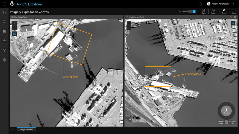
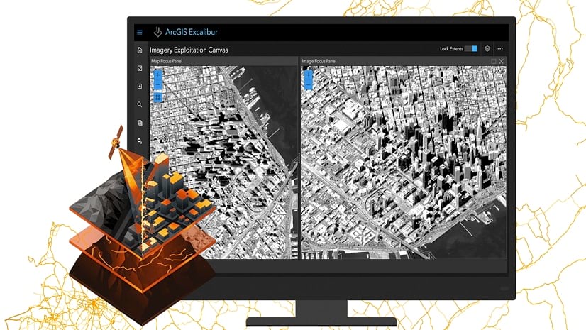
At the initial release of ArcGIS Excalibur in April 2019, we introduced imagery projects to help enhance analyst workflows. An imagery project is a dynamic way to organize and reference resources that are required to complete an image-based task in a single location. The way projects are organized helps modernize a collection of resources from a local repository of information to those that can extend across an organization’s enterprise using ArcGIS shared services and resources.
With the September 2020 release of ArcGIS Excalibur, we have further extended the way in which imagery projects can be created by using a python script to automate this workflow. This is a quick and versatile way to create an imagery project based on specific project information such as:
- Project Details (Title, Summary, and Description)
- Project Instructions
- Image Layer (ArcGIS Image Service or WMS)
- Observation Layer(s)
- Web Map
If your settings do not change day-to-day, but your imagery does, using a python script is a great way to automate the creation of a project. This is also an extremely useful workflow to spin up numerous imagery projects quickly based on a significant event that took place.
Using the python script to create imagery projects is compatible with any version of ArcGIS Excalibur.
Get started
You can access the script on an Esri GitHub repository. This repository contains Python scripts and sample configuration files that can be used to create Excalibur Imagery Projects outside of the Excalibur application.
To get the scripts and configuration files, clone the repository or download it as a zip file and extract the contents to your machine. The files included are:
- Sample JSON files that define an Excalibur Imagery Project
- Sample JSON files that define overall configuration definitions for running the scripts
- Python scripts that create an Excalibur Imagery Project item in the portal and made available in ArcGIS Excalibur application.
The script requires a Python 3 environment. You must also be a user with permissions to create items in their Enterprise. To use the script to create an Imagery Project, you can adjust the provided sample project JSON to reflect your desired project details and run the script in a terminal. You can run the following command to get started:
Note: This script currently supports username and password authentication. Other forms of authentication will be released in future scripts.
Read more about new features and updates in ArcGIS Excalibur September 2020 release on the ArcGIS Blog. To learn more about Excalibur and add it to your organization’s ArcGIS Enterprise deployment, get in touch with an Esri representative at go.esri.com/excalibur or visit the YouTube Playlist.


Article Discussion: