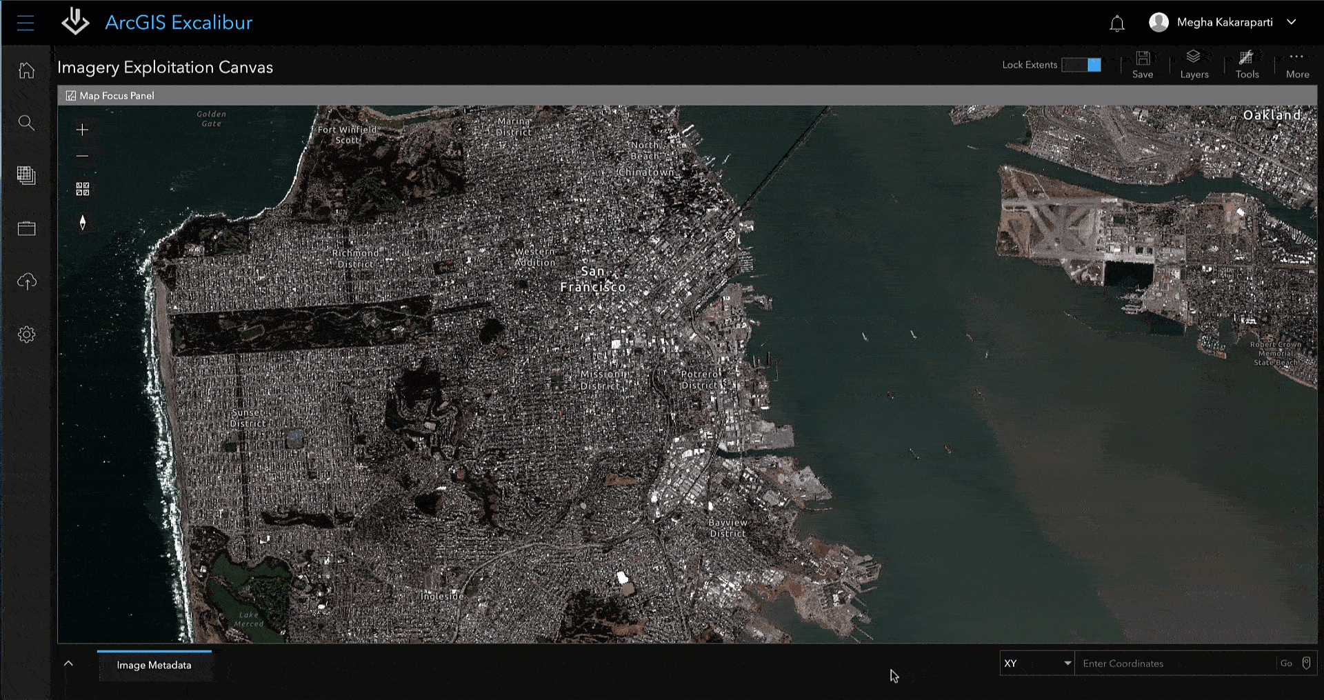
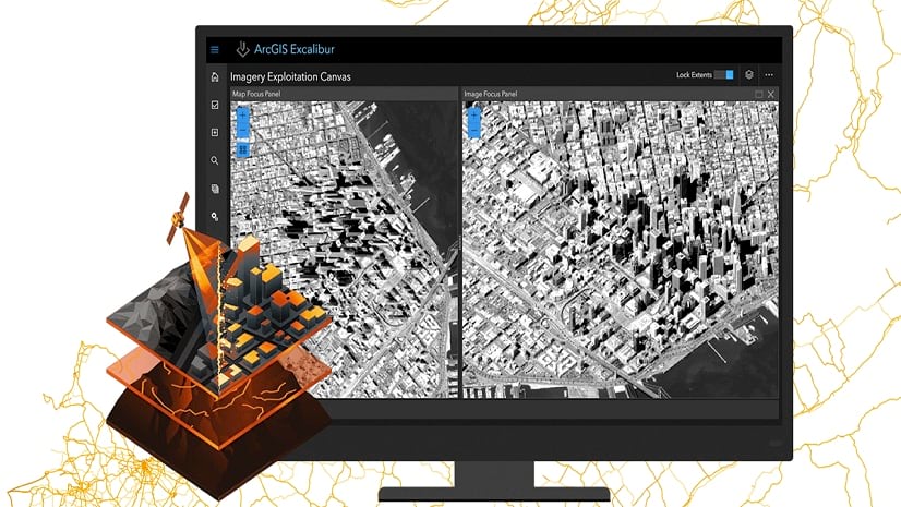
ArcGIS Excalibur transforms the way analysts search, discover, and work with imagery—all in a single web-based application. Excalibur modernizes and enhances image-based workflows by unifying traditionally separate geospatial and imagery-based views into a single integrated experience. With an easy-to-use, web-based experience, Excalibur has the power to improve daily decision-making across organizations.
The May 2021 release of ArcGIS Excalibur delivers a wide range of exciting new capabilities that enhance observation management workflows, including a new, interactive tabular view of observation and context features, and a way to quickly navigate to a location on an image or map.
Copy Observations
In the December 2020 release, Excalibur included features aimed at optimizing workflow productivity by enabling users to make changes to multiple observations simultaneously during an editing session. Continuing with the theme of workflow optimization, users are now able to select and copy multiple existing observations as new observations. This tool is useful when users are applying previously collected observations to newer imagery. Users can edit the new observations’ metadata as needed.
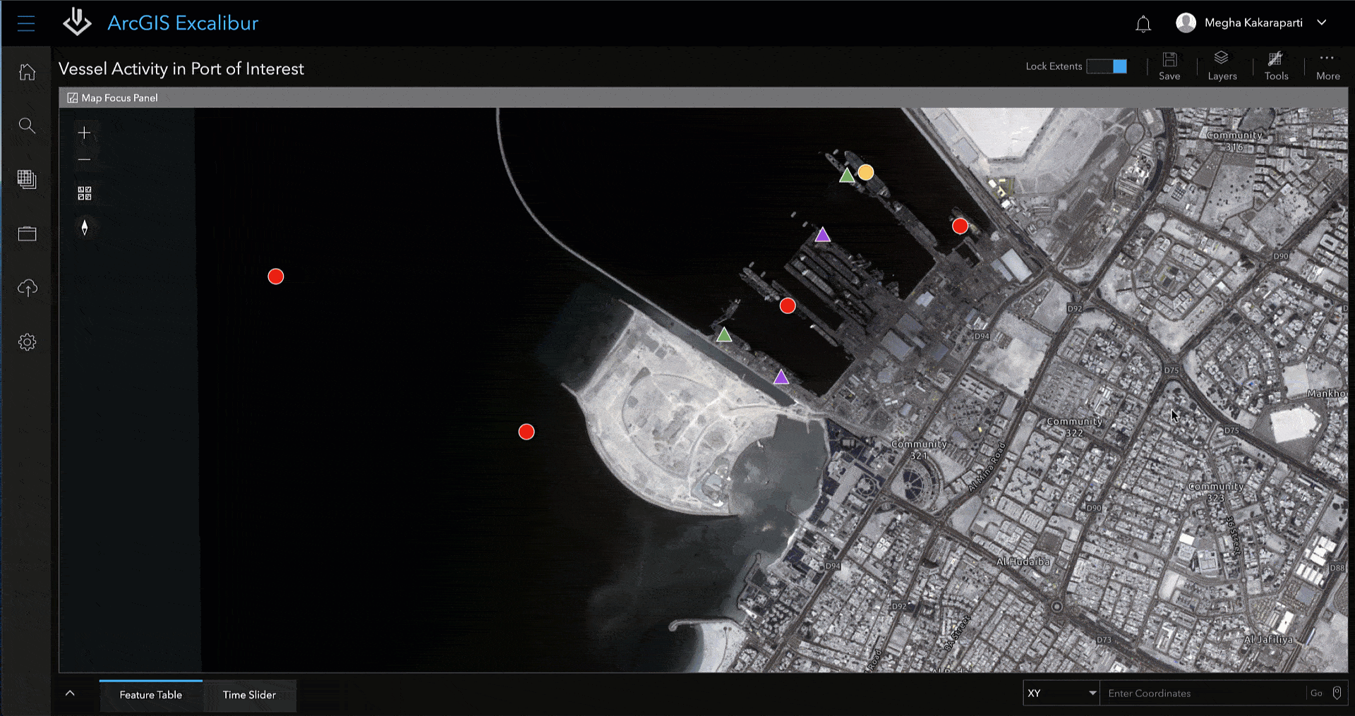
Interactive Feature Table
Have you ever needed to identify a feature on an image based on viewing its attributes? The feature table provides an interactive tabular view of any contextual or observation layers within your imagery project. Jump start your observation editing workflow with this new capability by selecting observations from a table and viewing the corresponding features highlighted on your imagery or map.
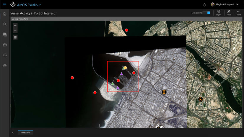
Go-to Coordinate Tool
When you need to quickly navigate to a location on an image or map, using the Go-to Coordinate tool is an efficient way to achieve this goal. Users can input coordinates using one coordinate system and then have the option to view or copy the output to a different coordinate system using multiple notation formats. The Go-to Coordinate tool enables users to pan-to and center on the corresponding location on the map or capture any coordinates location by clicking directly in the map view.
Stay in the Know
ArcGIS Excalibur continues to transform imagery workflows with constant improvements in response to customer input, building on the capabilities of ArcGIS. To learn more about Excalibur and add it to your organization’s ArcGIS Enterprise deployment, get in touch with an Esri representative at go.esri.com/excalibur, visit the Esri Community page, and our YouTube Playlist.


Article Discussion: