Updated December 20th, 2021: An update to this blog and the linked Story Maps can be found here. The update includes additional features in the ArcGIS Vector Style Editor. More information on that can be found here.
Vector Tile Layers can be used to create multi-scale maps that are efficient, high-resolution and customizable. Esri’s Living Atlas Content Team has created vector tile versions of most of our traditional basemaps (plus some new ones), and these work well in themselves.
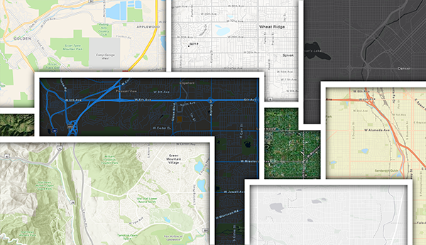
But have you ever had that moment where you thought ‘This basemap would work really well, if only …’?
These links take you to a sequence of story maps that introduce the mechanics of customization – using our basemaps as a starting point to build something perfectly suited for your work.
Pt 1: Starting
Pt 2: Colors
Pt 3: Lines
Pt 4: Labels
It assumes that you have zero knowledge of working in this environment (editing JSON code), but even if you do know your way around a block of code, it will help you to understand how our maps are structured.


Commenting is not enabled for this article.