Recently there have been some significant improvements to the ways in which we can interact with Vector Tile Maps, and Vector basemaps in particular.
I first wrote a blog and a series of Story Maps about customizing basemaps in 2017. The Story Maps have now been brought up to date, and you can find links to the new versions at the bottom. They take you through all aspects of working with Vector Tile Maps in general, and Vector Basemaps in particular.
The most important change is that now the Vector Tile Style Editor can be the focus of all of your work. There are numerous small ‘tweaks to the way this works, but two changes stand out:
Working with Code
There is now a JSON editor included, combining two ways of working with vector tiles in one location. If you prefer to wrangle code this is great! If not, there are still certain tasks, including adding features from the vector tile package, that can only be achieved through the code

Changing the Map Hierarchy
It is now possible to duplicate layers of information (to ‘case’ roads for example), and to adjust the hierarchy of information in the ‘drawing order’ view.

Links
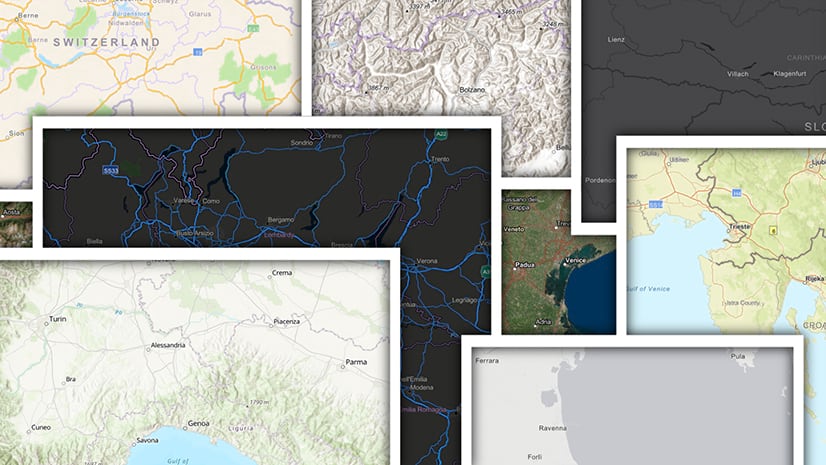
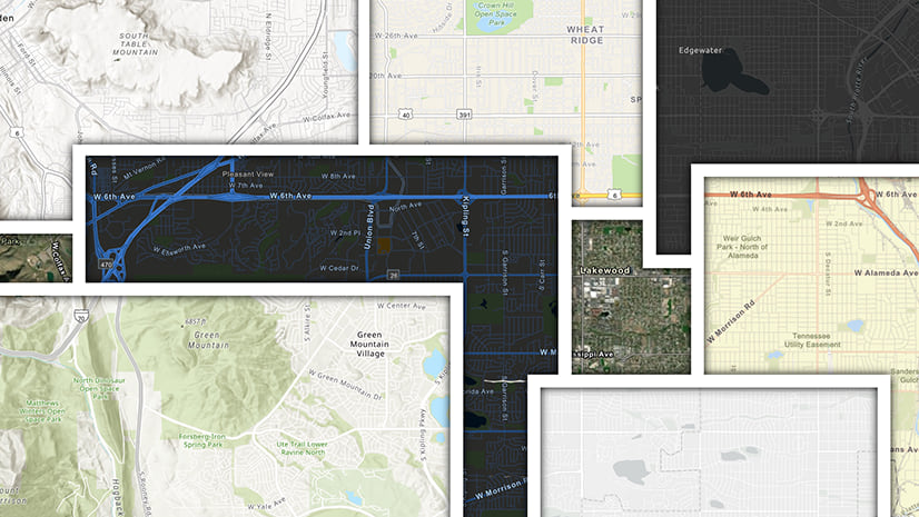
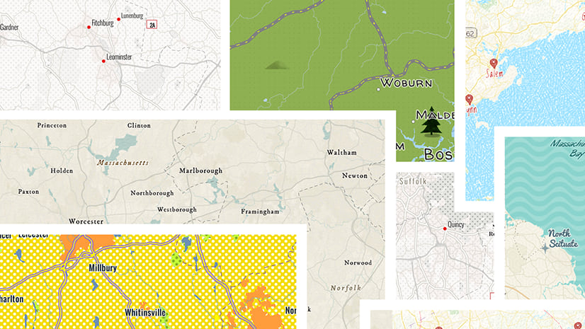
Click on the images below to link to the Story Maps:
Part 1: Looking at the basics of interacting with Vector Basemaps

Part 2: Working with color

Part 3: Adding and reorganizing layers, and working with Lines

Part 4: Working with Labels

Part 5: Working with Sprites to create icons and patterns


Article Discussion: