ArcGIS StoryMaps is the professional storytelling tool that enables you to transform your geographic work into interactive content to inform and inspire others. It makes it easy to explain complex topics related to your knowledge and experience.
We update ArcGIS StoryMaps regularly with new features and capabilities, and here’s what’s been added recently:
- More display options for map tour
- Collection settings
- Find Living Atlas content more easily
- Interact with floor-aware maps
- And more…
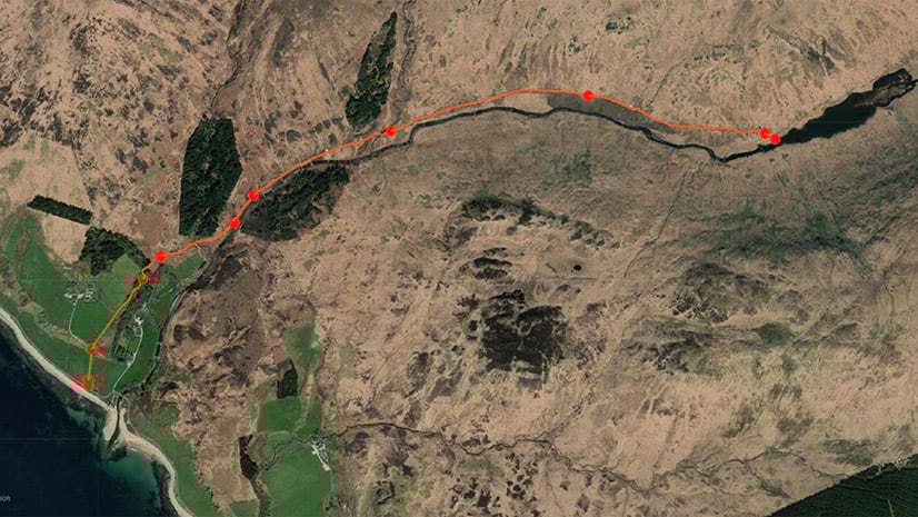
More display options for map tour
When making a map tour from a feature layer (we often refer to this as a “data-driven tour”), you now have more options for how to set the display order: any field from the feature layer can be used to sort the tour places.
You’ll see the previously available options (Original order and Place title) as well as all other fields from the feature layer. This provides more flexibility in how to present your tour. For example, you could now use a date field to sort places by most recently constructed or least recently renovated. You could also use a field that you maintain to manually set the order.

Collection settings
You can now have the flexibility to control several aspects of your collections. You can hide the share menu for collections that are shared publicly and also set the language for a collection. This ensures that the text elements on the cover (the “Collection” heading, the “Get started” button, as well as the header menu options) appear in the same language as your collection. It also helps browser translation tools and screen readers work as expected.
These are similar to the settings that were already available for stories and can be found in a similar place. Just go to the … menu in the collection builder header and you’ll find the new Collection settings option there.

Find Living Atlas content more easily
ArcGIS Living Atlas of the World is the foremost collection of geographic information from around the globe. It includes over 10,000 pieces of rich geographic content that can support your storytelling.
This month, we’ve refreshed the experience of browsing Living Atlas maps in the story builder. You can now search across all categories and in regions other than your own, and we’ve also added some helpful sorting options. This updated experience is also available when adding stories and apps from Living Atlas to a collection.
Interact with floor-aware maps
If you’re using ArcGIS Indoors to create floor-aware maps, your readers can now interact with this rich building information in your stories. Just add a floor-aware map to a story and the floor filter widget will appear automatically.

And more…
We’ve continued to roll out visual design updates to ArcGIS StoryMaps. These are part of a large project we’ve been working on to update and enhance the look and feel of the product. You’ve probably noticed menus are a bit more compact and tidy, buttons look and feel a bit different, and other visual changes. We hope these make your experience using ArcGIS StoryMaps more pleasurable and easy.
In addition, the following updates have been added recently:
- When viewing or editing a story or collection you own (or that’s in an org where you are an administrator), you’ll see a message letting you know if its theme has been deleted.
- The time animation widget is no longer in beta.
You can review the release notes for a full list of updates, changes, and fixes.
Thanks to StoryMaps editorial team member Will Hackney for his contributions to this post.
Banner photo by DariuszSankowski from Pixabay.


Article Discussion: