ArcGIS StoryMaps helps you tell remarkable stories with custom maps that inform and inspire. A story can effect change, influence opinion, and create awareness—and maps are an integral part of storytelling. ArcGIS StoryMaps can give your narrative a stronger sense of place, illustrate spatial relationships, and add visual appeal and credibility to your ideas.
We update ArcGIS StoryMaps regularly with new features and capabilities. Read on to learn about what’s been added this month…
Add an item to a collection using its URL
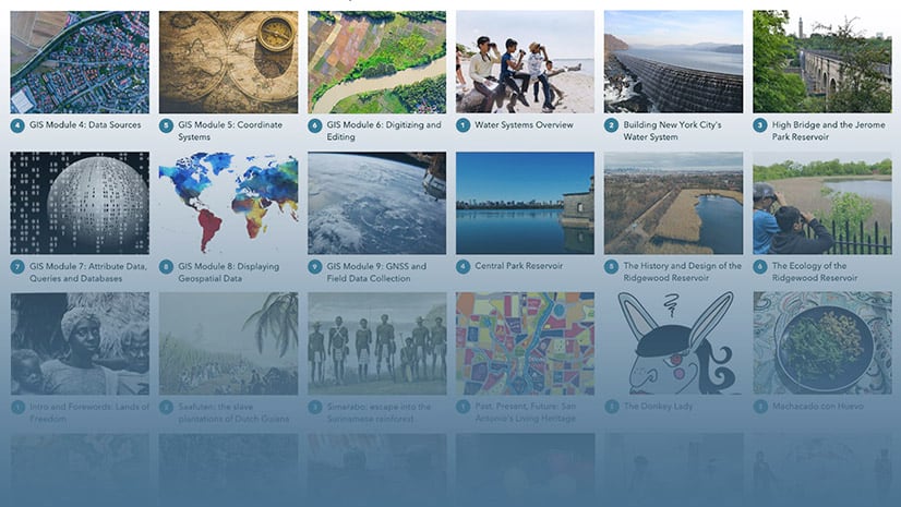
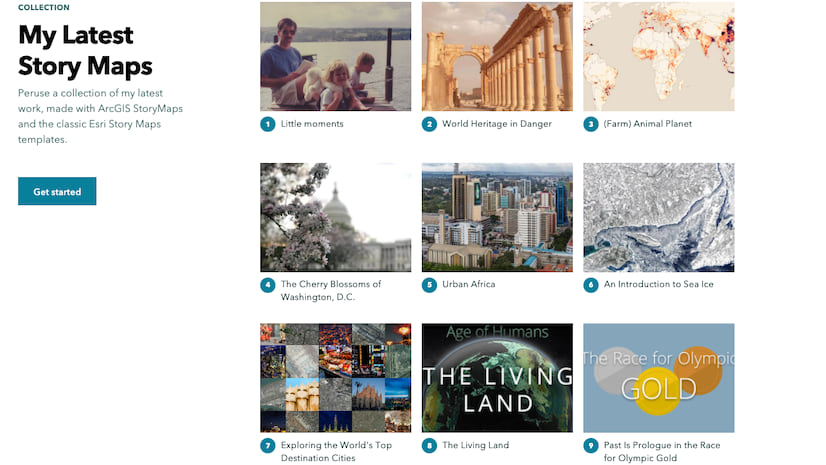
StoryMap collections are a great way to group stories that you want to share together. We’ve seen great examples of community members sharing stories they or their organizations have produced. Others have made compendiums of stories on a similar topic or shared a set of stories that are chapters in a longer narrative. Our team uses a collection to make it easy to browse all of the installments of the Weekly Waypoint, the source for StoryMaps news and inspiration.
In addition to adding stories, you’ve been able to add ArcGIS apps such as Dashboards, Web Experiences, Configurable Apps, or Insights Pages to a collection. These pieces of content can be provided as reference or supplemental materials to support the set of stories you share in your collection.
This month, collections have been enhanced so that you can now add a web app or web page via its link. This new feature makes it easier to add a story or ArcGIS app that you don’t own or isn’t in your organization, groups, or favorites, and it also opens up the ability to add non-ArcGIS content from the web. That means things like 3rd-party dashboards, interactive charts, websites, and other web content can now be provided along side the stories in your collection.
To add web content to your collection, just copy its URL from your browser, go to the collection builder, and choose Add to collection > Embed. The video below shows exactly how to do this.
One thing to keep in mind that some websites block embedding for security or branding reasons. If a site doesn’t permit embedding, you’ll see a message and you won’t be able to add the content to the collection.
For more about collections, check out Start your first ArcGIS StoryMaps collection.
Duplicate express maps
In sidecar and slideshow blocks, you can now duplicate slides that have an express map in the media panel.
You can use this feature to create a copy of an express map that you’ve already created. All the express map’s drawn features, annotations, and configuration settings will be duplicated to the new slide. Once the copy is created, you can edit each map independently.
This can be useful if you want to use the same express map at different points in your immersive. The ability to duplicate express maps also makes it easier to use certain map choreography techniques with express maps. You can duplicate a map and then add or remove features or annotation to either map or even change marker symbol colors to highlight specific features in individual slides. See an example of this in the video below.
For tips on using express maps, you can read What is an express map and why should you use one? And to learn more about map choreography, see Choreograph your maps with ArcGIS StoryMaps.
And more…
See the release notes for a complete list of updates and fixes in every update.
Thanks to StoryMaps editorial team member Will Hackney for his contributions to this post.
Banner photo by Jessica Ruscello on Unsplash


Article Discussion: